Old Maps of Gail, Texas
Explore 15 old maps of Gail, spanning from 1954 to today. These high-resolution historic maps reveal how streets, neighborhoods, landmarks, and natural features evolved over time — perfect for genealogy, metal detecting, research, and local history exploration.
What you can do with these maps:
- See how Gail changed over time: Compare historical maps to modern-day views to trace roads, homesites, rail lines & more.
- View detailed metadata: Each map includes creators, publishers, year, scale, and archive source.
- Overlay maps with satellite & LiDAR: Visualize the past alongside modern tools to explore terrain & human change.
- Trusted historical sources: Maps sourced from the USGS, Library of Congress, and other archives.
- Access maps your way: View online, download high-res files, or order prints for personal or research use.
Start exploring old maps of Gail to uncover forgotten places, hidden landmarks, and the deep history beneath your feet.
Gail, TX maps
(15)- 1954 Map of Big Spring, 1965 Print
 1954 Big Spring1965 Print · USGSWest Texas in the mid-1950s shows a landscape of growing oil towns and vital rail links along the Texas and Pacific RR. Researchers can trace the development of Big Spring, find smaller settlements like Knott and Lomax, or locate landmarks such as Boyds Chapel and Signal Mountain.4 unique versions available
 - 1958 Map of Big Spring
 1958 Big Spring1958 Print · USGSThe West Texas oil boom was in full swing during the late fifties, transforming the landscape around Howard and Mitchell counties. Genealogists and historians can trace the growth of Big Spring and Snyder alongside industrial landmarks like the Kelly-Snyder Oil Field and the Santa Fe rail lines.
 - 1969 Map of Gail, 1972 Print
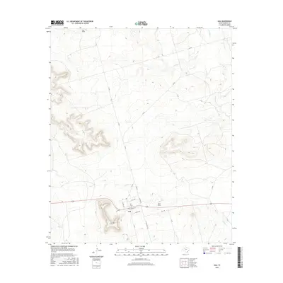
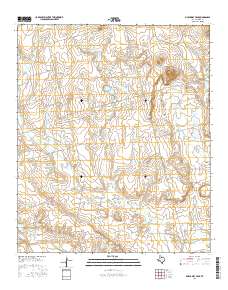
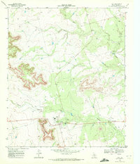 1969 Gail1972 Print · USGSBorden County ranching and civic life come into focus in the late sixties as the community of Town sits at the foot of Gail Mountain. Researchers can trace local roots through the Gail Sch, Cem, and the ranching culture of the Flying D Ranch.
 - 1970 Map of Mushaway Peak, 1973 Print
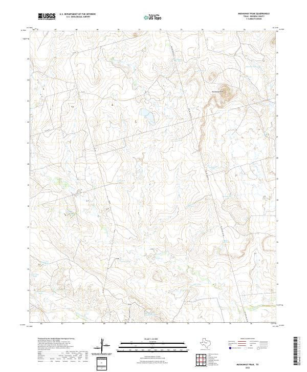
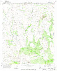 1970 Mushaway Peak1973 Print · USGSBorden County ranching and water management are the focus of this West Texas study from the early seventies. Trace the livestock infrastructure of family-named landmarks like Cunningham Tank and Coats Tank or the high ground at Mushaway Peak.
 - 1986 Map of Lamesa
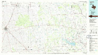 1986 Lamesa1986 Print · USGSWest Texas in the mid-eighties reveals a landscape of massive oil fields and cattle country where the High Plains drop off toward the Colorado River. Genealogists and historians can trace rail-side towns like O'Donnell and Fluvanna, or locate petroleum landmarks such as the Diamond M Oil Field and Jo Mill Oil Field.2 unique versions available
 - 2010 Map of Mushaway Peak, 2010 Print
 2010 Mushaway Peak2010 Print · USGSCovers Gail, including Borden County, United States, and other nearby areas
 - 2010 Map of Gail, 2010 Print
 2010 Gail2010 Print · USGSCovers Gail, including Borden County, United States, and other nearby areas
 - 2012 Map of Mushaway Peak, 2012 Print
 2012 Mushaway Peak2012 Print · USGSCovers Gail, including Borden County, United States, and other nearby areas
 - 2012 Map of Gail, 2012 Print
 2012 Gail2012 Print · USGSCovers Gail, including Borden County, United States, and other nearby areas
 - 2016 Map of Gail, 2016 Print
 2016 Gail2016 Print · USGSCovers Gail, including Borden County, United States, and other nearby areas
 - 2016 Map of Mushaway Peak, 2016 Print
 2016 Mushaway Peak2016 Print · USGSCovers Gail, including Borden County, United States, and other nearby areas
 - 2019 Map of Mushaway Peak, 2019 Print
 2019 Mushaway Peak2019 Print · USGSCovers Gail, including Borden County, United States, and other nearby areas
 - 2019 Map of Gail, 2019 Print
 2019 Gail2019 Print · USGSCovers Gail, including Borden County, United States, and other nearby areas
 - 2022 Map of Mushaway Peak, 2022 Print
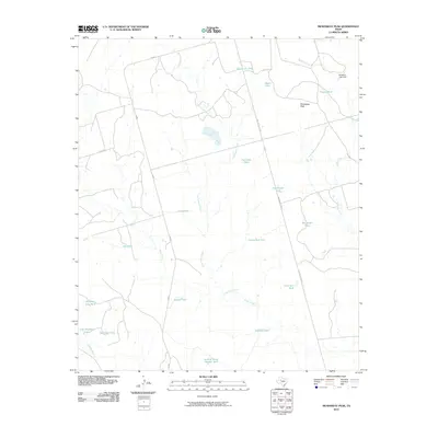
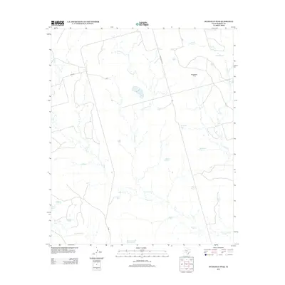
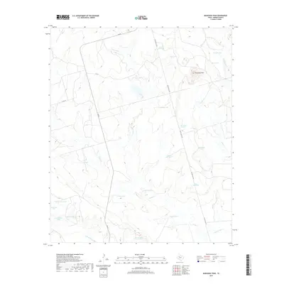
 2022 Mushaway Peak2022 Print · USGSBorden County ranch lands are documented here in the early twenty-first century, showing a landscape shaped by water management and West Texas geography. Trace the drainages of Little Grape Cr or locate ranching landmarks like Mushaway Peak and Behind Horse Pasture Tank.
 - 2022 Map of Gail, 2022 Print
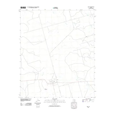
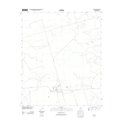
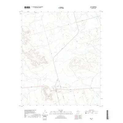
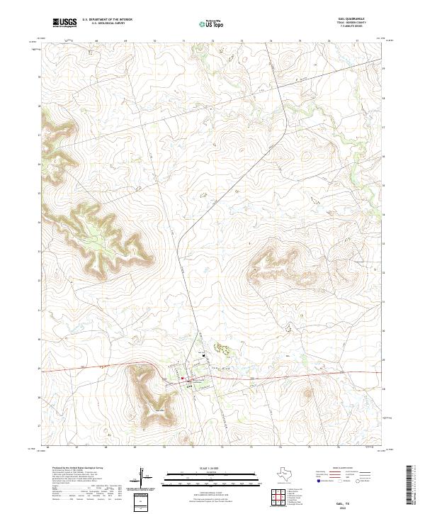 2022 Gail2022 Print · USGSThe Borden County seat and its West Texas surroundings are documented here in the early twenty-first century. Genealogists and historians can trace the town layout of Gail, including the Borden County Courthouse and Gail Cem.
End of results
Showing maps 1-15 of 15
Frequently asked questions
- What are the different types of historical maps available for Gail?
- What is the oldest map of Gail?
- Where can I purchase historical maps of Gail for my home or office?
- Where can I download high-res historical maps of Gail?
- Are there historical topographic maps available for Gail?
- Is there historical aerial imagery available for Gail?
- Where are historical maps of Gail sourced from?