2000s (21st Century) Maps of Velasco, Freeport
Explore 6 historic maps of Velasco from the 2000s (21st Century). These maps offer a rare glimpse into what life looked like during the 2000s — showing old roads, neighborhoods, homes, and landmarks that have changed or disappeared over time.
Whether you're researching your family's past, planning a metal detecting trip, or studying how Velasco's landscape evolved across the 2000s, these high-resolution maps are a powerful tool for exploring the history of this region.
- Focus on a specific era: All maps on this page are from the 2000s, giving you a focused view of this time period.
- See what’s changed: Compare century-old streets, trails, and buildings to today's modern landscape using overlays and satellite layers.
- Research with precision: Use these maps for genealogy, historical research, land use analysis, or educational projects.
- View, download, or print: Maps are fully viewable online in high resolution, and can be downloaded or printed for your own records.
Start exploring Velasco's history through authentic maps from the 2000s. This is your window into the past.
Velasco, Freeport maps
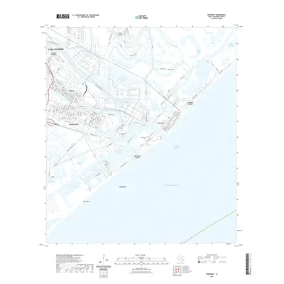
(6)- 2010 Map of Freeport, 2010 Print
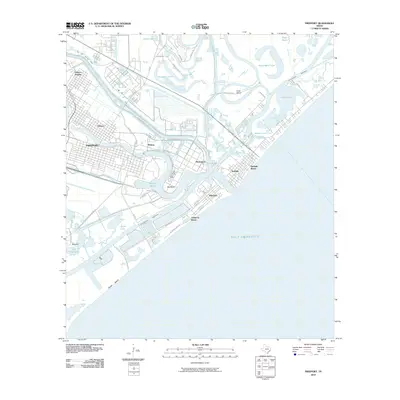 2010 Freeport2010 Print · USGSCovers Velasco, including Lake Jackson, Freeport, and other nearby areas
 - 2013 Map of Freeport, 2013 Print
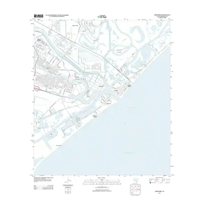 2013 Freeport2013 Print · USGSCovers Velasco, including Lake Jackson, Freeport, and other nearby areas
 - 2016 Map of Freeport, 2016 Print
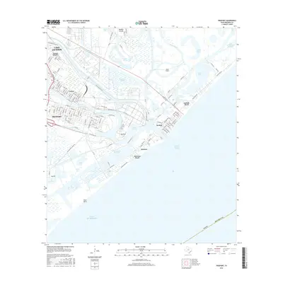 2016 Freeport2016 Print · USGSCovers Velasco, including Lake Jackson, Freeport, and other nearby areas
 - 2019 Map of Freeport, 2019 Print
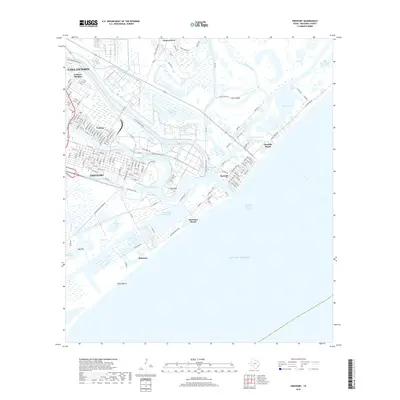 2019 Freeport2019 Print · USGSCovers Velasco, including Lake Jackson, Freeport, and other nearby areas
 - 2022 Map of Freeport, 2022 Print
 2022 Freeport2022 Print · USGSCovers Velasco, including Lake Jackson, Freeport, and other nearby areas
 - 2025 Map of Freeport, 2025 Print
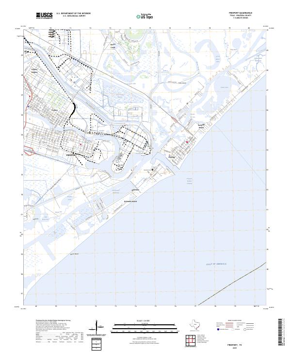 2025 Freeport2025 Print · USGSCoastal Brazoria County is shown at its industrial and maritime peak, where the Brazos River delta meets the Gulf. Researchers can trace the layout of Velasco, find the Quintana Cem, and study the massive turning basins and the Intracoastal Waterway.
End of results
Showing maps 1-6 of 6
Top cities near Velasco
- Lake Jackson historical maps
- Alvin historical maps
- Angleton historical maps
- Freeport historical maps
- Clute historical maps
- Hitchcock historical maps
See more
Frequently asked questions
- What are the different types of historical maps available for Velasco?
- What is the oldest map of Velasco?
- Where can I purchase historical maps of Velasco for my home or office?
- Where can I download high-res historical maps of Velasco?
- Are there historical topographic maps available for Velasco?
- Is there historical aerial imagery available for Velasco?
- Where are historical maps of Velasco sourced from?