Old Maps of Martha's Vineyard, Brazoria County for Hiking & Exploration
Hike through history with 11 historic maps of Martha's Vineyard. Explore old trails, ghost towns, and forgotten backroads — perfect for outdoor adventurers and local explorers.
- Rediscover forgotten places: Map out old mining camps, roads, and footpaths that no longer exist on modern maps.
- Layer with modern tools: Combine with LiDAR or satellite views to plan hikes through historical terrain.
- Made for exploration: Popular among hikers, overlanders, and local history lovers.
Use these maps to find adventure and explore the hidden past of Martha's Vineyard.
Martha's Vineyard, Brazoria County maps
(11)- 1950 Map of Houston, 1953 Print
 1950 Houston1953 Print · USGSCoastal Texas in the early fifties reveals a landscape of massive civil engineering and industrial transit. Genealogists and researchers can trace the growth of the Houston suburbs and the maritime infrastructure of Galveston Bay, including the Gulf Freeway and the Texas City Dike.
 - 1956 Map of Manvel, 1957 Print
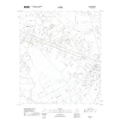
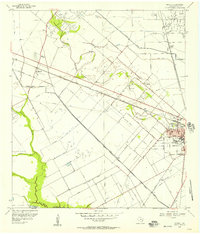 1956 Manvel1957 Print · USGSBrazoria County in the mid-fifties is captured here as a landscape of oil derricks and rice canals between the growing towns of Manvel and Alvin. Genealogists and local historians can trace the foundations of Consolidated Schools, find the Manvel Cem, or locate the Hastings Siding along the Santa Fe line.2 unique versions available
 - 1956 Map of Houston, 1963 Print
 1956 Houston1963 Print · USGSSoutheast Texas in the mid-fifties is captured here as a powerhouse of oil and maritime trade. Genealogists and historians can trace the foundations of Houston and its ports, alongside landmarks like the Rice Institute and the Spindletop Oil Field.2 unique versions available
 - 1959 Map of Manvel, 1977 Print
 1959 Manvel1977 Print · USGSBrazoria County in the fifties and sixties reveals a coastal landscape transitioning from ranching to a booming oil and rail hub. Genealogists and local historians can trace family-named sites like Booth Cem and Manvel Sch or follow the Atchison Topeka and Santa Fe line.
 - 1975 Map of Houston, 1977 Print
 1975 Houston1977 Print · USGSThe Texas Gulf Coast in the mid-seventies shows a sprawling Houston metropolis linked to the sea by the massive Houston Ship Channel. Researchers can trace the mid-century industrial landscape from the Astrodome to the Lyndon B. Johnson Space Center.2 unique versions available
 - 1984 Map of Angleton
 1984 Angleton1984 Print · USGSThe Texas Gulf Coast in the mid-eighties shows a landscape of salt domes and bayous at the height of its oil-and-river economy. Researchers can trace land use through the Damon Mound Oil Field and the sprawling State Department of Corrections (Retrieve Unit).2 unique versions available
 - 2010 Map of Manvel, 2010 Print
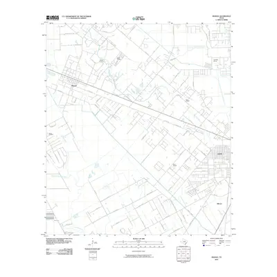 2010 Manvel2010 Print · USGSCovers Martha's Vineyard, including Alvin, Manvel, and other nearby areas
 - 2013 Map of Manvel, 2013 Print
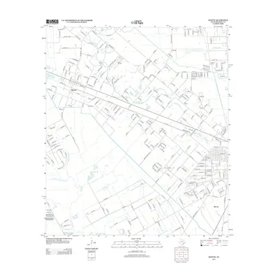 2013 Manvel2013 Print · USGSCovers Martha's Vineyard, including Alvin, Manvel, and other nearby areas
 - 2016 Map of Manvel, 2016 Print
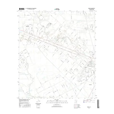 2016 Manvel2016 Print · USGSCovers Martha's Vineyard, including Alvin, Manvel, and other nearby areas
 - 2019 Map of Manvel, 2019 Print
 2019 Manvel2019 Print · USGSCovers Martha's Vineyard, including Alvin, Manvel, and other nearby areas
 - 2022 Map of Manvel, 2022 Print
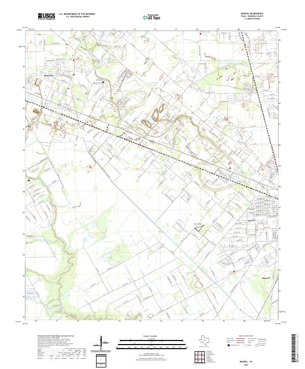 2022 Manvel2022 Print · USGSBrazoria County as it appeared recently shows the evolving landscape around Manvel and Alvin. Genealogists and local historians can trace family locations near Manvel Cem or follow the historic paths of Mustang Bayou and the Briscoe Canal.
End of results
Showing maps 1-11 of 11
Frequently asked questions
- What are the different types of historical maps available for Martha's Vineyard?
- What is the oldest map of Martha's Vineyard?
- Where can I purchase historical maps of Martha's Vineyard for my home or office?
- Where can I download high-res historical maps of Martha's Vineyard?
- Are there historical topographic maps available for Martha's Vineyard?
- Is there historical aerial imagery available for Martha's Vineyard?
- Where are historical maps of Martha's Vineyard sourced from?