2000s (21st Century) Maps of Bryan, Texas
Explore 30 historic maps of Bryan from the 2000s (21st Century). These maps offer a rare glimpse into what life looked like during the 2000s — showing old roads, neighborhoods, homes, and landmarks that have changed or disappeared over time.
Whether you're researching your family's past, planning a metal detecting trip, or studying how Bryan's landscape evolved across the 2000s, these high-resolution maps are a powerful tool for exploring the history of this region.
- Focus on a specific era: All maps on this page are from the 2000s, giving you a focused view of this time period.
- See what’s changed: Compare century-old streets, trails, and buildings to today's modern landscape using overlays and satellite layers.
- Research with precision: Use these maps for genealogy, historical research, land use analysis, or educational projects.
- View, download, or print: Maps are fully viewable online in high resolution, and can be downloaded or printed for your own records.
Start exploring Bryan's history through authentic maps from the 2000s. This is your window into the past.
Bryan, TX maps
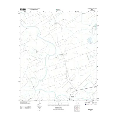
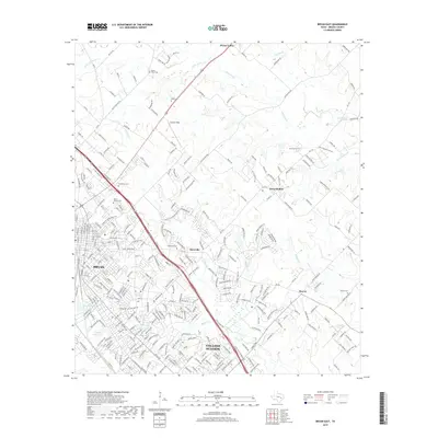
(30)- 2010 Map of Chances Store, 2010 Print
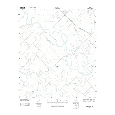 2010 Chances Store2010 Print · USGSCovers Bryan, including College Station, Snook, and other nearby areas
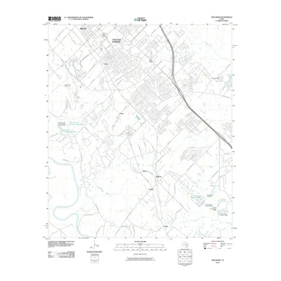
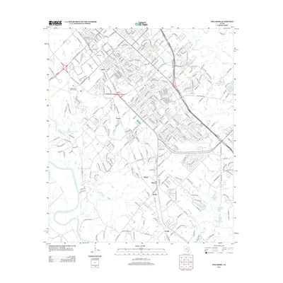
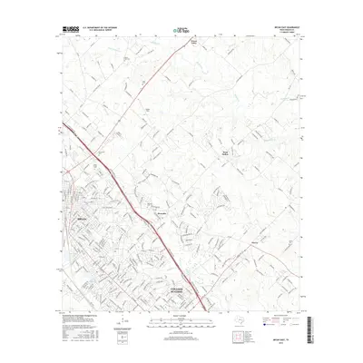
 - 2010 Map of Bryan East, 2010 Print
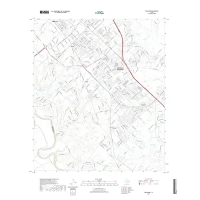
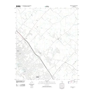 2010 Bryan East2010 Print · USGSCovers Bryan, including College Station, Wixon Valley, and other nearby areas
 - 2010 Map of Bryan West, 2010 Print
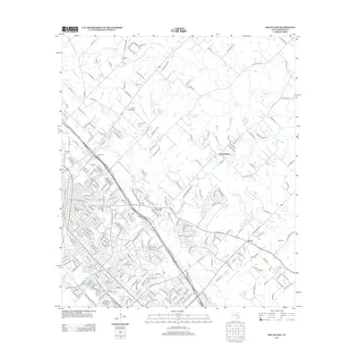
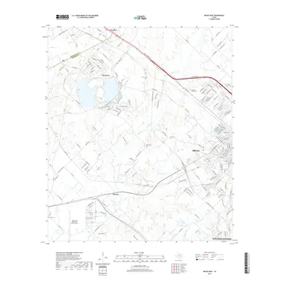
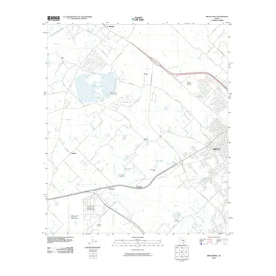 2010 Bryan West2010 Print · USGSCovers Bryan, including College Station, Fairview, and other nearby areas
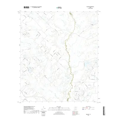
 - 2010 Map of Reliance, 2010 Print
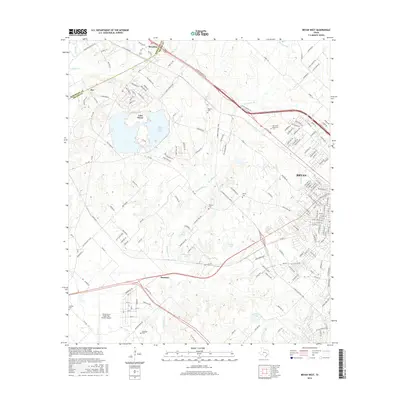
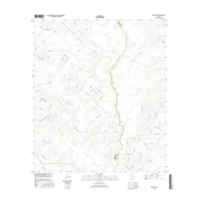
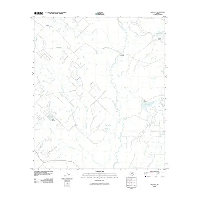 2010 Reliance2010 Print · USGSCovers Bryan, including Reliance, Brazos County, and other nearby areas
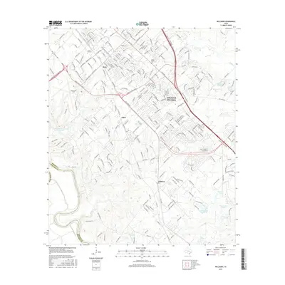
 - 2010 Map of Wellborn, 2010 Print
 2010 Wellborn2010 Print · USGSCovers Bryan, including College Station, Enright, and other nearby areas
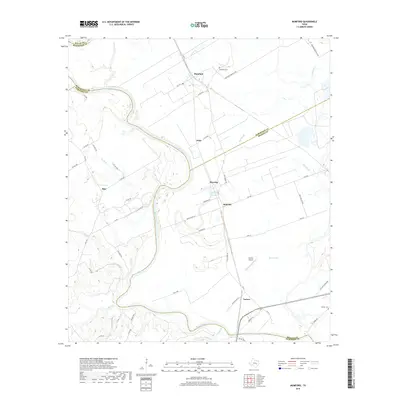
 - 2010 Map of Mumford, 2010 Print
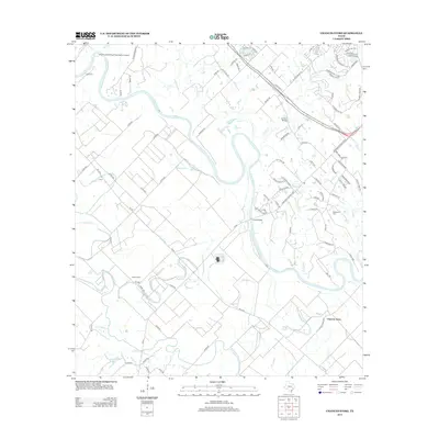
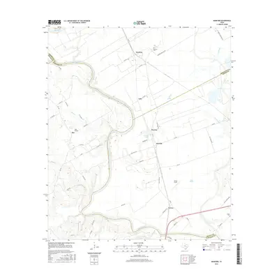
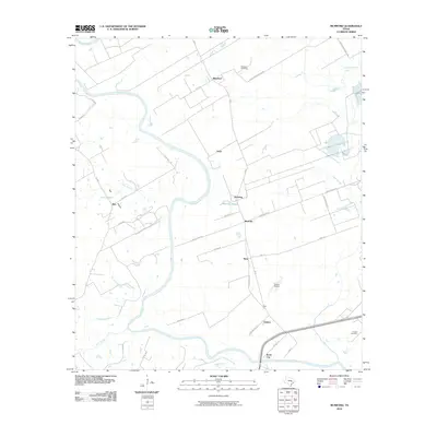 2010 Mumford2010 Print · USGSCovers Bryan, including Rita, Varisco, and other nearby areas
 - 2013 Map of Bryan West, 2013 Print
 2013 Bryan West2013 Print · USGSCovers Bryan, including College Station, Fairview, and other nearby areas
 - 2013 Map of Reliance, 2013 Print
 2013 Reliance2013 Print · USGSCovers Bryan, including Reliance, Brazos County, and other nearby areas
 - 2013 Map of Bryan East, 2013 Print
 2013 Bryan East2013 Print · USGSCovers Bryan, including College Station, Wixon Valley, and other nearby areas
 - 2013 Map of Wellborn, 2013 Print
 2013 Wellborn2013 Print · USGSCovers Bryan, including College Station, Enright, and other nearby areas
 - 2013 Map of Mumford, 2013 Print
 2013 Mumford2013 Print · USGSCovers Bryan, including Rita, Varisco, and other nearby areas
 - 2013 Map of Chances Store, 2013 Print
 2013 Chances Store2013 Print · USGSCovers Bryan, including College Station, Snook, and other nearby areas
 - 2016 Map of Chances Store, 2016 Print
 2016 Chances Store2016 Print · USGSCovers Bryan, including College Station, Snook, and other nearby areas
 - 2016 Map of Mumford, 2016 Print
 2016 Mumford2016 Print · USGSCovers Bryan, including Rita, Varisco, and other nearby areas
 - 2016 Map of Bryan West, 2016 Print
 2016 Bryan West2016 Print · USGSCovers Bryan, including College Station, Fairview, and other nearby areas
 - 2016 Map of Bryan East, 2016 Print
 2016 Bryan East2016 Print · USGSCovers Bryan, including College Station, Wixon Valley, and other nearby areas
 - 2016 Map of Wellborn, 2016 Print
 2016 Wellborn2016 Print · USGSCovers Bryan, including College Station, Enright, and other nearby areas
 - 2016 Map of Reliance, 2016 Print
 2016 Reliance2016 Print · USGSCovers Bryan, including Reliance, Brazos County, and other nearby areas
 - 2019 Map of Bryan West, 2019 Print
 2019 Bryan West2019 Print · USGSCovers Bryan, including College Station, Fairview, and other nearby areas
 - 2019 Map of Chances Store, 2019 Print
 2019 Chances Store2019 Print · USGSCovers Bryan, including College Station, Snook, and other nearby areas
 - 2019 Map of Wellborn, 2019 Print
 2019 Wellborn2019 Print · USGSCovers Bryan, including College Station, Enright, and other nearby areas
 - 2019 Map of Reliance, 2019 Print
 2019 Reliance2019 Print · USGSCovers Bryan, including Reliance, Brazos County, and other nearby areas
 - 2019 Map of Mumford, 2019 Print
 2019 Mumford2019 Print · USGSCovers Bryan, including Rita, Varisco, and other nearby areas
 - 2019 Map of Bryan East, 2019 Print
 2019 Bryan East2019 Print · USGSCovers Bryan, including College Station, Wixon Valley, and other nearby areas
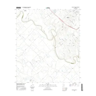
 - 2022 Map of Mumford, 2022 Print
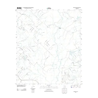
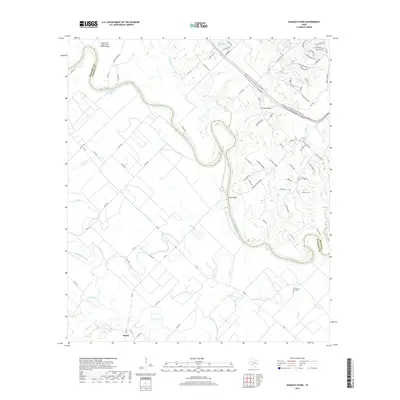
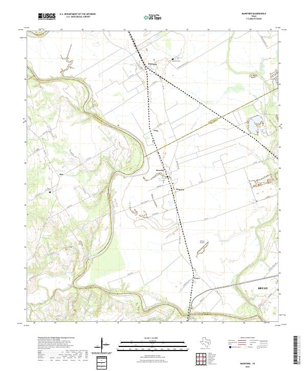 2022 Mumford2022 Print · USGSThe Brazos River bottomlands in the early twenty-first century reveal a landscape of enduring agricultural settlements and complex river hydrology. Genealogists and local historians can trace family-named sites like Teals Prairie Cem, Varisco Airport, and the community of Mudville.
Showing maps 1-25 of 30
Top cities near Bryan
- College Station historical maps
- Hearne historical maps
- Snook historical maps
- Millican historical maps
- Kurten historical maps
- Wixon Valley historical maps
Top neighborhoods of Bryan
- Harvey historical maps
- Smetana historical maps
- Boonville historical maps
- Wave Z Islander Apartments historical maps
- Saddlewood Apartments historical maps
- Reveille Ranch Apartments historical maps
Frequently asked questions
- What are the different types of historical maps available for Bryan?
- What is the oldest map of Bryan?
- Where can I purchase historical maps of Bryan for my home or office?
- Where can I download high-res historical maps of Bryan?
- Are there historical topographic maps available for Bryan?
- Is there historical aerial imagery available for Bryan?
- Where are historical maps of Bryan sourced from?