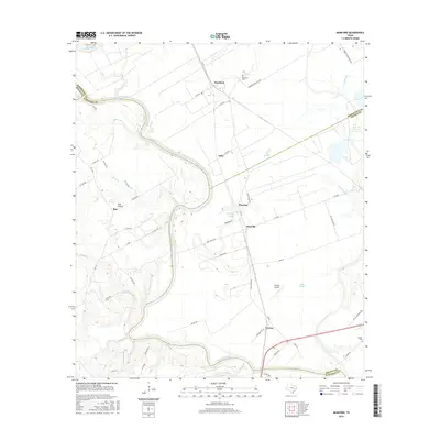
2016 Map of Mumford
USGS Topo · Published 2016About this map
The Brazos River creates a winding natural boundary across this landscape, defining the borders between Robertson, Milam, Brazos, and Burleson counties. The agricultural character of the region is evident in the scattered small settlements such as Mumford, Astin, and Mooring, which are connected by a network of farm-to-market roads and named lanes like Steel Store Rd and Fazzino Rd. This 2016 survey illustrates the persistent rural patterns of the Brazos Valley, where large oxbow features and sloughs like Mooring Slough and Sims Slough indicate the river's historic shifts.
Find a feature on this map
60 named features on this map. Tap any name to fly to it.
Don’t see what you’re looking for? This feature index may not catch every label — zoom into the map to look around manually.
Map Details
Editions of this 2016 Mumford Map
This is the sole edition of this map. No revisions or reprints were ever made.
Other maps of this area

1954 · Austin
USGS Topo · 1:250,000
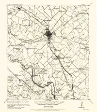
1956 · Bryan
USGS Topo · 1:62,500
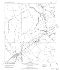
1956 · Caldwell
USGS Topo · 1:62,500
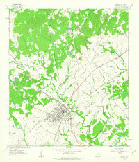
1961 · Caldwell
USGS Topo · 1:24,000
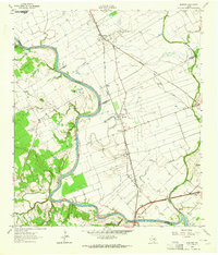
1961 · Mumford
USGS Topo · 1:24,000
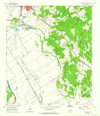
1961 · Hearne South
USGS Topo · 1:24,000
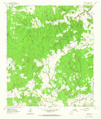
1962 · Goodwill
USGS Topo · 1:24,000
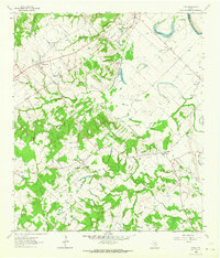
1962 · Tunis
USGS Topo · 1:24,000
1962 · Gause
USGS Topo · 1:24,000
1962 · Chances Store
USGS Topo · 1:24,000