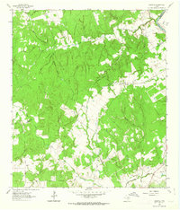
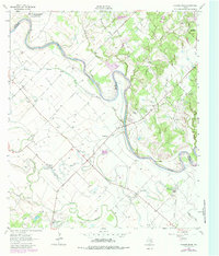
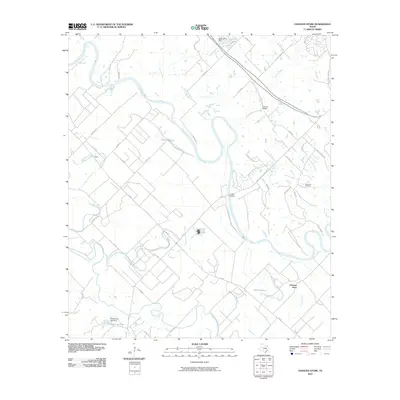
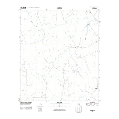
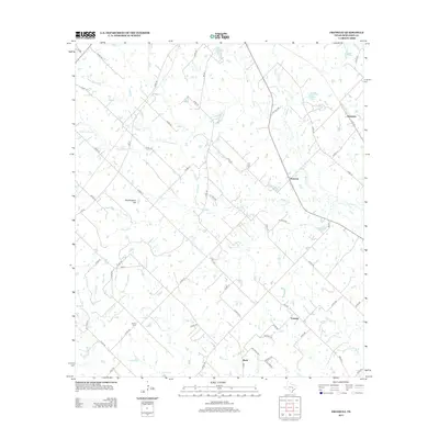
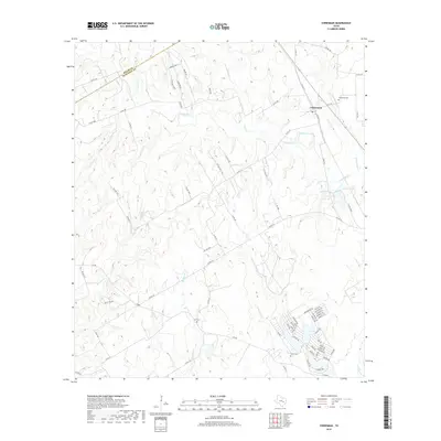
1962 Map of Goodwill
USGS Topo · Published 1963About this map
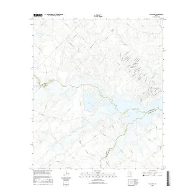
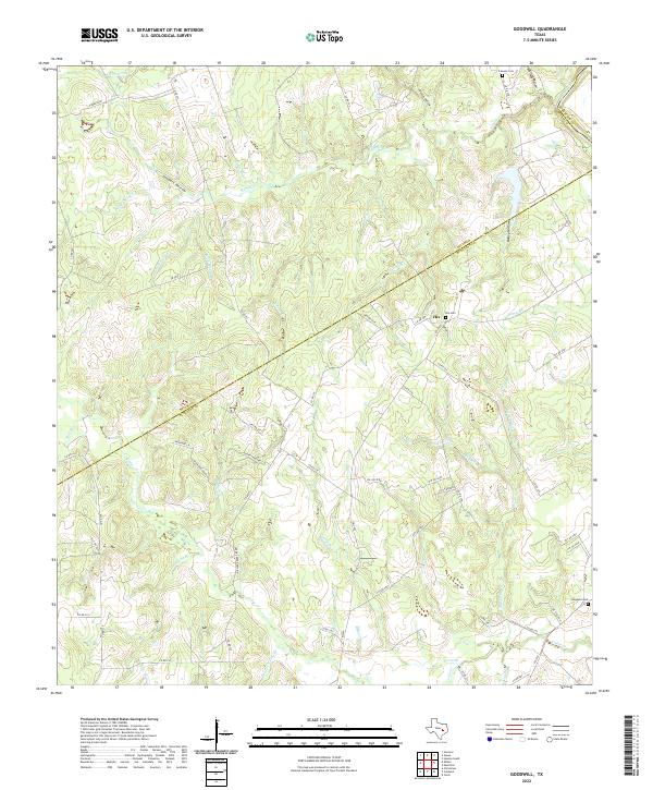
The Brazos R defines the northeastern boundary of this rural Texas landscape, where the borders of Milam, Robertson, and Burleson counties meet. The interior is a dense network of watercourses and hollows, including Sixmile Creek and Threemile Creek, which have carved the terrain into numerous named branches like Horn Branch and Pigeon Branch. The small community of Hix serves as a local focal point, supported by the Hix Cem and nearby Macedonia Ch.
Find a feature on this map
31 named features on this map. Tap any name to fly to it.
Don’t see what you’re looking for? This feature index may not catch every label — zoom into the map to look around manually.
Map Details
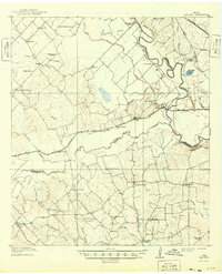
Editions of this 1962 Goodwill Map
2 editions found
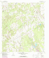
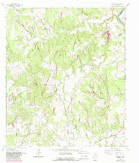
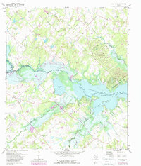
Historical Maps of Milam County Through Time
32 maps found
1914 Gay Hill
Burleson County, TX
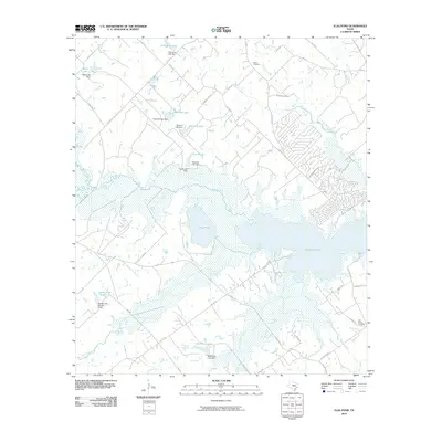
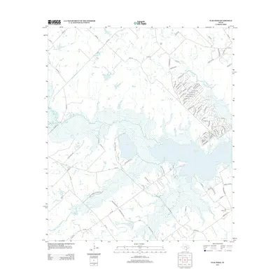
1959 Flag Pond
Burleson County, TX
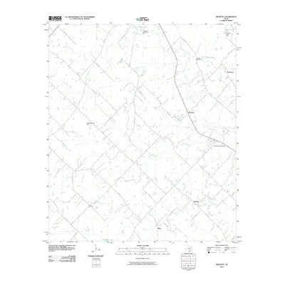
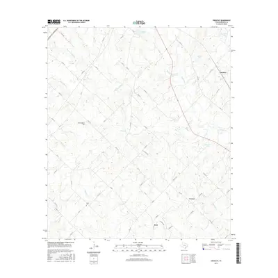
1960 Frenstat
Burleson County, TX
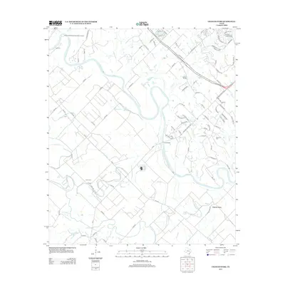
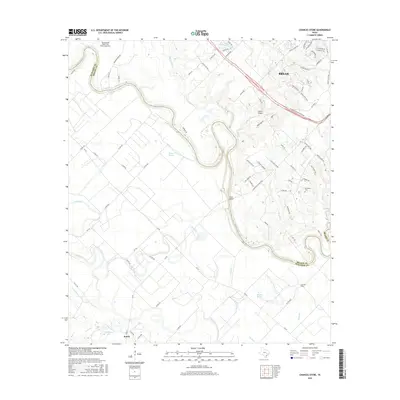
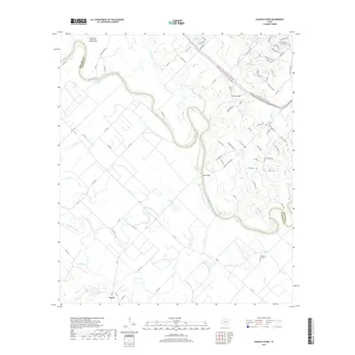
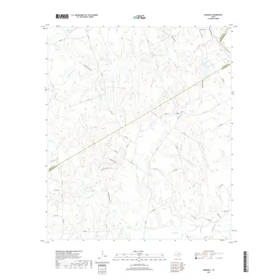
1962 Chances Store
Burleson County, TX
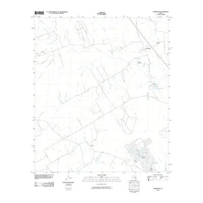
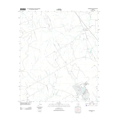
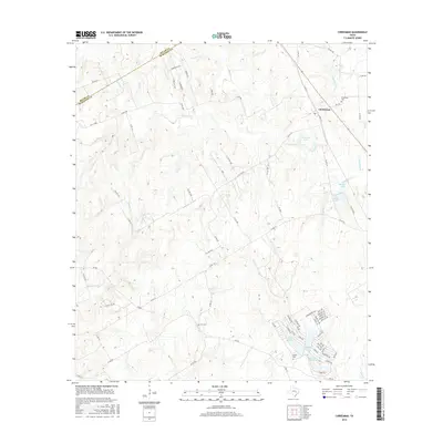
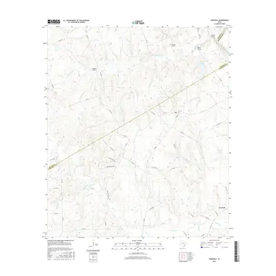
1962 Chriesman
Burleson County, TX
1962 Goodwill
Burleson County, TX
1971 Flag Pond
Burleson County, TX
2010 Chances Store
Burleson County, TX
2010 Chriesman
Burleson County, TX
2010 Flag Pond
Burleson County, TX
2010 Frenstat
Burleson County, TX
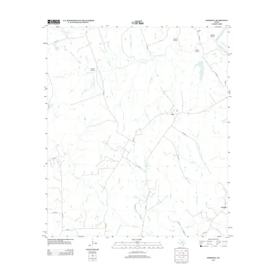
2010 Goodwill
Burleson County, TX
2013 Chances Store
Burleson County, TX
2013 Chriesman
Burleson County, TX
2013 Flag Pond
Burleson County, TX
2013 Frenstat
Burleson County, TX
2013 Goodwill
Burleson County, TX
2016 Chances Store
Burleson County, TX
2016 Chriesman
Burleson County, TX
2016 Flag Pond
Burleson County, TX
2016 Frenstat
Burleson County, TX
2016 Goodwill
Burleson County, TX
2019 Chances Store
Burleson County, TX
2019 Chriesman
Burleson County, TX
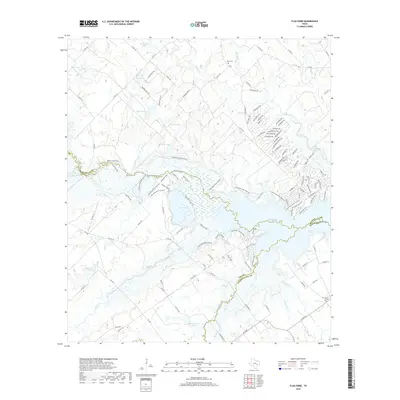
2019 Flag Pond
Burleson County, TX
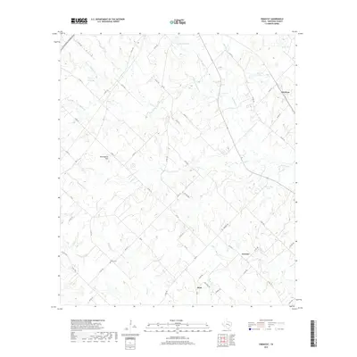
2019 Frenstat
Burleson County, TX
2019 Goodwill
Burleson County, TX
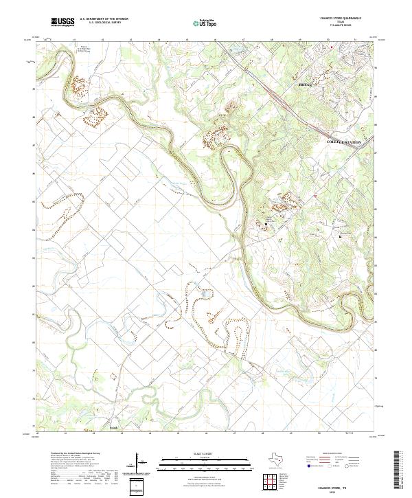
2022 Chances Store
Burleson County, TX
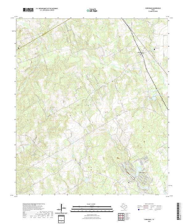
2022 Chriesman
Burleson County, TX
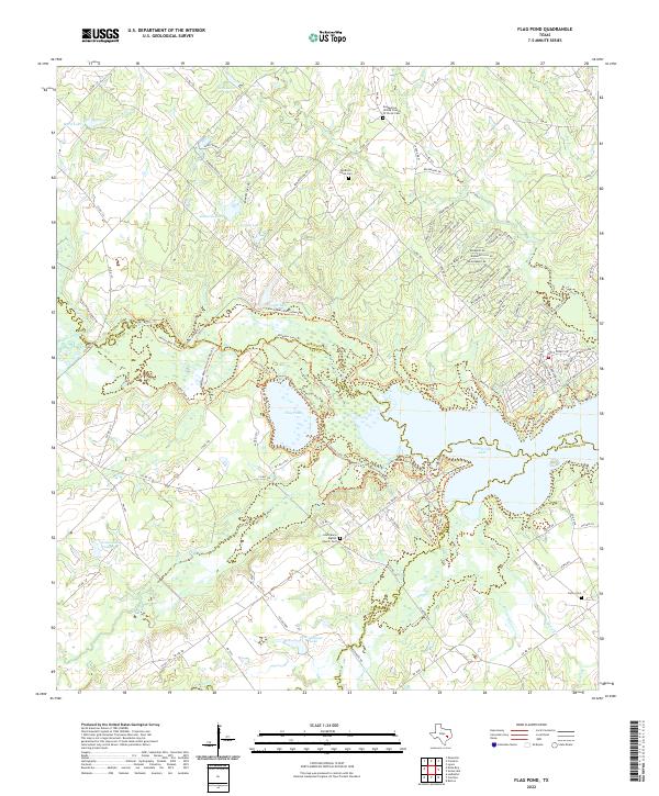
2022 Flag Pond
Burleson County, TX
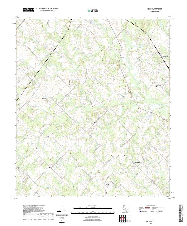
2022 Frenstat
Burleson County, TX
2022 Goodwill
Burleson County, TX