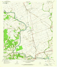
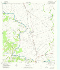
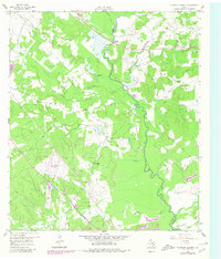
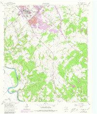
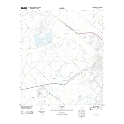
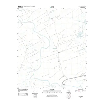
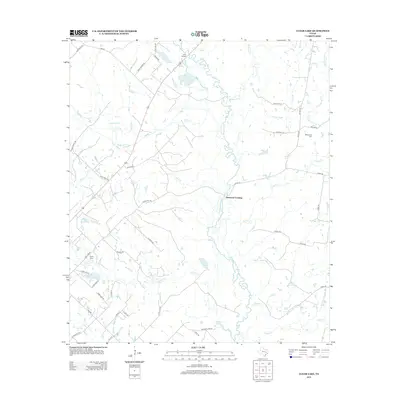
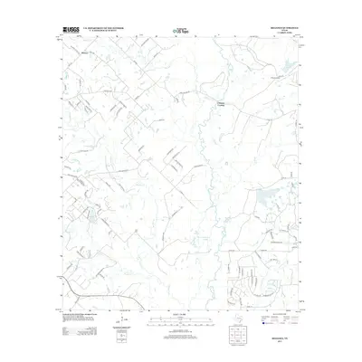
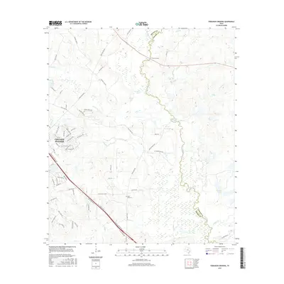
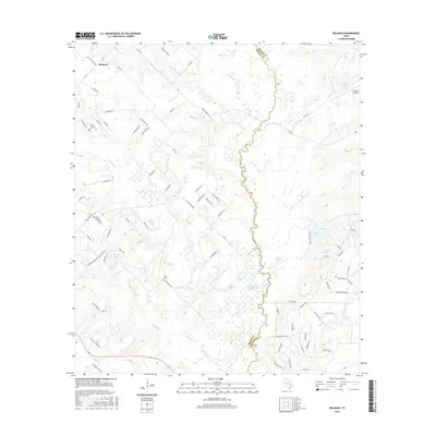
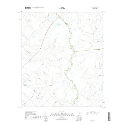
1961 Map of Mumford
USGS Topo · Published 1964About this map
The Brazos River meanders through this landscape at the intersection of Robertson, Brazos, Milam, and Burleson counties. A historical marker for the Fort Tenoxtitlan (Site) sits on the river's western bank, recalling the 1830 Mexican military outpost. The surrounding valley is defined by agricultural drainage and rail infrastructure, with the Southern Pacific and Missouri Pacific railroads connecting rural stations like Mumford, Astin, and Mooring.
Find a feature on this map
40 named features on this map. Tap any name to fly to it.
Don’t see what you’re looking for? This feature index may not catch every label — zoom into the map to look around manually.
Map Details
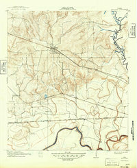
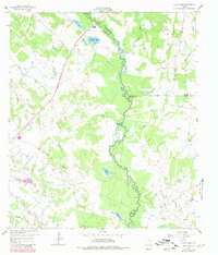
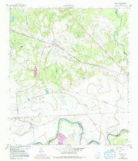
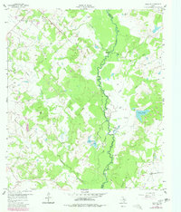
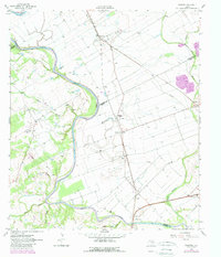
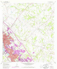
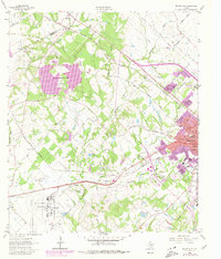
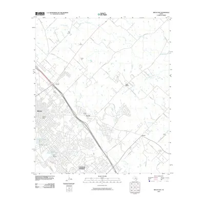
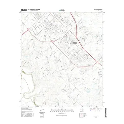
Editions of this 1961 Mumford Map
Historical Maps of Bryan Through Time
49 maps found
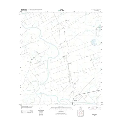
1913 Millican
Brazos County, TX
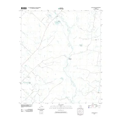
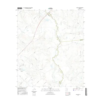
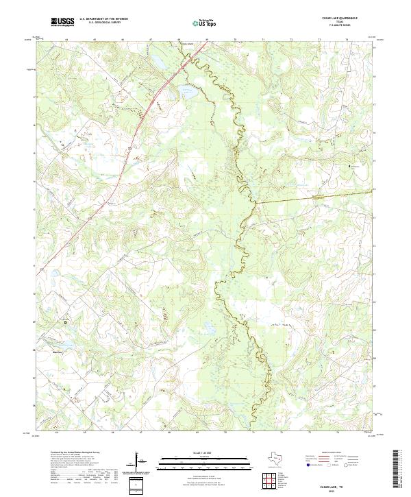
1959 Clear Lake
Brazos County, TX
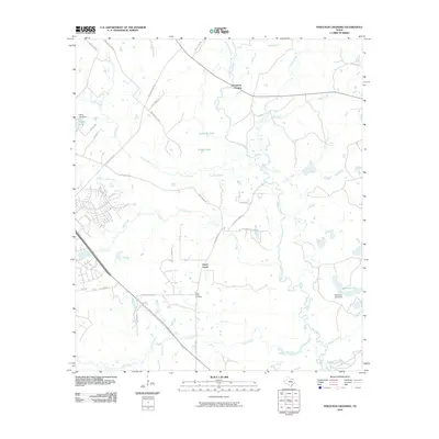
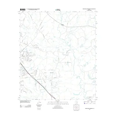
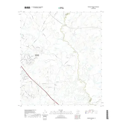
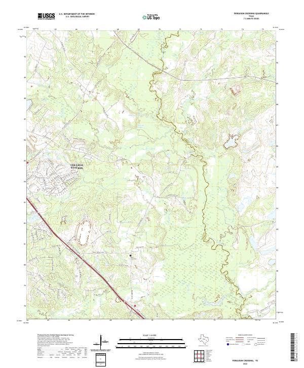
1959 Ferguson Crossing
Brazos County, TX
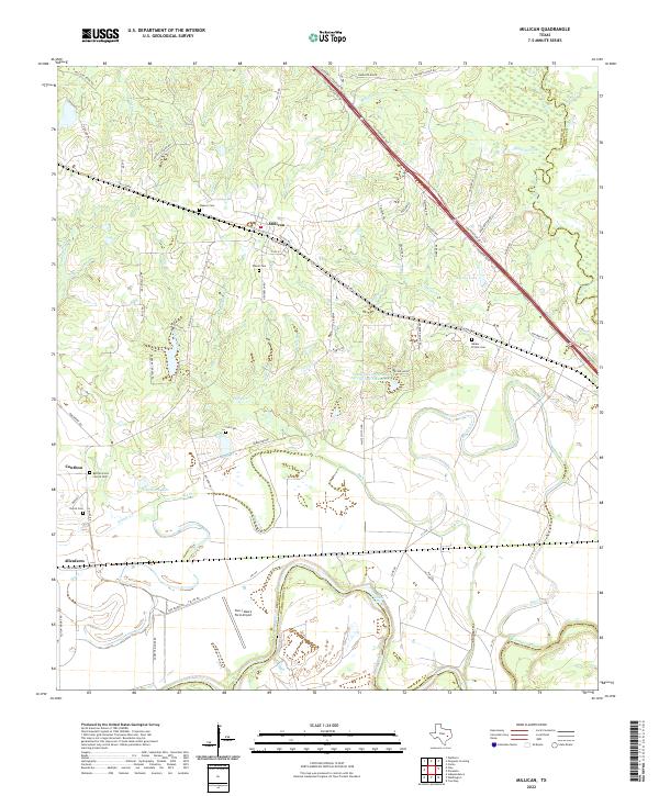
1959 Millican
Brazos County, TX
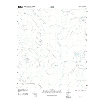
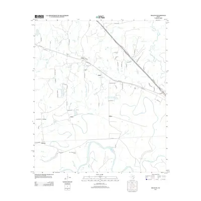
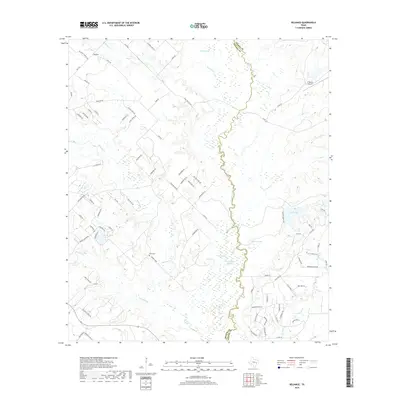
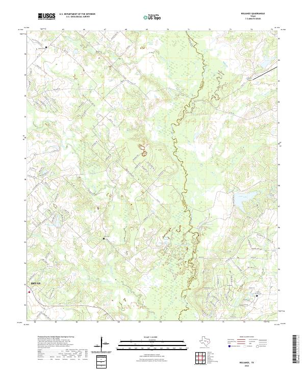
1959 Reliance
Brazos County, TX
1961 Mumford
Brazos County, TX
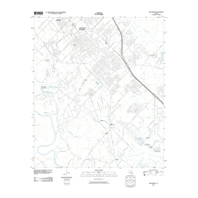
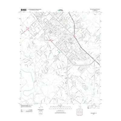
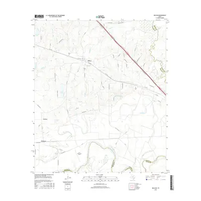
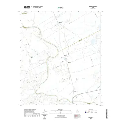
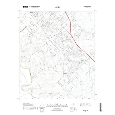
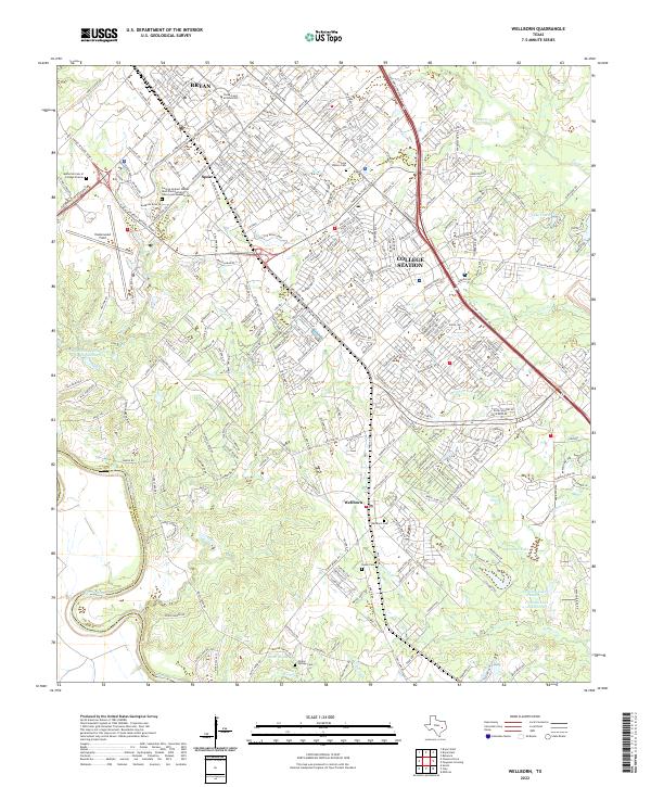
1961 Wellborn
Brazos County, TX
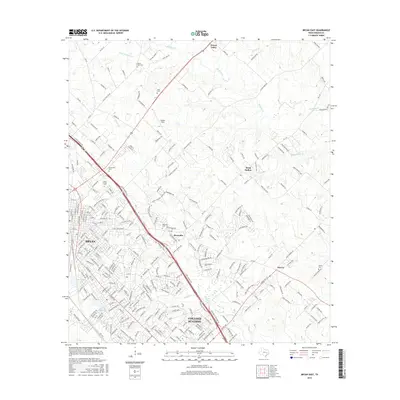
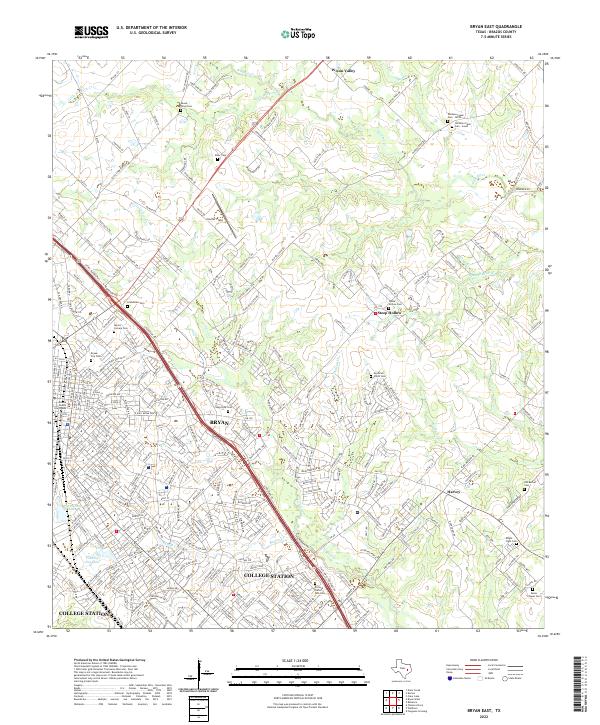
1962 Bryan East
Brazos County, TX
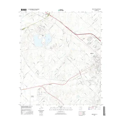
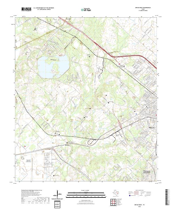
1962 Bryan West
Brazos County, TX
2010 Bryan East
Brazos County, TX
2010 Bryan West
Brazos County, TX
2010 Clear Lake
Brazos County, TX
2010 Ferguson Crossing
Brazos County, TX
2010 Millican
Brazos County, TX
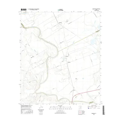
2010 Mumford
Brazos County, TX
2010 Reliance
Brazos County, TX
2010 Wellborn
Brazos County, TX
2013 Bryan East
Brazos County, TX

2013 Bryan West
Brazos County, TX
2013 Clear Lake
Brazos County, TX
2013 Ferguson Crossing
Brazos County, TX
2013 Millican
Brazos County, TX
2013 Mumford
Brazos County, TX
2013 Reliance
Brazos County, TX
2013 Wellborn
Brazos County, TX
2016 Bryan East
Brazos County, TX
2016 Bryan West
Brazos County, TX
2016 Clear Lake
Brazos County, TX
2016 Ferguson Crossing
Brazos County, TX
2016 Millican
Brazos County, TX
2016 Mumford
Brazos County, TX
2016 Reliance
Brazos County, TX
2016 Wellborn
Brazos County, TX
2019 Bryan East
Brazos County, TX
2019 Bryan West
Brazos County, TX
2019 Clear Lake
Brazos County, TX
2019 Ferguson Crossing
Brazos County, TX

2019 Millican
Brazos County, TX
2019 Mumford
Brazos County, TX
2019 Reliance
Brazos County, TX
2019 Wellborn
Brazos County, TX
2022 Bryan East
Brazos County, TX
2022 Bryan West
Brazos County, TX
2022 Clear Lake
Brazos County, TX
2022 Ferguson Crossing
Brazos County, TX
2022 Millican
Brazos County, TX
2022 Mumford
Brazos County, TX
2022 Reliance
Brazos County, TX
2022 Wellborn
Brazos County, TX