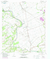
1961 Map of Mumford
USGS Topo · Published 1989About this map
Brazos River meanders define the border between Burleson and Robertson counties, shaping a landscape of fertile bottomlands and winding waterways. This 1961 record, with revisions through the 1980s, captures the agricultural character of the region, anchored by the settlement of Mumford and its proximity to the Southern Pacific railroad. The map preserves the location of Port Tenoxtitlan (Site), a significant early 19th-century military outpost and colony on the river's western bank.
Find a feature on this map
37 named features on this map. Tap any name to fly to it.
Don’t see what you’re looking for? This feature index may not catch every label — zoom into the map to look around manually.
Map Details
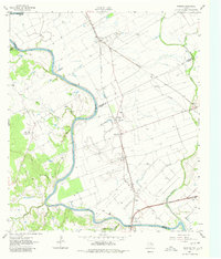
Editions of this 1961 Mumford Map
Other maps of this area

1954 · Austin
USGS Topo · 1:250,000

1956 · Bryan
USGS Topo · 1:62,500

1956 · Caldwell
USGS Topo · 1:62,500
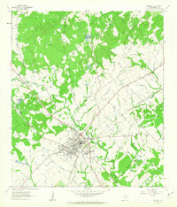
1961 · Caldwell
USGS Topo · 1:24,000

1961 · Mumford
USGS Topo · 1:24,000

1961 · Hearne South
USGS Topo · 1:24,000

1962 · Goodwill
USGS Topo · 1:24,000
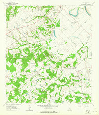
1962 · Tunis
USGS Topo · 1:24,000
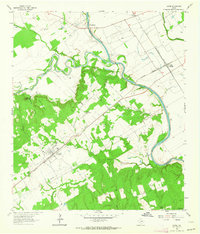
1962 · Gause
USGS Topo · 1:24,000
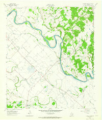
1962 · Chances Store
USGS Topo · 1:24,000