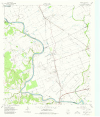
1961 Map of Mumford
USGS Topo · Published 1980About this map
The Brazos River carves a winding path through this central Texas landscape, marking the complex intersection of Milam, Robertson, Burleson, and Brazos counties. Along its banks, the map identifies the Fort Tenoxtitlan (Site), a significant military and colonial outpost established in the early 1830s to control immigration. By the early 1960s, the region’s economy is defined by the Southern Pacific and Missouri Pacific railroads, which support a string of small rural communities like Mumford, Astin, and Mudville. The fertile bottomlands are crisscrossed by drainage features such as Red Slough and Sims Slough, while local social life is anchored by country institutions including Salem Ch, New Hope Ch, and the Smith Sch. The presence of a Gravel Pit near Rita and scattered oil or water wells indicates the continued extraction of resources from the river valley.
Find a feature on this map
39 named features on this map. Tap any name to fly to it.
Don’t see what you’re looking for? This feature index may not catch every label — zoom into the map to look around manually.
Map Details
Editions of this 1961 Mumford Map
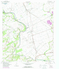
Other maps of this area

1954 · Austin
USGS Topo · 1:250,000

1956 · Bryan
USGS Topo · 1:62,500

1956 · Caldwell
USGS Topo · 1:62,500
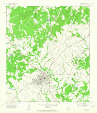
1961 · Caldwell
USGS Topo · 1:24,000

1961 · Mumford
USGS Topo · 1:24,000

1961 · Hearne South
USGS Topo · 1:24,000

1962 · Goodwill
USGS Topo · 1:24,000
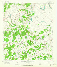
1962 · Tunis
USGS Topo · 1:24,000
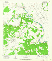
1962 · Gause
USGS Topo · 1:24,000
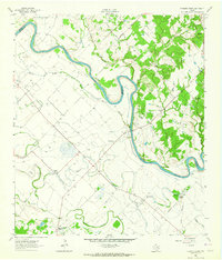
1962 · Chances Store
USGS Topo · 1:24,000