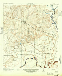
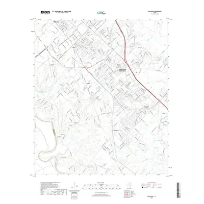
1913 Map of Millican
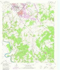
USGS Topo · Published 1949About this map
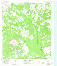
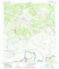
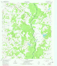
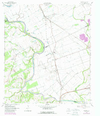
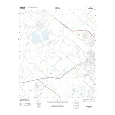
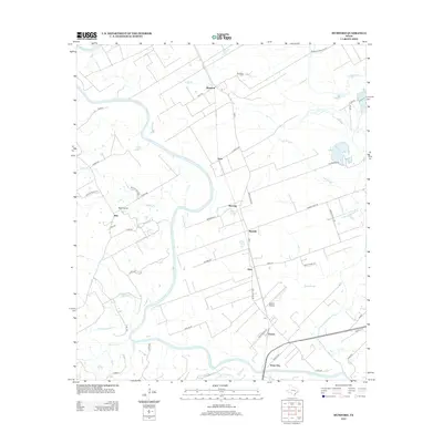
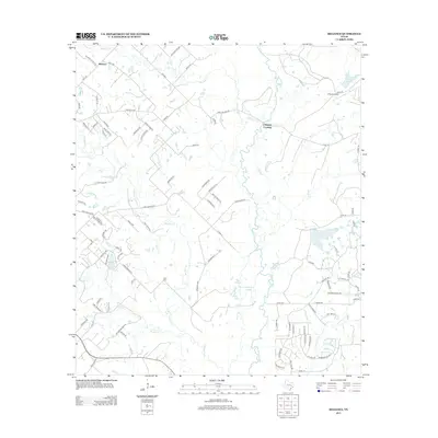
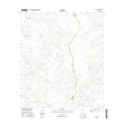
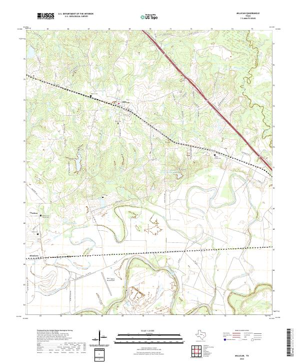
Millican serves as a central hub in this Brazos County landscape, defined by a complex intersection of early Texas rail lines and river systems. The town is situated at the junction of the Houston and Texas Central RR and the International and Great Northern RR (Fort Worth Division), reflecting its importance as a shipping point before the widespread adoption of modern highways. To the south and west, the fertile bottomlands of the Brazos River are divided into large agricultural holdings such as Steele Farm, Allen Farm, and Rogers Farm. Along the river's bend, Hidalgo Falls provides a significant landmark near the boundary with Washington County. The eastern portion of the survey is drained by the Navasota River, which marks the border with Grimes County, while smaller settlements like Nelleva and Dinkins appear along the rail corridors.
Find a feature on this map
26 named features on this map. Tap any name to fly to it.
Don’t see what you’re looking for? This feature index may not catch every label — zoom into the map to look around manually.
Map Details
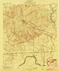
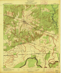
Editions of this 1913 Millican Map
3 editions found
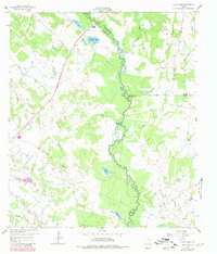
Historical Maps of Millican Through Time
49 maps found
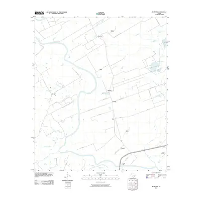
1913 Millican
Brazos County, TX
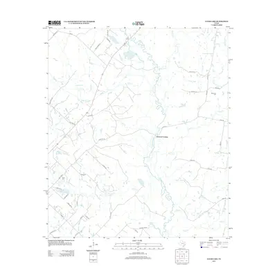
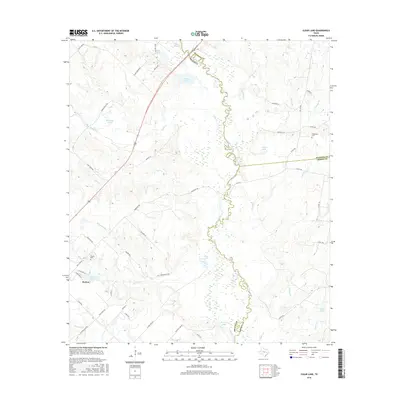
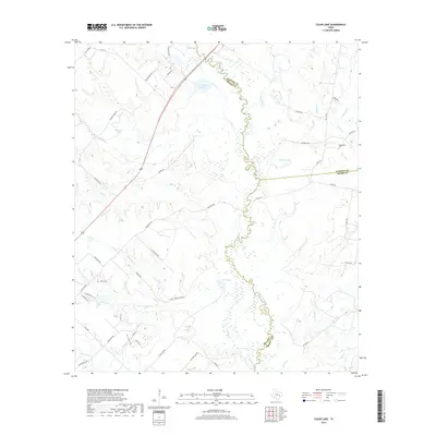
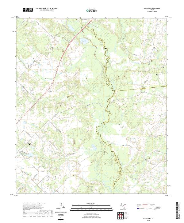
1959 Clear Lake
Brazos County, TX
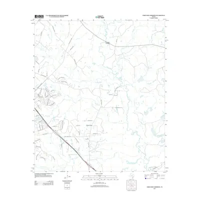
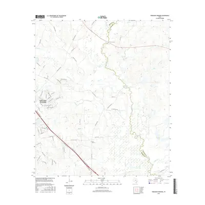
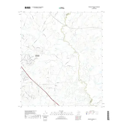
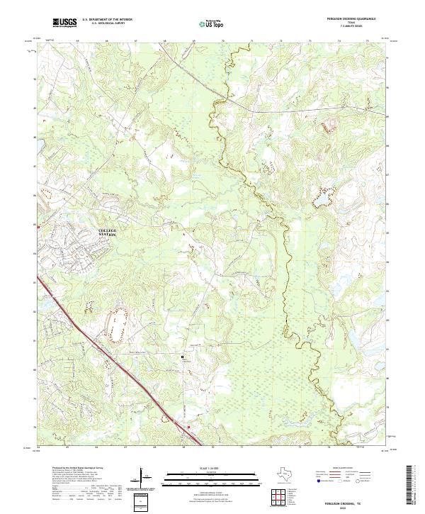
1959 Ferguson Crossing
Brazos County, TX
1959 Millican
Brazos County, TX
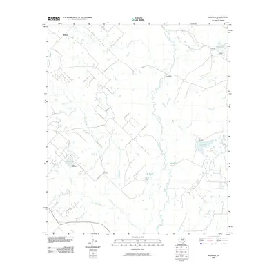
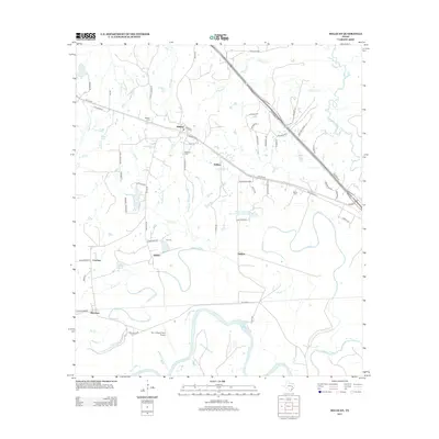
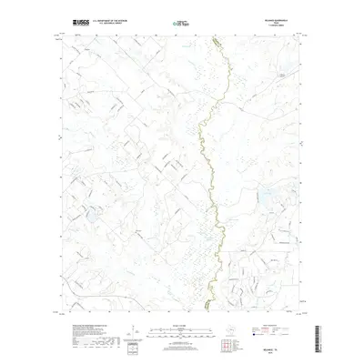
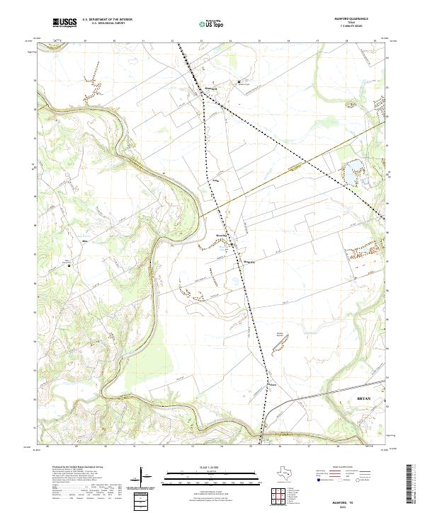
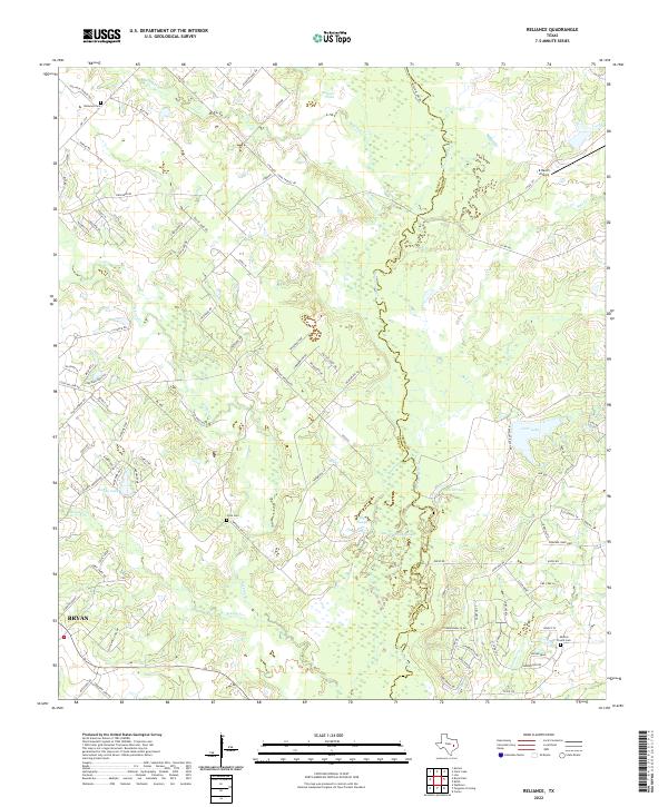
1959 Reliance
Brazos County, TX
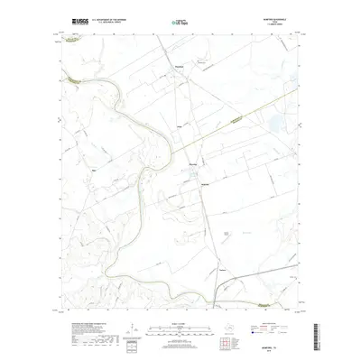
1961 Mumford
Brazos County, TX
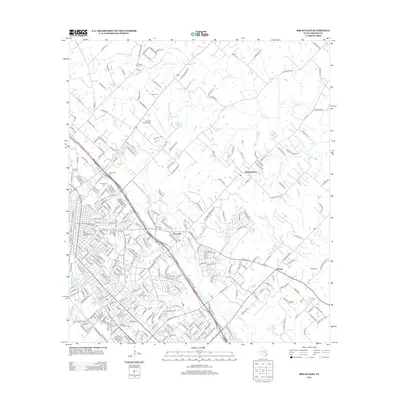
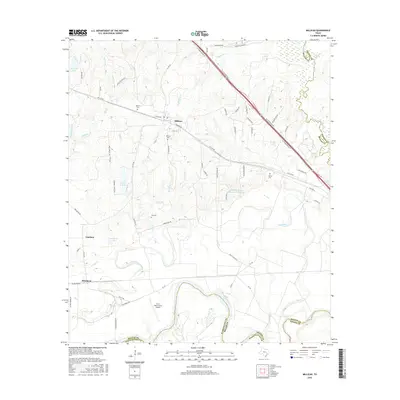
1961 Wellborn
Brazos County, TX
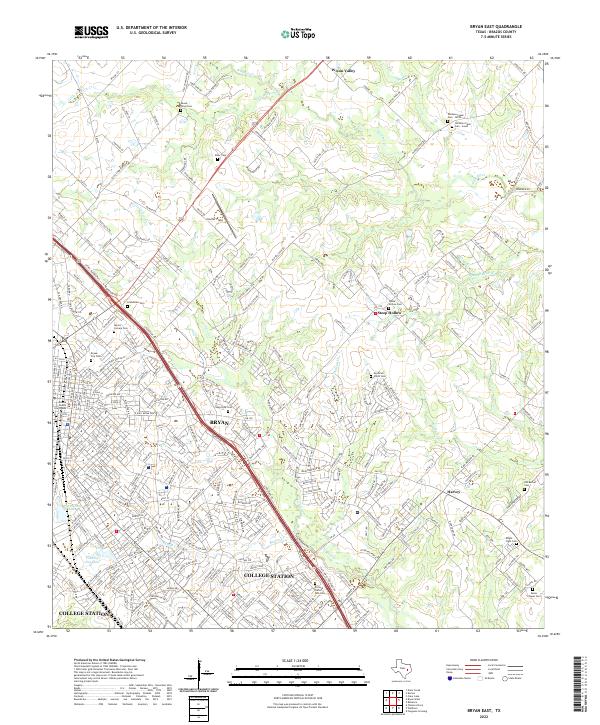
1962 Bryan East
Brazos County, TX
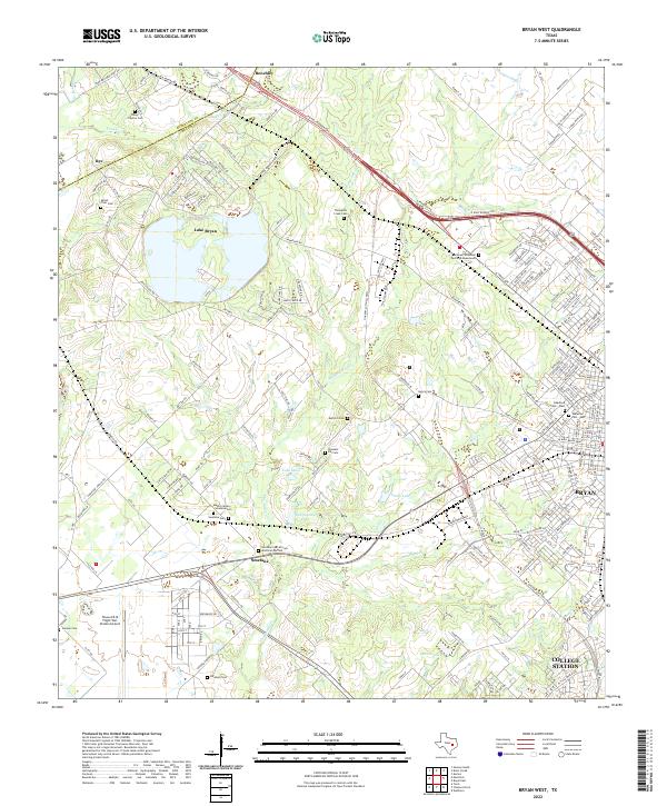
1962 Bryan West
Brazos County, TX
2010 Bryan East
Brazos County, TX
2010 Bryan West
Brazos County, TX
2010 Clear Lake
Brazos County, TX
2010 Ferguson Crossing
Brazos County, TX
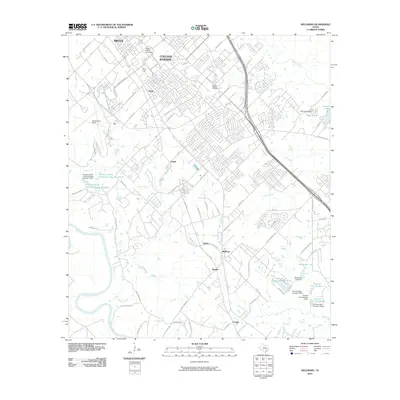
2010 Millican
Brazos County, TX
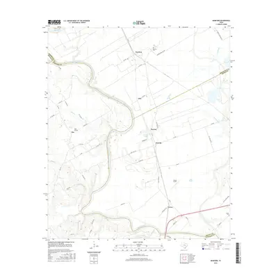
2010 Mumford
Brazos County, TX
2010 Reliance
Brazos County, TX
2010 Wellborn
Brazos County, TX
2013 Bryan East
Brazos County, TX

2013 Bryan West
Brazos County, TX
2013 Clear Lake
Brazos County, TX
2013 Ferguson Crossing
Brazos County, TX
2013 Millican
Brazos County, TX
2013 Mumford
Brazos County, TX
2013 Reliance
Brazos County, TX
2013 Wellborn
Brazos County, TX
2016 Bryan East
Brazos County, TX
2016 Bryan West
Brazos County, TX
2016 Clear Lake
Brazos County, TX
2016 Ferguson Crossing
Brazos County, TX
2016 Millican
Brazos County, TX
2016 Mumford
Brazos County, TX
2016 Reliance
Brazos County, TX
2016 Wellborn
Brazos County, TX
2019 Bryan East
Brazos County, TX
2019 Bryan West
Brazos County, TX
2019 Clear Lake
Brazos County, TX
2019 Ferguson Crossing
Brazos County, TX

2019 Millican
Brazos County, TX
2019 Mumford
Brazos County, TX
2019 Reliance
Brazos County, TX
2019 Wellborn
Brazos County, TX
2022 Bryan East
Brazos County, TX
2022 Bryan West
Brazos County, TX
2022 Clear Lake
Brazos County, TX
2022 Ferguson Crossing
Brazos County, TX
2022 Millican
Brazos County, TX
2022 Mumford
Brazos County, TX
2022 Reliance
Brazos County, TX
2022 Wellborn
Brazos County, TX