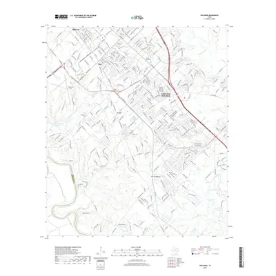
1913 Map of Millican
USGS Topo · Published 1913About this map
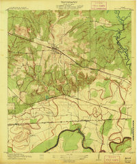
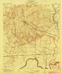
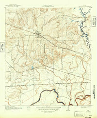
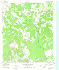
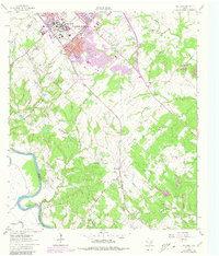
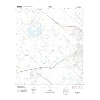
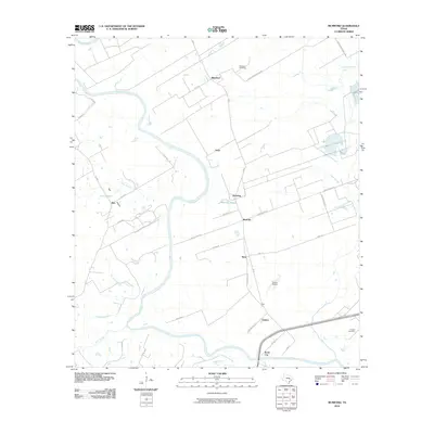
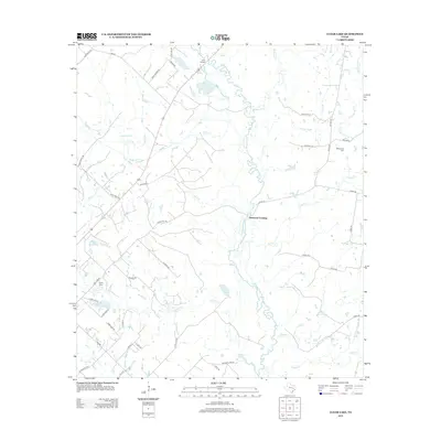
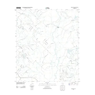
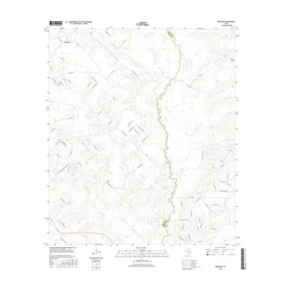
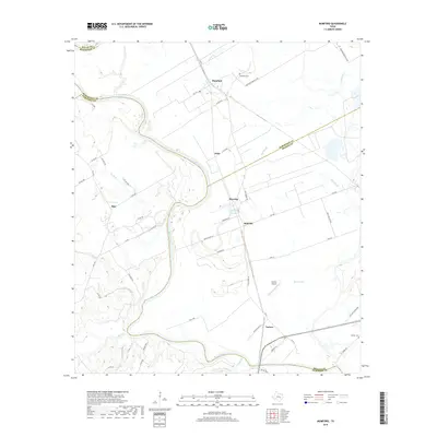
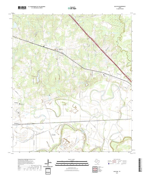
Millican serves as a central hub in this Brazos County landscape, where three major rail lines converge near the junction of the Brazos River and Navasota River. The map details a transition from the dissected uplands near Mill Cr and Upshur Creek to the broad, flat river bottoms dominated by large agricultural holdings such as Steele Farm, Allen Farm, and Rogers Farm. The engineering of the era is evident in the dense network of tracks, including the Houston and Texas Central R R and the Gulf Colorado and Santa Fe R R, which facilitated the movement of goods through small whistle-stops like Dallam and Harrington. A notable natural landmark, Hidalgo Falls, breaks the smooth course of the Brazos at the southwestern edge of the quadrangle.
Find a feature on this map
24 named features on this map. Tap any name to fly to it.
Don’t see what you’re looking for? This feature index may not catch every label — zoom into the map to look around manually.
Map Details
Editions of this 1913 Millican Map
3 editions found
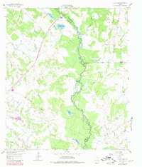
Historical Maps of Millican Through Time
49 maps found
1913 Millican
Brazos County, TX
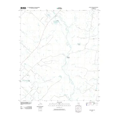
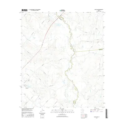
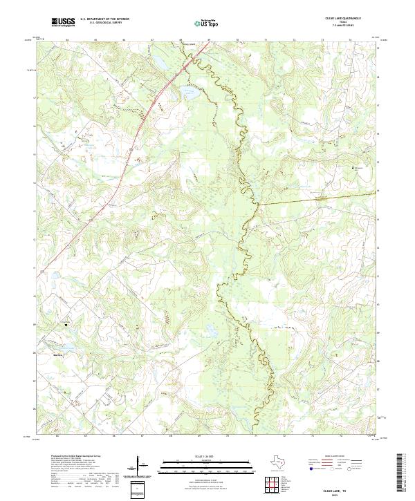
1959 Clear Lake
Brazos County, TX
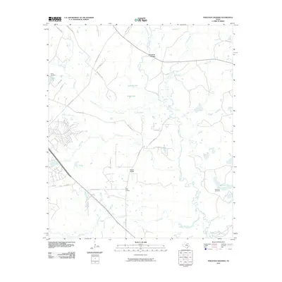
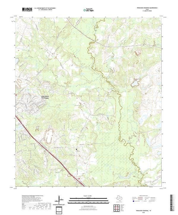
1959 Ferguson Crossing
Brazos County, TX
1959 Millican
Brazos County, TX
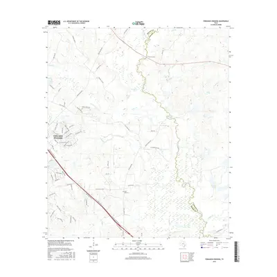
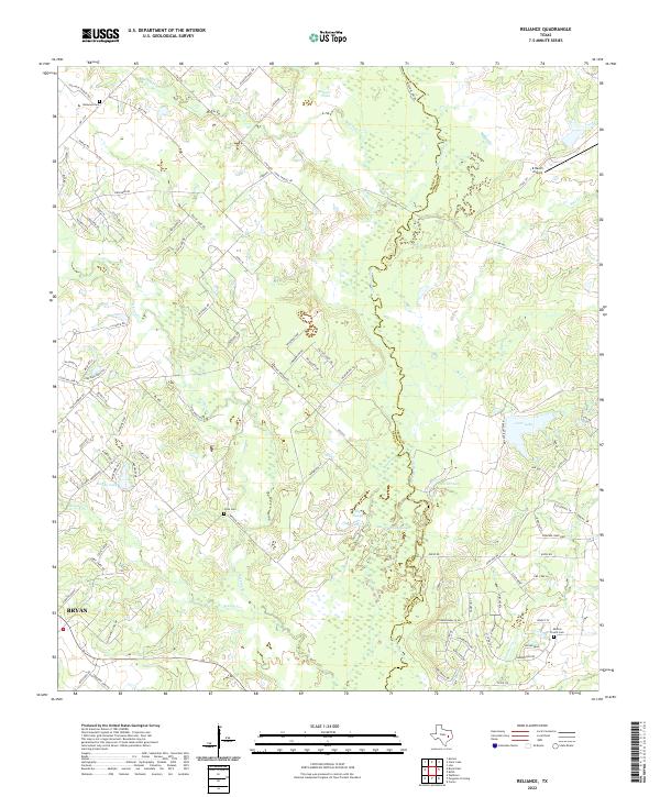
1959 Reliance
Brazos County, TX
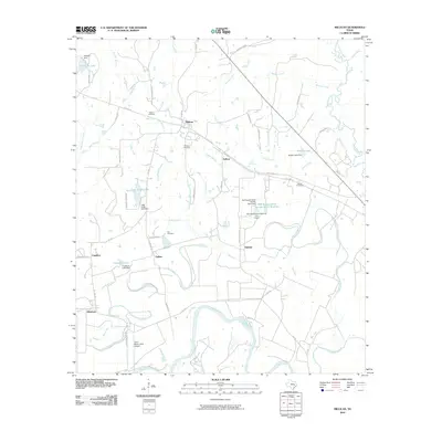
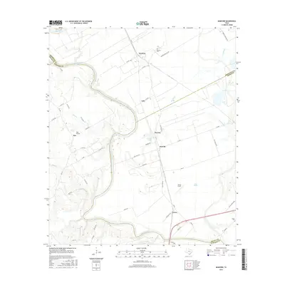
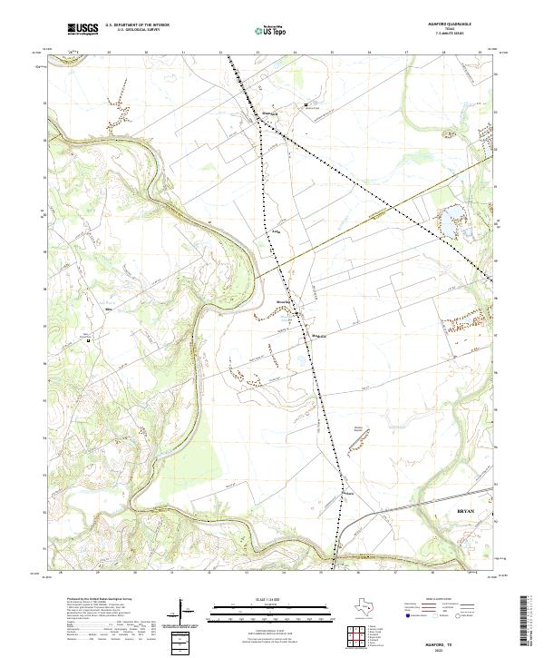
1961 Mumford
Brazos County, TX
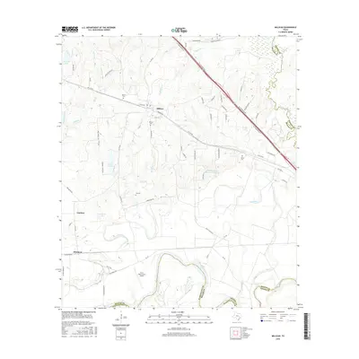
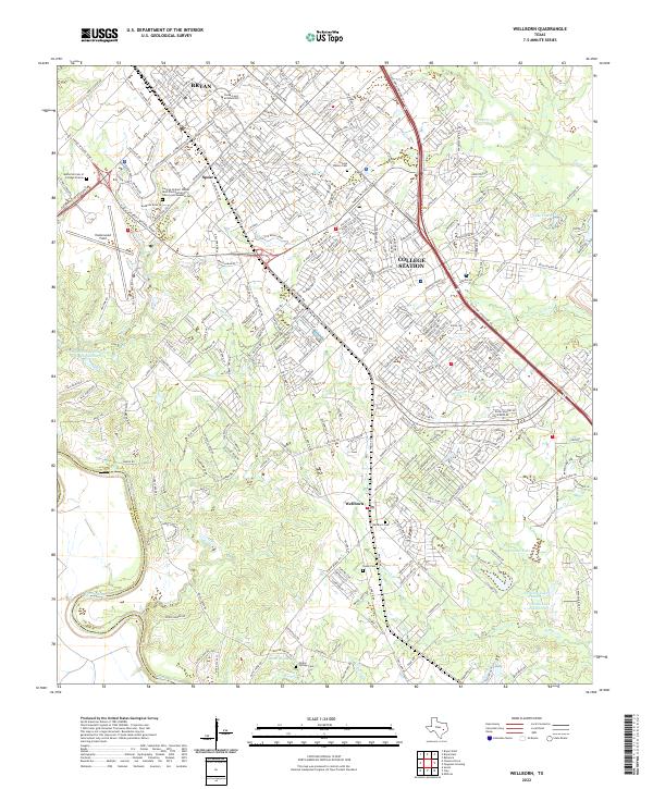
1961 Wellborn
Brazos County, TX
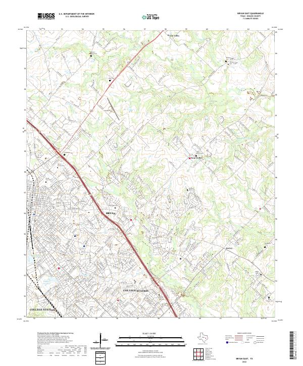
1962 Bryan East
Brazos County, TX
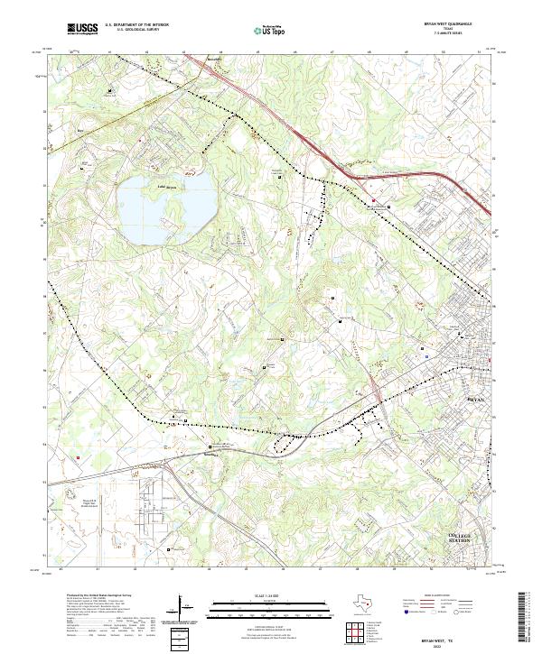
1962 Bryan West
Brazos County, TX
2010 Bryan East
Brazos County, TX
2010 Bryan West
Brazos County, TX
2010 Clear Lake
Brazos County, TX
2010 Ferguson Crossing
Brazos County, TX
2010 Millican
Brazos County, TX
2010 Mumford
Brazos County, TX
2010 Reliance
Brazos County, TX
2010 Wellborn
Brazos County, TX
2013 Bryan East
Brazos County, TX

2013 Bryan West
Brazos County, TX
2013 Clear Lake
Brazos County, TX
2013 Ferguson Crossing
Brazos County, TX
2013 Millican
Brazos County, TX
2013 Mumford
Brazos County, TX
2013 Reliance
Brazos County, TX
2013 Wellborn
Brazos County, TX
2016 Bryan East
Brazos County, TX
2016 Bryan West
Brazos County, TX
2016 Clear Lake
Brazos County, TX
2016 Ferguson Crossing
Brazos County, TX
2016 Millican
Brazos County, TX
2016 Mumford
Brazos County, TX
2016 Reliance
Brazos County, TX
2016 Wellborn
Brazos County, TX
2019 Bryan East
Brazos County, TX
2019 Bryan West
Brazos County, TX
2019 Clear Lake
Brazos County, TX
2019 Ferguson Crossing
Brazos County, TX

2019 Millican
Brazos County, TX
2019 Mumford
Brazos County, TX
2019 Reliance
Brazos County, TX
2019 Wellborn
Brazos County, TX
2022 Bryan East
Brazos County, TX
2022 Bryan West
Brazos County, TX
2022 Clear Lake
Brazos County, TX
2022 Ferguson Crossing
Brazos County, TX
2022 Millican
Brazos County, TX
2022 Mumford
Brazos County, TX
2022 Reliance
Brazos County, TX
2022 Wellborn
Brazos County, TX