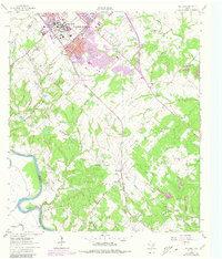
1961 Map of Wellborn
USGS Topo · Published 1980About this map
The campus of Texas A & M University anchors this study of Brazos County, showing the institution's mid-century footprint including iconic landmarks like Kyle Field, the Coliseum, and the Athletic Field. The map captures the southern expansion of College Station and Bryan, where the residential grid meets the open agricultural and river-bottom lands to the south. Transportation is defined by the Southern Pacific line, which parallels the highway through the small settlements of Wellborn, Royder, and Enright.
Find a feature on this map
55 named features on this map. Tap any name to fly to it.
Don’t see what you’re looking for? This feature index may not catch every label — zoom into the map to look around manually.
Map Details
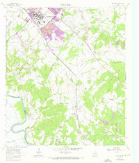
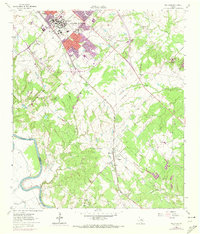
Editions of this 1961 Wellborn Map
4 editions found

Other maps of this area

1913 · Millican
USGS Topo · 1:31,680

1914 · Gay Hill
USGS Topo · 1:62,500

1914 · Navasota
USGS Topo · 1:62,500

1954 · Austin
USGS Topo · 1:250,000

1956 · Bryan
USGS Topo · 1:62,500

1956 · Carlos
USGS Topo · 1:62,500

1959 · Millican
USGS Topo · 1:24,000

1959 · Clay
USGS Topo · 1:24,000

1959 · Reliance
USGS Topo · 1:24,000

1959 · Ferguson Crossing
USGS Topo · 1:24,000