
1959 Map of Reliance
USGS Topo · Published 1960About this map
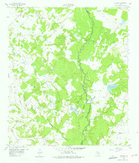
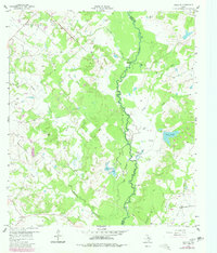
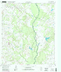
The Navasota River meanders through the central corridor of this landscape, forming the natural boundary between Brazos and Grimes counties. In the late 1950s, this area was characterized by a mosaic of wooded bottomlands and agricultural clearings, with the river creating distinct water features like the oxbow-shaped Fishhook Slough, Stewart Lake, and Flat Pond. Historically significant landmarks for local researchers include Channey Crossing and the Martin Prairie Ch located in the southeastern quadrant.
Find a feature on this map
22 named features on this map. Tap any name to fly to it.
Don’t see what you’re looking for? This feature index may not catch every label — zoom into the map to look around manually.
Map Details
Editions of this 1959 Reliance Map
4 editions found
Other maps of this area

1931 · Iola
USGS Topo · 1:62,500

1954 · Austin
USGS Topo · 1:250,000

1956 · Bryan
USGS Topo · 1:62,500

1956 · Carlos
USGS Topo · 1:62,500

1959 · Clear Lake
USGS Topo · 1:24,000

1959 · Ferguson Crossing
USGS Topo · 1:24,000

1960 · Carlos
USGS Topo · 1:24,000

1961 · Wellborn
USGS Topo · 1:24,000

1962 · Keith
USGS Topo · 1:24,000

1962 · Bryan East
USGS Topo · 1:24,000