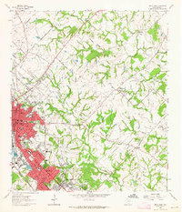
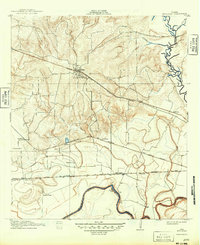
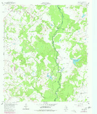
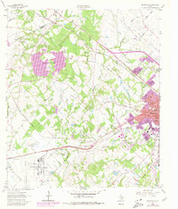
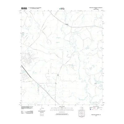
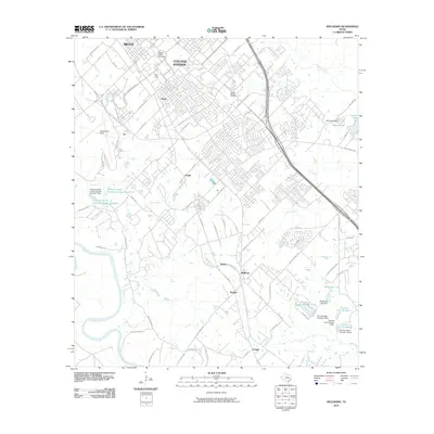
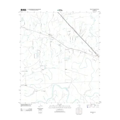
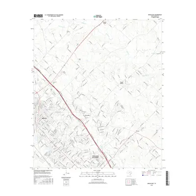
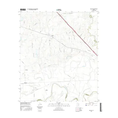
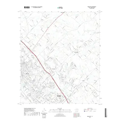
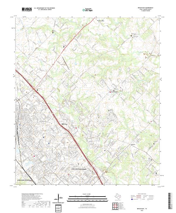
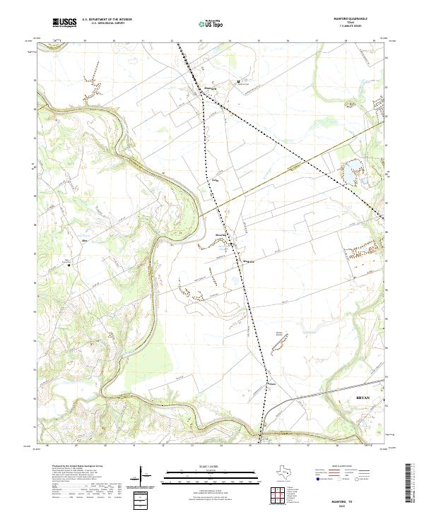
1962 Map of Bryan East
USGS Topo · Published 1964About this map
The burgeoning municipalities of Bryan and College Station serve as the focal points for this early 1960s study of Brazos County. This era captures the transition of the region from a purely rural agricultural landscape toward suburban expansion, evidenced by the development of the Townshire Shopping Center and Ridgecrest Shopping Center alongside older institutional landmarks like the Allen Academy and Washington Sch.
Find a feature on this map
73 named features on this map. Tap any name to fly to it.
Don’t see what you’re looking for? This feature index may not catch every label — zoom into the map to look around manually.
Map Details
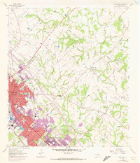
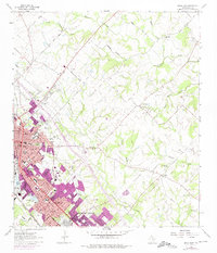
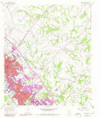
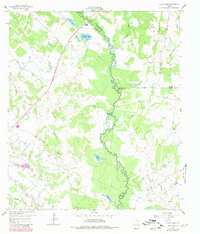
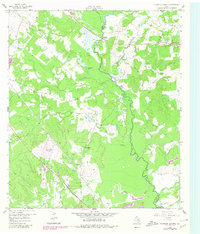
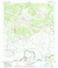
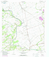
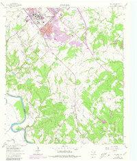
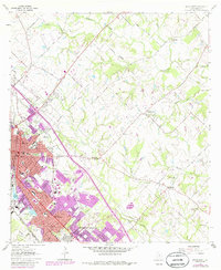
Editions of this 1962 Bryan East Map
5 editions found
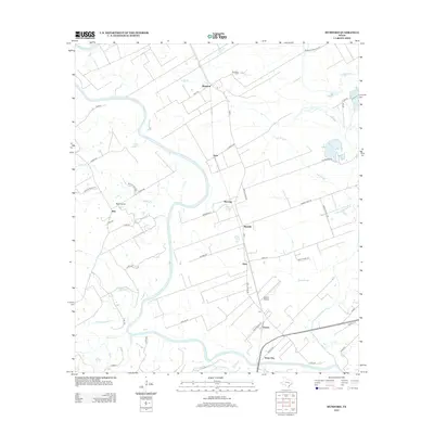
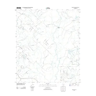
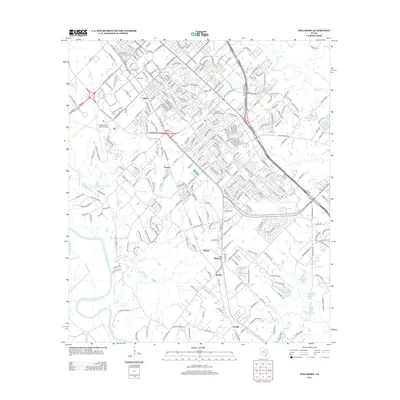
Historical Maps of College Station Through Time
49 maps found
1913 Millican
Brazos County, TX
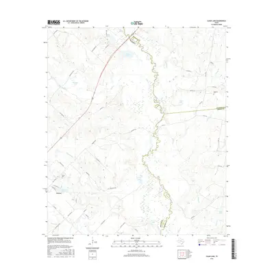
1959 Clear Lake
Brazos County, TX
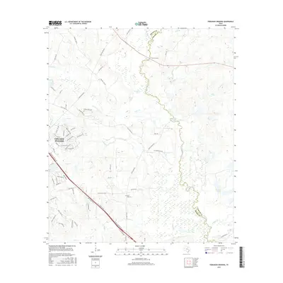
1959 Ferguson Crossing
Brazos County, TX
1959 Millican
Brazos County, TX
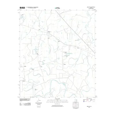
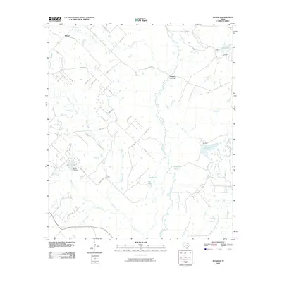
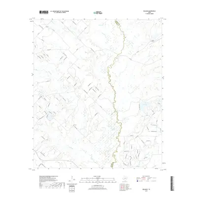
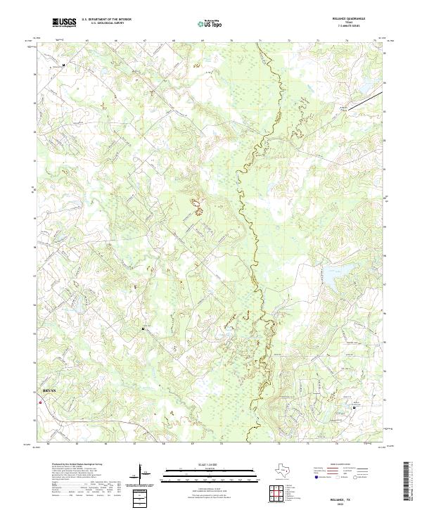
1959 Reliance
Brazos County, TX
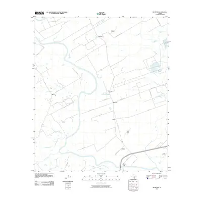
1961 Mumford
Brazos County, TX
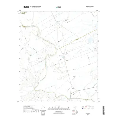
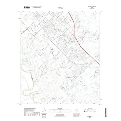
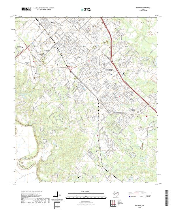
1961 Wellborn
Brazos County, TX
1962 Bryan East
Brazos County, TX
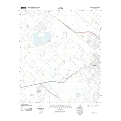
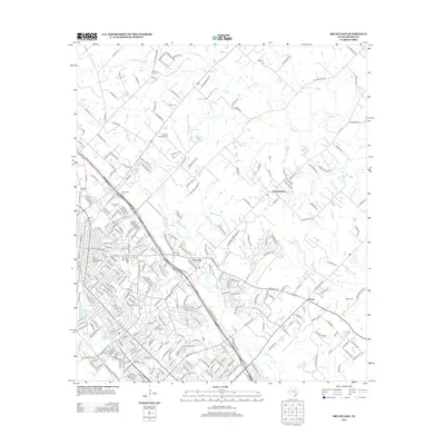
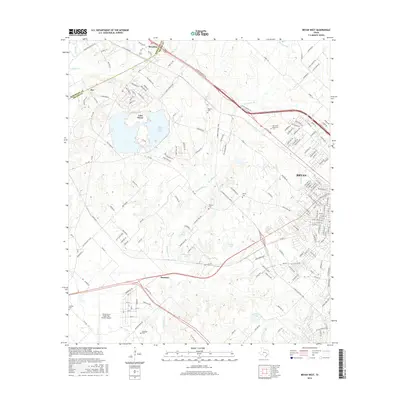
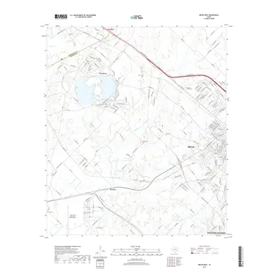
1962 Bryan West
Brazos County, TX
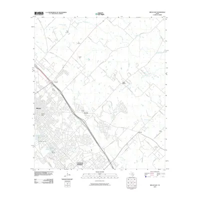
2010 Bryan East
Brazos County, TX
2010 Bryan West
Brazos County, TX
2010 Clear Lake
Brazos County, TX
2010 Ferguson Crossing
Brazos County, TX
2010 Millican
Brazos County, TX
2010 Mumford
Brazos County, TX
2010 Reliance
Brazos County, TX
2010 Wellborn
Brazos County, TX
2013 Bryan East
Brazos County, TX

2013 Bryan West
Brazos County, TX
2013 Clear Lake
Brazos County, TX
2013 Ferguson Crossing
Brazos County, TX
2013 Millican
Brazos County, TX
2013 Mumford
Brazos County, TX
2013 Reliance
Brazos County, TX
2013 Wellborn
Brazos County, TX
2016 Bryan East
Brazos County, TX
2016 Bryan West
Brazos County, TX
2016 Clear Lake
Brazos County, TX
2016 Ferguson Crossing
Brazos County, TX
2016 Millican
Brazos County, TX
2016 Mumford
Brazos County, TX
2016 Reliance
Brazos County, TX
2016 Wellborn
Brazos County, TX
2019 Bryan East
Brazos County, TX
2019 Bryan West
Brazos County, TX
2019 Clear Lake
Brazos County, TX
2019 Ferguson Crossing
Brazos County, TX

2019 Millican
Brazos County, TX
2019 Mumford
Brazos County, TX
2019 Reliance
Brazos County, TX
2019 Wellborn
Brazos County, TX
2022 Bryan East
Brazos County, TX
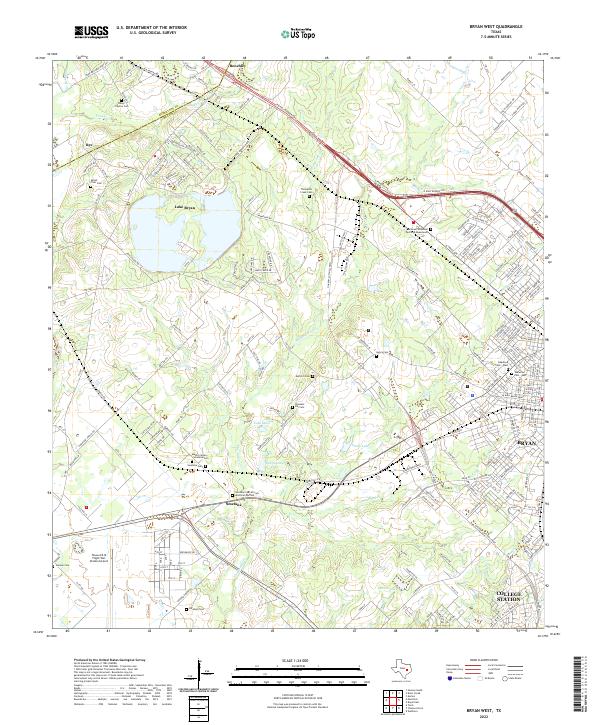
2022 Bryan West
Brazos County, TX
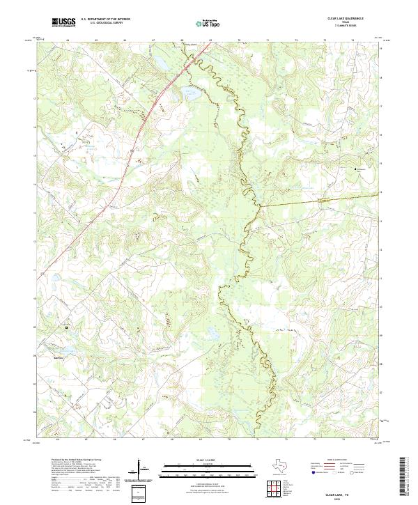
2022 Clear Lake
Brazos County, TX
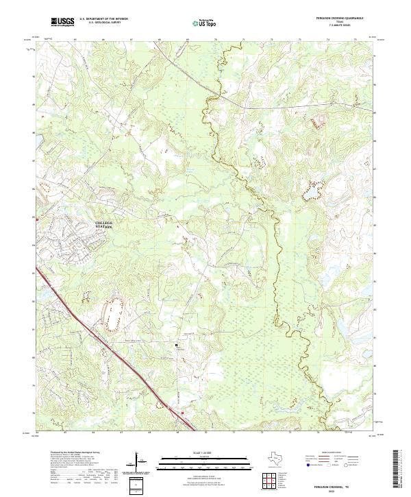
2022 Ferguson Crossing
Brazos County, TX
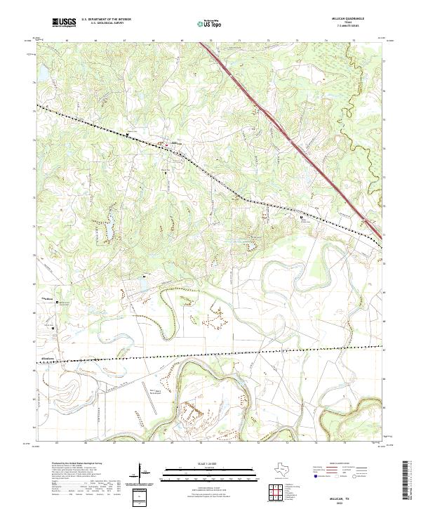
2022 Millican
Brazos County, TX
2022 Mumford
Brazos County, TX
2022 Reliance
Brazos County, TX
2022 Wellborn
Brazos County, TX