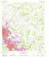
1962 Map of Bryan East
USGS Topo · Published 1980About this map
Bryan and College Station reveal a period of rapid mid-century expansion in this Brazos County study, where urban growth is clearly visible in the purple-tinted revisions. The landscape is defined by the convergence of the Missouri Pacific and Southern Pacific railroads, which helped anchor the development of landmarks like Coulter Field and several shopping centers including Townshire Shopping Center and Ridgecrest Shopping Center. Beyond the municipal boundaries, the rural character remains intact with small settlements like Boonville and Steep Hollow. Numerous community focal points are documented, ranging from the Mt Calvary Cem to rural congregations such as Macedonia Ch and Koons Chapel. The hydrology of the area is led by Wickson Creek and Carters Creek, winding through a terrain dotted with family-named infrastructure like Dilly Shaw Road and Carrabba Road.
Find a feature on this map
79 named features on this map. Tap any name to fly to it.
Don’t see what you’re looking for? This feature index may not catch every label — zoom into the map to look around manually.
Map Details
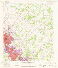
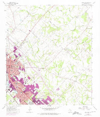
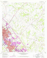
Editions of this 1962 Bryan East Map
5 editions found
Other maps of this area

1931 · Iola
USGS Topo · 1:62,500

1954 · Austin
USGS Topo · 1:250,000

1956 · Bryan
USGS Topo · 1:62,500

1956 · Carlos
USGS Topo · 1:62,500

1959 · Clear Lake
USGS Topo · 1:24,000

1959 · Reliance
USGS Topo · 1:24,000

1959 · Ferguson Crossing
USGS Topo · 1:24,000

1961 · Wellborn
USGS Topo · 1:24,000
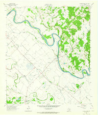
1962 · Chances Store
USGS Topo · 1:24,000

1962 · Bryan East
USGS Topo · 1:24,000