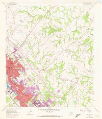
1962 Map of Bryan East
USGS Topo · Published 1973About this map
Bryan and College Station undergo significant expansion in the early 1960s, a transformation captured through traditional topography and later purple-ink photorevisions. The transition from rural Brazos County to an urbanizing educational and transit hub is evident in the alignment of the Southern Pacific and Missouri Pacific railroads, which parallel the growth of new residential districts. Beyond the city limits, a network of family-named roads like Carrabba Road and Merka Road lead into a landscape dotted with historical markers of early settlement, including Boonville Cem and Kizer Cem.
Find a feature on this map
66 named features on this map. Tap any name to fly to it.
Don’t see what you’re looking for? This feature index may not catch every label — zoom into the map to look around manually.
Map Details
Editions of this 1962 Bryan East Map
5 editions found
Other maps of this area

1931 · Iola
USGS Topo · 1:62,500

1954 · Austin
USGS Topo · 1:250,000

1956 · Bryan
USGS Topo · 1:62,500

1956 · Carlos
USGS Topo · 1:62,500

1959 · Clear Lake
USGS Topo · 1:24,000

1959 · Reliance
USGS Topo · 1:24,000

1959 · Ferguson Crossing
USGS Topo · 1:24,000

1961 · Wellborn
USGS Topo · 1:24,000
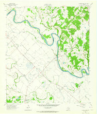
1962 · Chances Store
USGS Topo · 1:24,000

1962 · Bryan East
USGS Topo · 1:24,000