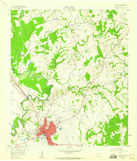
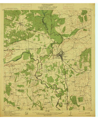
1958 Map of Navasota
USGS Topo · Published 1960About this map
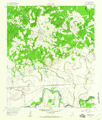
Navasota serves as a major rail hub in the late 1950s, where the Texas and New Orleans, Missouri Pacific, and Gulf Colorado and Santa Fe (AT & SF) lines converge near the town's center. This intersection reflects the historic importance of the junction for both Brazos and Grimes counties, situated just east of the Navasota River. The landscape is a mix of agricultural clearings and wooded creek bottoms, including Holland Creek and Spring Creek, punctuated by small rural settlements like Erwin and Holland. For genealogists, the map is particularly rich in family and community burial sites, from the large Oakland Cemetery to the smaller Berryman Cem and Odd Fellows Cem. Rural life is further documented by the presence of landmarks like St John Ch, Salem Missionary Ch, and the local Country Club.
Find a feature on this map
37 named features on this map. Tap any name to fly to it.
Don’t see what you’re looking for? This feature index may not catch every label — zoom into the map to look around manually.
Map Details
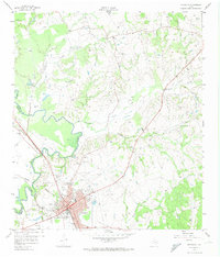
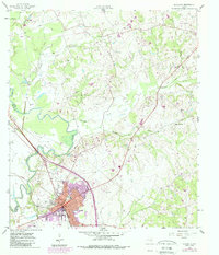
Editions of this 1958 Navasota Map
3 editions found
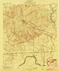
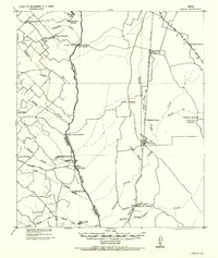
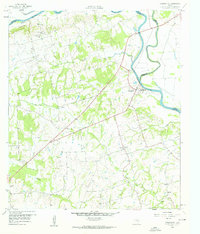
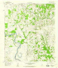
Other maps of this area
1913 · Millican
USGS Topo · 1:31,680
1914 · Navasota
USGS Topo · 1:62,500

1954 · Beaumont
USGS Topo · 1:250,000

1954 · Austin
USGS Topo · 1:250,000
1956 · Carlos
USGS Topo · 1:62,500

1957 · Beaumont
USGS Topo · 1:250,000
1958 · Washington
USGS Topo · 1:24,000
1958 · Courtney
USGS Topo · 1:24,000
1959 · Millican
USGS Topo · 1:24,000
1959 · Ferguson Crossing
USGS Topo · 1:24,000