
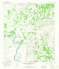
1958 Map of Courtney
USGS Topo · Published 1960About this map
The winding Brazos River forms a sharp boundary between Grimes and Washington Counties, its serpentine path defining the fertile bottomlands of Sand Prairie and Beans Prairie. At the time of this 1958 survey, the area south of Navasota was a hub of rail infrastructure, where the Texas and New Orleans and the Gulf Colorado and Santa Fe railroads crisscross the landscape. The settlement of Courtney serves as a focal point near the river, supported by surrounding rural communities like Lynn Grove and West Academy. Genealogical interest is found in the scattered rural landmarks, including the Sand Prairie Cem, Sommerford Cem, and local congregations at Paul Chapel and Mercy Seat Ch. The transition from riverbed to upland is marked by an Artesian Well and several Gas Wells, indicating the mid-century industrial footprint alongside traditional agriculture.
Find a feature on this map
32 named features on this map. Tap any name to fly to it.
Don’t see what you’re looking for? This feature index may not catch every label — zoom into the map to look around manually.
Map Details
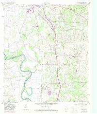
Editions of this 1958 Courtney Map
3 editions found
Other maps of this area

1913 · Millican
USGS Topo · 1:31,680

1914 · Navasota
USGS Topo · 1:62,500

1954 · Beaumont
USGS Topo · 1:250,000

1954 · Austin
USGS Topo · 1:250,000

1956 · Hempstead
USGS Topo · 1:62,500

1957 · Beaumont
USGS Topo · 1:250,000

1958 · Washington
USGS Topo · 1:24,000

1958 · Navasota
USGS Topo · 1:24,000

1959 · Millican
USGS Topo · 1:24,000

1960 · Waller NW
USGS Topo · 1:24,000