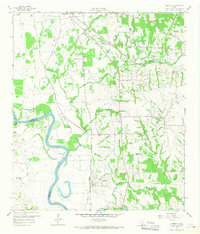
1958 Map of Courtney
USGS Topo · Published 1968About this map
The Brazos River forms a winding western boundary for this portion of Grimes County, defining a landscape of low-lying prairies and seasonal creek drainages. During the late 1950s, the area's economy was anchored by a complex network of rail lines, including the Texas and New Orleans RR and the Gulf Colorado and Santa Fee RR, which converge near the southern edge of Navasota. This transportation hub supported rural settlements like Courtney and West Academy, while the presence of a Drive-in Theater and the Country Club Golf Course reflects the mid-century social life of the region.
Find a feature on this map
34 named features on this map. Tap any name to fly to it.
Don’t see what you’re looking for? This feature index may not catch every label — zoom into the map to look around manually.
Map Details
Editions of this 1958 Courtney Map
3 editions found
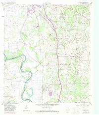
Other maps of this area

1913 · Millican
USGS Topo · 1:31,680

1914 · Navasota
USGS Topo · 1:62,500

1954 · Beaumont
USGS Topo · 1:250,000

1954 · Austin
USGS Topo · 1:250,000

1956 · Hempstead
USGS Topo · 1:62,500

1957 · Beaumont
USGS Topo · 1:250,000

1958 · Washington
USGS Topo · 1:24,000

1958 · Navasota
USGS Topo · 1:24,000

1958 · Courtney
USGS Topo · 1:24,000

1959 · Millican
USGS Topo · 1:24,000