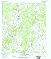
1961 Map of Singleton
USGS Topo · Published 1987About this map
The settlement of Singleton serves as the focal point for this Grimes County landscape in the early 1960s, situated at the junction of significant regional infrastructure. The Chicago Rock Island and Pacific Railroad and the Fort Worth and Denver Railroad cut diagonally through the terrain, illustrating the importance of rail transit for this part of East Texas. The landscape is heavily defined by its drainage systems, including South Bedias Creek to the north and Sulphur Creek to the south, with the small community of Independence and Zion (Ch) providing social anchors for the rural population.
Find a feature on this map
15 named features on this map. Tap any name to fly to it.
Don’t see what you’re looking for? This feature index may not catch every label — zoom into the map to look around manually.
Map Details
Editions of this 1961 Singleton Map
2 editions found
Other maps of this area

1931 · Iola
USGS Topo · 1:62,500

1954 · Beaumont
USGS Topo · 1:250,000

1954 · Austin
USGS Topo · 1:250,000

1956 · Carlos
USGS Topo · 1:62,500

1957 · Beaumont
USGS Topo · 1:250,000

1960 · Carlos
USGS Topo · 1:24,000

1961 · Singleton
USGS Topo · 1:24,000

1962 · Keith
USGS Topo · 1:24,000

1962 · Richards
USGS Topo · 1:24,000
1962 · Roans Prairie
USGS Topo · 1:24,000