
1962 Map of Richards
USGS Topo · Published 1964About this map
Richards serves as the central hub of this survey where the Fort Worth and Denver and Chicago Rock Island and Pacific railroads intersect. This rail junction is the primary focus of the local economy, supported by a High Sch and a Pumping Sta located within the town limits. The surrounding landscape transitions from the dense timber of the Sam Houston National Forest in the east to more open terrain dotted with local family landmarks and burial sites.
Find a feature on this map
28 named features on this map. Tap any name to fly to it.
Don’t see what you’re looking for? This feature index may not catch every label — zoom into the map to look around manually.
Map Details
Editions of this 1962 Richards Map
This is the sole edition of this map. No revisions or reprints were ever made.
Other maps of this area

1954 · Beaumont
USGS Topo · 1:250,000

1957 · Beaumont
USGS Topo · 1:250,000

1959 · San Jacinto
USGS Topo · 1:24,000

1959 · Montgomery
USGS Topo · 1:24,000

1961 · Anderson
USGS Topo · 1:24,000

1961 · Singleton
USGS Topo · 1:24,000

1962 · Dacus
USGS Topo · 1:24,000
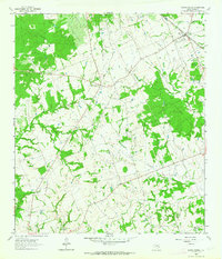
1962 · Roans Prairie
USGS Topo · 1:24,000

1962 · Galilee
USGS Topo · 1:24,000
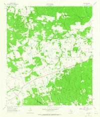
1963 · Loma
USGS Topo · 1:24,000