
1959 Map of Montgomery
USGS Topo · Published 1960About this map
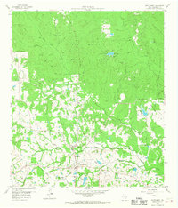
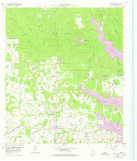
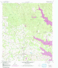
The town of Montgomery serves as the focal point for this 1959 survey, situated at the intersection of the Gulf Colorado and Santa Fe railroad and several primary roads. The surrounding landscape is defined by the dense woodlands of the Sam Houston National Forest to the north and east, where an Old Railroad Grade and several creeks, such as Sand Branch and Little Lake Creek, carve through the timberland.
Find a feature on this map
41 named features on this map. Tap any name to fly to it.
Don’t see what you’re looking for? This feature index may not catch every label — zoom into the map to look around manually.
Map Details
Editions of this 1959 Montgomery Map
4 editions found
Other maps of this area

1954 · Beaumont
USGS Topo · 1:250,000

1957 · Beaumont
USGS Topo · 1:250,000

1958 · Cowl Spur
USGS Topo · 1:24,000

1958 · Lake Paula
USGS Topo · 1:24,000

1959 · Moore Grove
USGS Topo · 1:24,000

1959 · San Jacinto
USGS Topo · 1:24,000

1962 · Keenan
USGS Topo · 1:24,000

1962 · Dacus
USGS Topo · 1:24,000

1962 · Plantersville
USGS Topo · 1:24,000

1962 · Richards
USGS Topo · 1:24,000