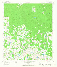
1959 Map of Montgomery
USGS Topo · Published 1968About this map
Montgomery sits at a historic crossroads in southeastern Texas, bordered to the north by the dense woodlands of the Sam Houston National Forest. This 1959 field-checked survey reveals a landscape transitioning from rural settlement to modern infrastructure, where family-named landmarks and country institutions define the community. The Gulf Colorado and Santa Fe railroad line cuts through the southern terrain, connecting points like Peel Junction to the wider region. Local life centers around several spiritual and educational anchors, including China Chapel, Mt Pleasant Ch, and Lincoln Sch. The map also preserves the locations of numerous water features such as Stewart Lake, Atkins Creek, and Rampy Lake, which drain the rolling terrain south of Scott Ridge. To the northwest, an Old Railroad Grade serves as a silent reminder of earlier timber or transit corridors that once penetrated the forest near Little Lake Creek.
Find a feature on this map
38 named features on this map. Tap any name to fly to it.
Don’t see what you’re looking for? This feature index may not catch every label — zoom into the map to look around manually.
Map Details
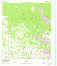
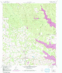
Editions of this 1959 Montgomery Map
4 editions found
Other maps of this area

1954 · Beaumont
USGS Topo · 1:250,000

1957 · Beaumont
USGS Topo · 1:250,000

1958 · Cowl Spur
USGS Topo · 1:24,000

1958 · Lake Paula
USGS Topo · 1:24,000

1959 · Moore Grove
USGS Topo · 1:24,000

1959 · San Jacinto
USGS Topo · 1:24,000

1959 · Montgomery
USGS Topo · 1:24,000

1962 · Keenan
USGS Topo · 1:24,000

1962 · Dacus
USGS Topo · 1:24,000

1962 · Plantersville
USGS Topo · 1:24,000