Old Maps of Reliance, Texas for Genealogy
Trace your family roots with 9 historic maps of Reliance. These high-res maps reveal old neighborhoods, homesites, landmarks, and streets — helping you uncover where your ancestors lived and how the area evolved over time.
- Explore historic neighborhoods: Identify where your relatives may have lived in the 1800s or 1900s.
- Compare maps over time: Trace the changes in streets, buildings, and landmarks for multi-generational research.
- Perfect for genealogy & ancestry research: Used by family historians and researchers to map out lineage and migration.
These maps are an incredible resource for exploring your personal connection to Reliance's past.
Reliance, TX maps
(9)- 1954 Map of Austin, 1964 Print
 1954 Austin1964 Print · USGSCentral Texas is captured during a period of steady growth as the capital city and its neighboring farm towns began to modernize. Researchers can trace historic rail corridors like the Southern Pacific RR or locate landmarks such as Bergstrom Air Force Base and Pilot Knob.4 unique versions available
 - 1956 Map of Carlos
 1956 Carlos1956 Print · USGSGrimes and Brazos counties appear here in a transition from military to civil use, mapping the rural landscape along the Navasota River. Genealogists and historians can trace early schoolhouses like Independence S.H. and vanished rail sidings such as Grimes Switch.
 - 1959 Map of Reliance, 1960 Print
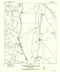
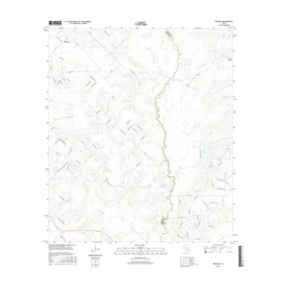
 1959 Reliance1960 Print · USGSBrazos and Grimes counties meet along the winding river bottomlands in the late fifties. Genealogists and local historians can trace the rural communities of Reliance and Harvey or locate the Stick Cem and Martin Prairie Ch.4 unique versions available
 - 1993 Map of Bryan
 1993 Bryan1993 Print · USGSBrazos Valley life in the early nineties centered on the rapid growth of College Station and the agricultural heartbeat of the river bottomlands. Genealogists and historians can trace the paths of the Kings Highway, several rail lines, and local landmarks like City Cem and Texas A&M University.
 - 2010 Map of Reliance, 2010 Print
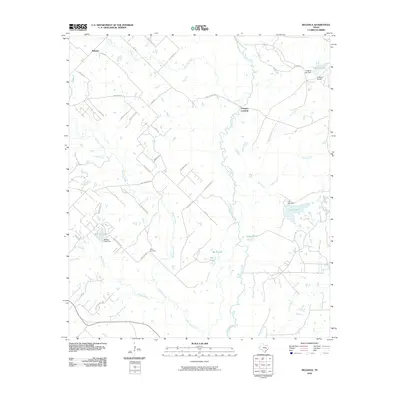 2010 Reliance2010 Print · USGSCovers Reliance, including Bryan, Brazos County, and other nearby areas
 - 2013 Map of Reliance, 2013 Print
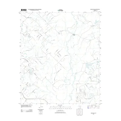 2013 Reliance2013 Print · USGSCovers Reliance, including Bryan, Brazos County, and other nearby areas
 - 2016 Map of Reliance, 2016 Print
 2016 Reliance2016 Print · USGSCovers Reliance, including Bryan, Brazos County, and other nearby areas
 - 2019 Map of Reliance, 2019 Print
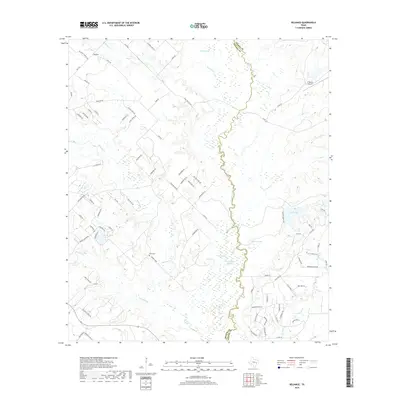 2019 Reliance2019 Print · USGSCovers Reliance, including Bryan, Brazos County, and other nearby areas
 - 2022 Map of Reliance, 2022 Print
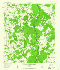
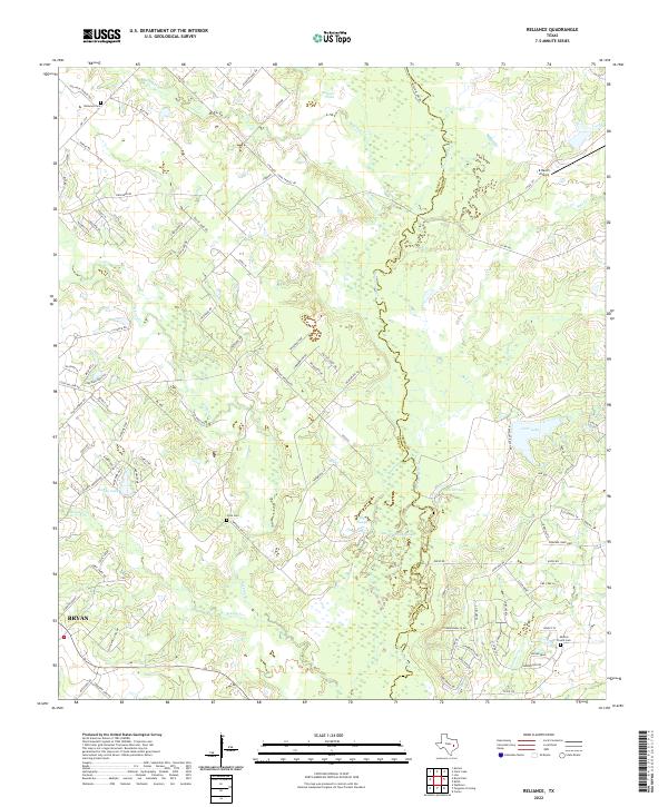 2022 Reliance2022 Print · USGSThe Brazos and Grimes County line comes alive in this contemporary view of the river bottomlands north of Bryan. Genealogists and historians can trace family burial sites at Reliance Cem and Stick Cem or locate the K Ranch Airport.
End of results
Showing maps 1-9 of 9
Top cities near Reliance
- College Station historical maps
- Bryan historical maps
- Kurten historical maps
- Wixon Valley historical maps
Frequently asked questions
- What are the different types of historical maps available for Reliance?
- What is the oldest map of Reliance?
- Where can I purchase historical maps of Reliance for my home or office?
- Where can I download high-res historical maps of Reliance?
- Are there historical topographic maps available for Reliance?
- Is there historical aerial imagery available for Reliance?
- Where are historical maps of Reliance sourced from?