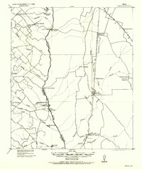
1956 Map of Carlos
USGS Topo · Published 1956About this map
The Navasota River forms a distinct natural boundary through this rural landscape, dividing Grimes and Brazos counties. Originally compiled from 1919 Army Corps of Engineers data and reprinted for civil use in the 1950s, the map reveals a network of agricultural communities and early rail stops. Small hubs like Carlos and Mesa are centered around their respective post offices, while the educational life of the countryside is marked by rural schoolhouses including Reliance School and the Jarvis School.
Find a feature on this map
50 named features on this map. Tap any name to fly to it.
Don’t see what you’re looking for? This feature index may not catch every label — zoom into the map to look around manually.
Map Details
Editions of this 1956 Carlos Map
This is the sole edition of this map. No revisions or reprints were ever made.
Other maps of this area
1913 · Millican
USGS Topo · 1:31,680
1914 · Gay Hill
USGS Topo · 1:62,500
1914 · Navasota
USGS Topo · 1:62,500
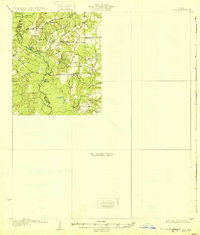
1931 · Iola
USGS Topo · 1:62,500

1954 · Beaumont
USGS Topo · 1:250,000

1954 · Austin
USGS Topo · 1:250,000
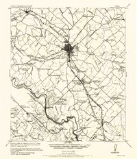
1956 · Bryan
USGS Topo · 1:62,500

1957 · Beaumont
USGS Topo · 1:250,000
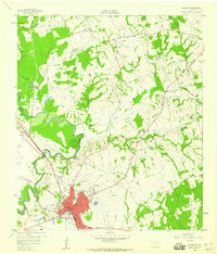
1958 · Navasota
USGS Topo · 1:24,000
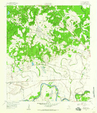
1959 · Millican
USGS Topo · 1:24,000