Old Maps of Varisco, Texas for Hiking & Exploration
Hike through history with 9 historic maps of Varisco. Explore old trails, ghost towns, and forgotten backroads — perfect for outdoor adventurers and local explorers.
- Rediscover forgotten places: Map out old mining camps, roads, and footpaths that no longer exist on modern maps.
- Layer with modern tools: Combine with LiDAR or satellite views to plan hikes through historical terrain.
- Made for exploration: Popular among hikers, overlanders, and local history lovers.
Use these maps to find adventure and explore the hidden past of Varisco.
Varisco, TX maps
(9)- 1954 Map of Austin, 1964 Print
 1954 Austin1964 Print · USGSCentral Texas is captured during a period of steady growth as the capital city and its neighboring farm towns began to modernize. Researchers can trace historic rail corridors like the Southern Pacific RR or locate landmarks such as Bergstrom Air Force Base and Pilot Knob.4 unique versions available
 - 1956 Map of Caldwell
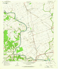
 1956 Caldwell1956 Print · USGSThe Brazos Valley at the end of the Great War era shows a landscape defined by cotton gins and river crossings. Trace family roots and vanished landmarks like Moseley's Ferry, Stone City, and the Skrabonek Gin near Caldwell.
 - 1961 Map of Mumford, 1964 Print
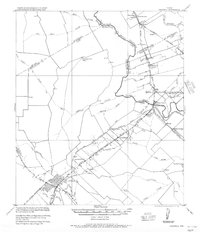
 1961 Mumford1964 Print · USGSThe Brazos River valley in the early sixties is a landscape of rural junctions and historic outposts at the meeting point of four counties. Researchers can locate the Fort Tenoxtitlan (Site), the rail sidings at Mudville, and local landmarks like Smith Sch.3 unique versions available
 - 1993 Map of Bryan
 1993 Bryan1993 Print · USGSBrazos Valley life in the early nineties centered on the rapid growth of College Station and the agricultural heartbeat of the river bottomlands. Genealogists and historians can trace the paths of the Kings Highway, several rail lines, and local landmarks like City Cem and Texas A&M University.
 - 2010 Map of Mumford, 2010 Print
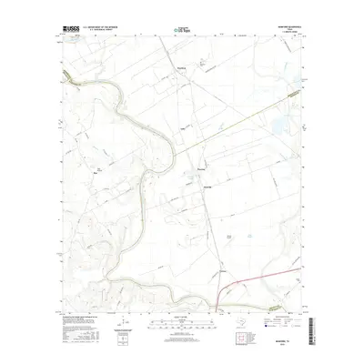
 2010 Mumford2010 Print · USGSCovers Varisco, including Bryan, Rita, and other nearby areas
 - 2013 Map of Mumford, 2013 Print
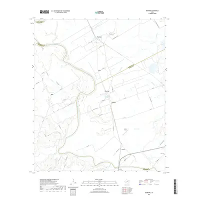
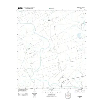 2013 Mumford2013 Print · USGSCovers Varisco, including Bryan, Rita, and other nearby areas
 - 2016 Map of Mumford, 2016 Print
 2016 Mumford2016 Print · USGSCovers Varisco, including Bryan, Rita, and other nearby areas
 - 2019 Map of Mumford, 2019 Print
 2019 Mumford2019 Print · USGSCovers Varisco, including Bryan, Rita, and other nearby areas
 - 2022 Map of Mumford, 2022 Print
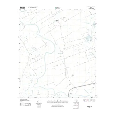
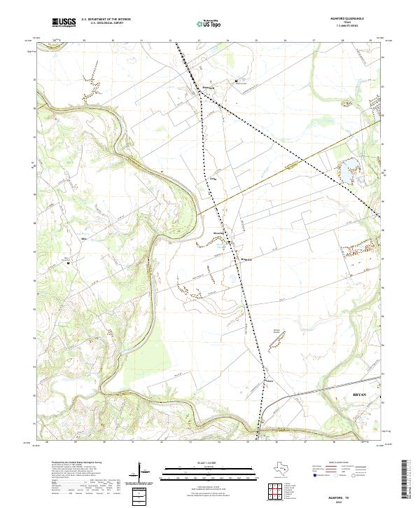 2022 Mumford2022 Print · USGSThe Brazos River bottomlands in the early twenty-first century reveal a landscape of enduring agricultural settlements and complex river hydrology. Genealogists and local historians can trace family-named sites like Teals Prairie Cem, Varisco Airport, and the community of Mudville.
End of results
Showing maps 1-9 of 9
Top cities near Varisco
- College Station historical maps
- Bryan historical maps
- Hearne historical maps
- Caldwell historical maps
- Snook historical maps
- Wixon Valley historical maps
Frequently asked questions
- What are the different types of historical maps available for Varisco?
- What is the oldest map of Varisco?
- Where can I purchase historical maps of Varisco for my home or office?
- Where can I download high-res historical maps of Varisco?
- Are there historical topographic maps available for Varisco?
- Is there historical aerial imagery available for Varisco?
- Where are historical maps of Varisco sourced from?