Old Maps of Alpine, Texas for Academic Research
Study the evolution of Alpine with 17 high-resolution historic maps. Whether you're teaching, researching, or modeling changes in land use, these maps provide essential visual documentation of urban, environmental, and geographic change.
- Analyze long-term change: Track patterns in development, transportation, and natural features.
- Ideal for environmental or urban studies: Support academic projects with primary historical map data.
- Use in the classroom or lab: Educators and researchers rely on these maps to bring historical context to life.
These maps are a powerful tool for teaching, research, and visualizing how Alpine has changed over the decades.
Alpine, TX maps
(17)- 1895 Map of Alpine
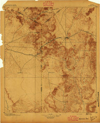 1895 Alpine1895 Print · USGSWest Texas ranching and rail life come into focus in the 1890s, centered on the growing hub of Alpine. Family historians can trace early landholdings like Greenlee Ranch and Neville Ranch alongside the vital Southern Pacific line.6 unique versions available
 - 1954 Map of Fort Stockton, 1965 Print
 1954 Fort Stockton1965 Print · USGSWest Texas ranching and the early energy industry converge in this mid-century survey of the Trans-Pecos. Genealogists and historians can locate specific family lands like Graef Brothers Ranch and trace the paths of the Old Spanish Trail and the Southern Pacific railroad.3 unique versions available
 - 1958 Map of Fort Stockton
 1958 Fort Stockton1958 Print · USGSThe Trans-Pecos region of West Texas in the late fifties is a landscape of vast mesas and isolated ranching hubs. Genealogists and historians can trace the paths of the Texas and New Orleans RR through Alpine or locate early settlements like Bakersfield and Sanderson.
 - 1972 Map of Alpine North, 1975 Print
 1972 Alpine North1975 Print · USGSThe high desert outskirts of Alpine are captured here in the early seventies, showing a landscape defined by ranching and rail. Genealogists and historians can trace the Atchison Topeka and Santa Fe line or locate the Merriwether Ranch and Municipal Airport.
 - 1972 Map of Alpine South, 1975 Print
 1972 Alpine South1975 Print · USGSThe Trans-Pecos cattle and college town of Alpine is shown in the early seventies, caught between the high desert peaks and its rail-line origins. Genealogists and historians can trace the growth of Sul Ross State University and locate landmarks like Brewster Mem Hosp and the Rodeo Ground.
 - 1973 Map of Fort Stockton, 1974 Print
 1973 Fort Stockton1974 Print · USGSThe Trans-Pecos region of West Texas comes alive in the early seventies, from the desert flats of the Stockton Plateau to the heights of the Davis Mountains. Researchers can trace the legacy of frontier outposts and rail lines through Fort Davis Nat Hist Site, Alpine, and the Southern Pacific RR.
 - 1985 Map of Alpine
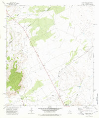
 1985 Alpine1985 Print · USGSWest Texas ranching and rail life are documented here in the mid-1980s as the region centers on Alpine. Trace the iron paths of the Southern Pacific and Atchison Topeka and Santa Fe through settlements like Marathon and Altuda.2 unique versions available
 - 2010 Map of Alpine North, 2010 Print
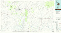
 2010 Alpine North2010 Print · USGSCovers Alpine, including Jeff Davis County, Brewster County, and other nearby areas
 - 2010 Map of Alpine South, 2010 Print
 2010 Alpine South2010 Print · USGSCovers Alpine, including Brewster County, United States, and other nearby areas
 - 2012 Map of Alpine North, 2012 Print
 2012 Alpine North2012 Print · USGSCovers Alpine, including Jeff Davis County, Brewster County, and other nearby areas
 - 2012 Map of Alpine South, 2012 Print
 2012 Alpine South2012 Print · USGSCovers Alpine, including Brewster County, United States, and other nearby areas
 - 2016 Map of Alpine North, 2016 Print
 2016 Alpine North2016 Print · USGSCovers Alpine, including Jeff Davis County, Brewster County, and other nearby areas
 - 2016 Map of Alpine South, 2016 Print
 2016 Alpine South2016 Print · USGSCovers Alpine, including Brewster County, United States, and other nearby areas
 - 2019 Map of Alpine North, 2019 Print
 2019 Alpine North2019 Print · USGSCovers Alpine, including Jeff Davis County, Brewster County, and other nearby areas
 - 2019 Map of Alpine South, 2019 Print
 2019 Alpine South2019 Print · USGSCovers Alpine, including Brewster County, United States, and other nearby areas
 - 2022 Map of Alpine North, 2022 Print
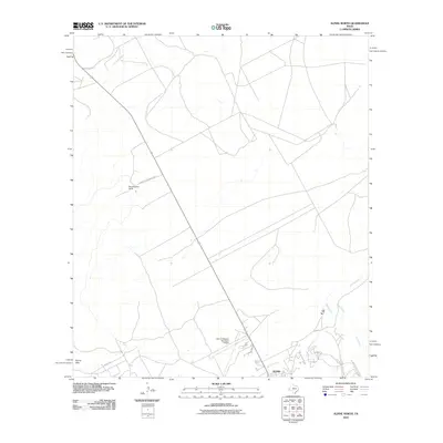
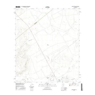
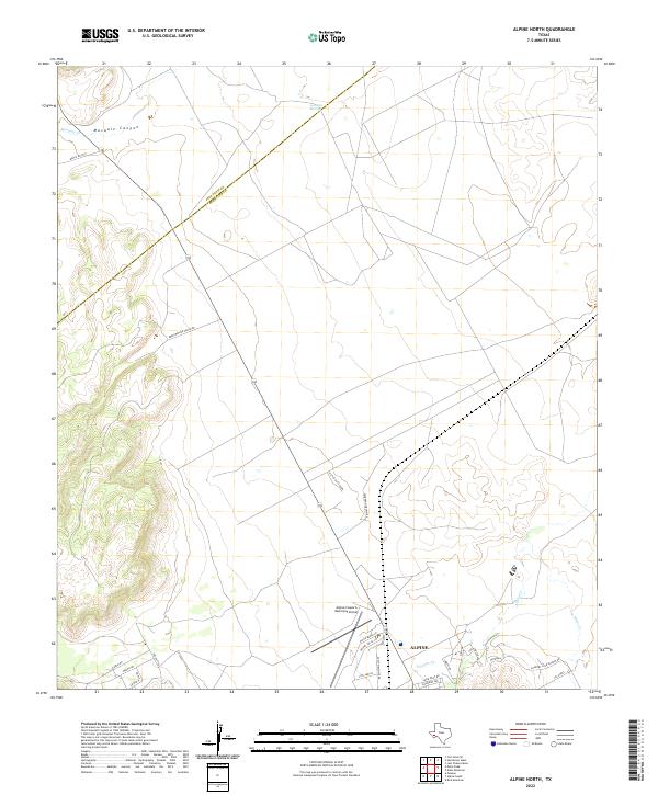 2022 Alpine North2022 Print · USGSNorthern Brewster County is seen here in the early 2020s as the town of Alpine expands toward the mountains. Researchers can trace the ranching landscape from Leoncita Spring down to the Alpine-Casparis Municipal Airport.
 - 2022 Map of Alpine South, 2022 Print
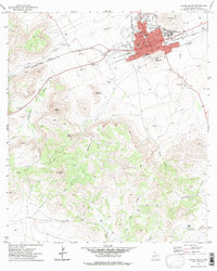
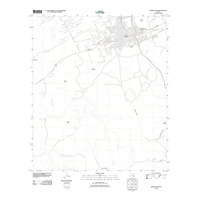
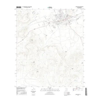
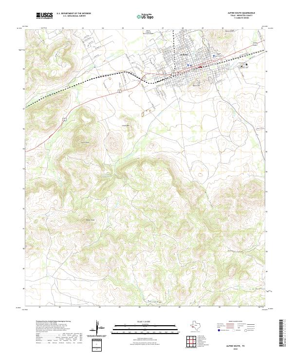 2022 Alpine South2022 Print · USGSAlpine and the surrounding Brewster County highlands are captured here in the 2020s, showing the intersection of university life and high-desert ranching. Trace local history at Sul Ross State University, the Brewster County Courthouse, or the Elm Grove Cem.
End of results
Showing maps 1-17 of 17
Frequently asked questions
- What are the different types of historical maps available for Alpine?
- What is the oldest map of Alpine?
- Where can I purchase historical maps of Alpine for my home or office?
- Where can I download high-res historical maps of Alpine?
- Are there historical topographic maps available for Alpine?
- Is there historical aerial imagery available for Alpine?
- Where are historical maps of Alpine sourced from?