Old Maps of Hot Springs, Texas for Hiking & Exploration
Hike through history with 9 historic maps of Hot Springs. Explore old trails, ghost towns, and forgotten backroads — perfect for outdoor adventurers and local explorers.
- Rediscover forgotten places: Map out old mining camps, roads, and footpaths that no longer exist on modern maps.
- Layer with modern tools: Combine with LiDAR or satellite views to plan hikes through historical terrain.
- Made for exploration: Popular among hikers, overlanders, and local history lovers.
Use these maps to find adventure and explore the hidden past of Hot Springs.
Hot Springs, TX maps
(9)- 1959 Map of Emory Peak, 1967 Print
 1959 Emory Peak1967 Print · USGSThe Big Bend country of West Texas is documented here just as the national park was becoming a major destination. Researchers can trace remote desert outposts like Lajitas, Castolon, and the Terlingua Post Office along the winding Rio Grande.3 unique versions available
 - 1965 Map of Emory Peak
 1965 Emory Peak1965 Print · USGSThe Big Bend backcountry in the mid-1960s reveals a desert landscape of remote ranches and mercury mining. Trace the historic boundary along the Rio Grande and locate landmarks like the Fresno Mine and Panther Spring.
 - 1971 Map of Boquillas, 1974 Print
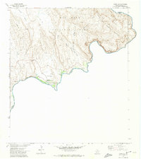 1971 Boquillas1974 Print · USGSThe international border along the Big Bend of the Rio Grande is captured here in the early 1970s. Researchers can trace remote desert routes like the Old Ore Road and Strawhouse Trail, or locate the Boquillas Crossing (Ford) and US Customs.4 unique versions available
 - 1984 Map of Boquillas, 1985 Print
 1984 Boquillas1985 Print · USGSThe Texas-Mexico borderlands in Brewster County appear here in the mid-1980s as a vast expanse of desert peaks and river canyons. Researchers can trace remote transit points like Stillwell Crossing Port of Entry, desert landmarks such as Sue Peaks, and the Pack Trail networks through Big Bend National Park.2 unique versions available
 - 2010 Map of Rio Grande Village, 2010 Print
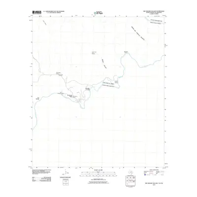 2010 Rio Grande Village2010 Print · USGSThe river border south of the Chisos Mountains comes into focus in this recent survey of the Big Bend region. Researchers can trace the path of the Old Ore Rd, locate the Ore Terminal Aerial Tramway, and explore the area around Rio Grande Village.
 - 2013 Map of Rio Grande Village, 2013 Print
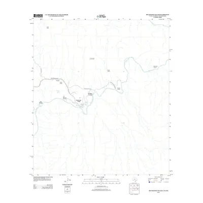 2013 Rio Grande Village2013 Print · USGSThe Texas-Mexico borderlands along the Big Bend appear here in the early twenty-first century, centered on the river's path. Researchers can trace historic transit and industry through the Ore Terminal Aerial Tramway and the Old Ore Rd near Rio Grande Village.
 - 2016 Map of Rio Grande Village, 2016 Print
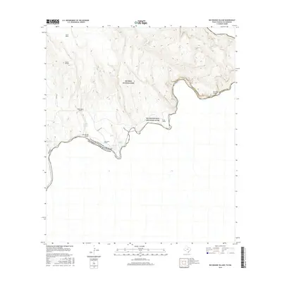 2016 Rio Grande Village2016 Print · USGSThe river border and desert springs of West Texas are documented here in the mid-2010s. Researchers can locate the site of Boquillas Warm Springs and trace the winding path of Old Ore Rd through Ernst Basin.
 - 2019 Map of Rio Grande Village, 2019 Print
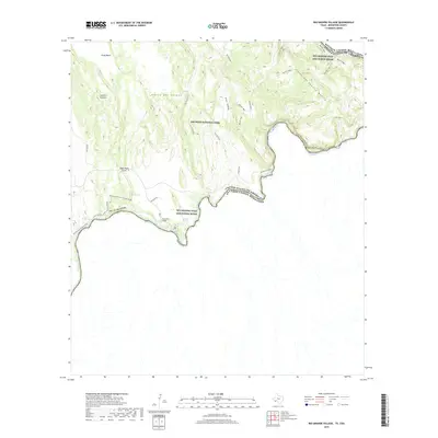 2019 Rio Grande Village2019 Print · USGSThe Texas-Mexico border comes alive in this 2019 survey of Big Bend’s riverfront and desert highlands. Modern researchers can trace historical mining routes like Old Ore Rd, explore the thermal waters of Hot Springs, and locate the remote Ore Terminal sites.
 - 2022 Map of Rio Grande Village, 2022 Print
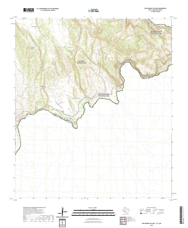 2022 Rio Grande Village2022 Print · USGSThe international border along the river in Brewster County comes alive on this survey of the desert canyonlands. Trace the winding Boquillas Canyon Road to reach Boquillas Warm Springs and the trailhead at Hot Springs.
End of results
Showing maps 1-9 of 9
Frequently asked questions
- What are the different types of historical maps available for Hot Springs?
- What is the oldest map of Hot Springs?
- Where can I purchase historical maps of Hot Springs for my home or office?
- Where can I download high-res historical maps of Hot Springs?
- Are there historical topographic maps available for Hot Springs?
- Is there historical aerial imagery available for Hot Springs?
- Where are historical maps of Hot Springs sourced from?