Old Maps of Loy Place, Texas for Academic Research
Study the evolution of Loy Place with 12 high-resolution historic maps. Whether you're teaching, researching, or modeling changes in land use, these maps provide essential visual documentation of urban, environmental, and geographic change.
- Analyze long-term change: Track patterns in development, transportation, and natural features.
- Ideal for environmental or urban studies: Support academic projects with primary historical map data.
- Use in the classroom or lab: Educators and researchers rely on these maps to bring historical context to life.
These maps are a powerful tool for teaching, research, and visualizing how Loy Place has changed over the decades.
Loy Place, TX maps
(12)- 1917 Map of Buck Hill, 1957 Print
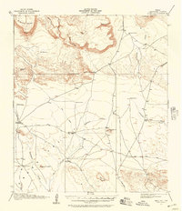 1917 Buck Hill1957 Print · USGSBrewster County ranching life during the early twentieth century is captured here in a landscape of high mesas and desert draws. Genealogists and historians can locate family holdings like Kokernot Ranch, Wilsons Ranch, and the Loy Place (Abandoned).2 unique versions available
 - 1918 Map of Buck Hill
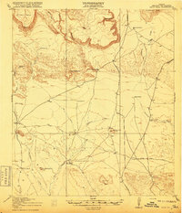 1918 Buck Hill1918 Print · USGSBrewster County's expansive ranching landscape is captured here during the Great War era, showing a world of isolated outposts and vital desert springs. Genealogists and historians can trace the foundations of local heritage at Kokernot Ranch, Wilson's Ranch, and the Loy Place (Abandoned).
 - 1925 Map of Buck Hill
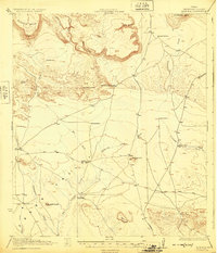 1925 Buck Hill1925 Print · USGSHigh-desert ranching and cattle outposts define this Brewster County landscape during the mid-1920s. Researchers can locate family homesteads and early water sources like Kokernot Ranch, Plank House, and Whirlwind Spring.3 unique versions available
 - 1959 Map of Emory Peak, 1967 Print
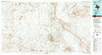
 1959 Emory Peak1967 Print · USGSThe Big Bend country of West Texas is documented here just as the national park was becoming a major destination. Researchers can trace remote desert outposts like Lajitas, Castolon, and the Terlingua Post Office along the winding Rio Grande.3 unique versions available
 - 1965 Map of Emory Peak
 1965 Emory Peak1965 Print · USGSThe Big Bend backcountry in the mid-1960s reveals a desert landscape of remote ranches and mercury mining. Trace the historic boundary along the Rio Grande and locate landmarks like the Fresno Mine and Panther Spring.
 - 1983 Map of Straddlebug Mountain, 1984 Print
 1983 Straddlebug Mountain1984 Print · USGSBrewster County ranching life is well-documented in the early eighties, showing a landscape of wide-open valleys and isolated homesteads. Researchers can locate the expansive O2 Ranch, find historical Landing Strips, and trace the path of Terlingua Creek through the desert.
 - 1985 Map of Santiago Mountains, 1994 Print
 1985 Santiago Mountains1994 Print · USGSThe Trans-Pecos region of West Texas in the mid-1980s reveals a vast network of isolated ranching outposts and protected wildlands. Genealogists and historians can trace old homesteads near Butcherknife and Cochran or locate landmarks like Santiago Peak and Nine Point Mesa.2 unique versions available
 - 2010 Map of Straddlebug Mountain, 2010 Print
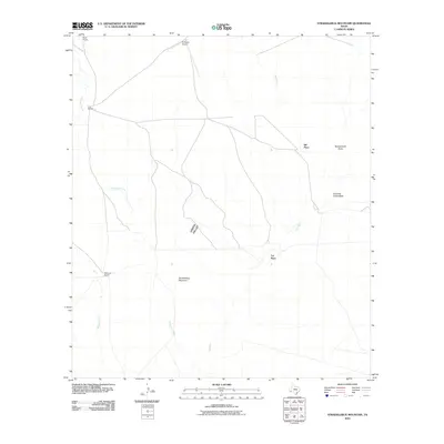 2010 Straddlebug Mountain2010 Print · USGSCovers Loy Place, including Sid Place, Brewster County, and other nearby areas
 - 2012 Map of Straddlebug Mountain, 2012 Print
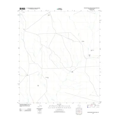 2012 Straddlebug Mountain2012 Print · USGSCovers Loy Place, including Sid Place, Brewster County, and other nearby areas
 - 2016 Map of Straddlebug Mountain, 2016 Print
 2016 Straddlebug Mountain2016 Print · USGSCovers Loy Place, including Sid Place, Brewster County, and other nearby areas
 - 2019 Map of Straddlebug Mountain, 2019 Print
 2019 Straddlebug Mountain2019 Print · USGSCovers Loy Place, including Sid Place, Brewster County, and other nearby areas
 - 2022 Map of Straddlebug Mountain, 2022 Print
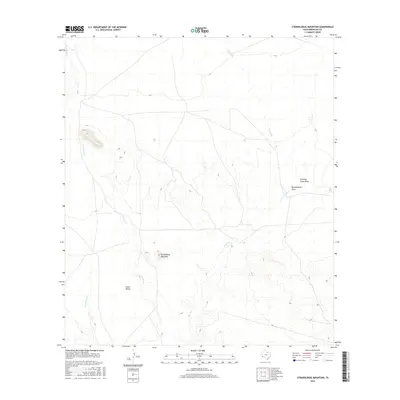
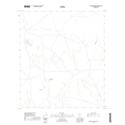
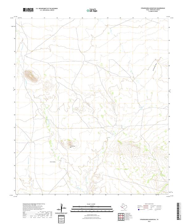 2022 Straddlebug Mountain2022 Print · USGSThis Brewster County landscape in the early 2020s shows the sparsely populated terrain of the Big Bend region. Local researchers can trace the seasonal drainage of Terlingua Cr and locate isolated landmarks like Straddlebug Mtn and Green Valley.
End of results
Showing maps 1-12 of 12
Frequently asked questions
- What are the different types of historical maps available for Loy Place?
- What is the oldest map of Loy Place?
- Where can I purchase historical maps of Loy Place for my home or office?
- Where can I download high-res historical maps of Loy Place?
- Are there historical topographic maps available for Loy Place?
- Is there historical aerial imagery available for Loy Place?
- Where are historical maps of Loy Place sourced from?