Old Maps of Millers, Texas for Academic Research
Study the evolution of Millers with 10 high-resolution historic maps. Whether you're teaching, researching, or modeling changes in land use, these maps provide essential visual documentation of urban, environmental, and geographic change.
- Analyze long-term change: Track patterns in development, transportation, and natural features.
- Ideal for environmental or urban studies: Support academic projects with primary historical map data.
- Use in the classroom or lab: Educators and researchers rely on these maps to bring historical context to life.
These maps are a powerful tool for teaching, research, and visualizing how Millers has changed over the decades.
Millers, TX maps
(10)- 1918 Map of Bullis Gap
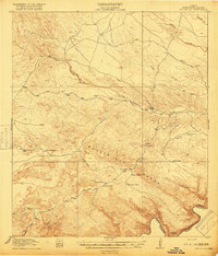 1918 Bullis Gap1918 Print · USGSBrewster County's rugged borderlands come into focus during the late First World War era, showing a landscape defined by ranching and transit. Genealogists and historians can trace the Bullis Trail to isolated sites like Espanol House, Kellogg, and Valdez Goat Camp.4 unique versions available
 - 1959 Map of Emory Peak, 1967 Print
 1959 Emory Peak1967 Print · USGSThe Big Bend country of West Texas is documented here just as the national park was becoming a major destination. Researchers can trace remote desert outposts like Lajitas, Castolon, and the Terlingua Post Office along the winding Rio Grande.3 unique versions available
 - 1965 Map of Emory Peak
 1965 Emory Peak1965 Print · USGSThe Big Bend backcountry in the mid-1960s reveals a desert landscape of remote ranches and mercury mining. Trace the historic boundary along the Rio Grande and locate landmarks like the Fresno Mine and Panther Spring.
 - 1983 Map of Beef Gap, 1984 Print
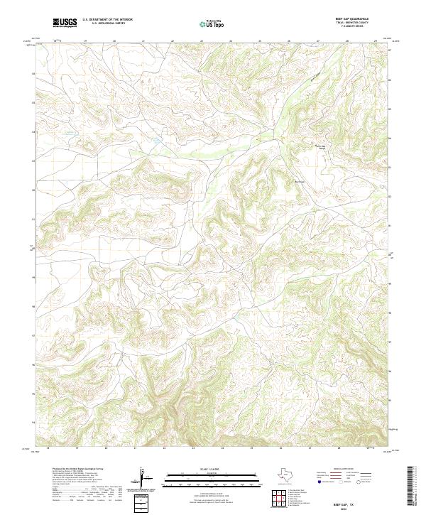
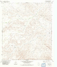 1983 Beef Gap1984 Print · USGSBrewster County's arid high-desert landscape is captured in the early eighties, highlighting the remote ranching operations in the Bullis Gap Range. Researchers can locate isolated landmarks like Beef Canyon Ranch, Smith Ranch, and a central LANDING STRIP.
 - 1985 Map of Dove Mountain
 1985 Dove Mountain1985 Print · USGSThe West Texas borderlands along the Rio Grande are captured here in the mid-1980s, showcasing a landscape of canyons and isolated peaks. Researchers can trace remote settlements like Loma Vista and Karen or navigate the terrain of the Jackson Range.2 unique versions available
 - 2010 Map of Beef Gap, 2010 Print
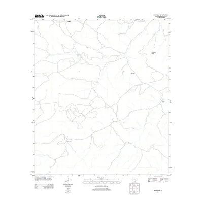
 2010 Beef Gap2010 Print · USGSCovers Millers, including Brewster County, United States, and other nearby areas
 - 2013 Map of Beef Gap, 2013 Print
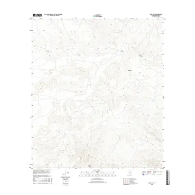
 2013 Beef Gap2013 Print · USGSCovers Millers, including Brewster County, United States, and other nearby areas
 - 2016 Map of Beef Gap, 2016 Print
 2016 Beef Gap2016 Print · USGSCovers Millers, including Brewster County, United States, and other nearby areas
 - 2019 Map of Beef Gap, 2019 Print
 2019 Beef Gap2019 Print · USGSCovers Millers, including Brewster County, United States, and other nearby areas
 - 2022 Map of Beef Gap, 2022 Print
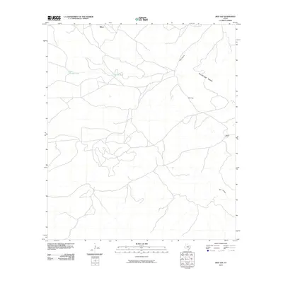
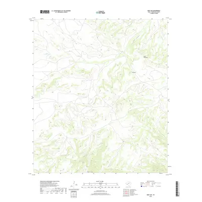
 2022 Beef Gap2022 Print · USGSThe Brewster County landscape is defined by the high ridges of the Bullis Gap Range during the early 2020s. Local researchers can trace topographical landmarks like Beef Gap and water resources such as Little Crenshaw Tank.
End of results
Showing maps 1-10 of 10
Frequently asked questions
- What are the different types of historical maps available for Millers?
- What is the oldest map of Millers?
- Where can I purchase historical maps of Millers for my home or office?
- Where can I download high-res historical maps of Millers?
- Are there historical topographic maps available for Millers?
- Is there historical aerial imagery available for Millers?
- Where are historical maps of Millers sourced from?