Old Maps of Pettits, Texas for Genealogy
Trace your family roots with 5 historic maps of Pettits. These high-res maps reveal old neighborhoods, homesites, landmarks, and streets — helping you uncover where your ancestors lived and how the area evolved over time.
- Explore historic neighborhoods: Identify where your relatives may have lived in the 1800s or 1900s.
- Compare maps over time: Trace the changes in streets, buildings, and landmarks for multi-generational research.
- Perfect for genealogy & ancestry research: Used by family historians and researchers to map out lineage and migration.
These maps are an incredible resource for exploring your personal connection to Pettits's past.
Pettits, TX maps
(5)- 2010 Map of Reed Camp OE S, 2010 Print
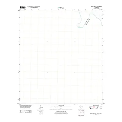 2010 Reed Camp OE S2010 Print · USGSCovers Pettits, including Manuel Benavides, Ocampo, and other nearby areas
 - 2012 Map of Reed Camp OE S, 2012 Print
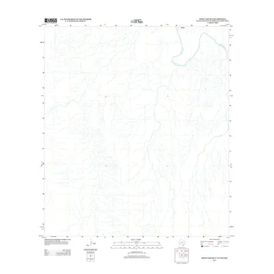 2012 Reed Camp OE S2012 Print · USGSCovers Pettits, including Manuel Benavides, Ocampo, and other nearby areas
 - 2016 Map of Reed Camp OE S, 2016 Print
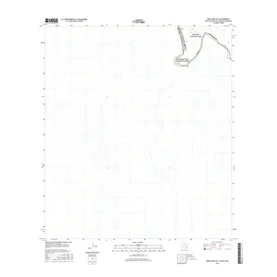 2016 Reed Camp OE S2016 Print · USGSCovers Pettits, including Manuel Benavides, Ocampo, and other nearby areas
 - 2019 Map of Reed Camp OE S, 2019 Print
 2019 Reed Camp OE S2019 Print · USGSCovers Pettits, including Manuel Benavides, Ocampo, and other nearby areas
 - 2022 Map of Reed Camp OE S, 2022 Print
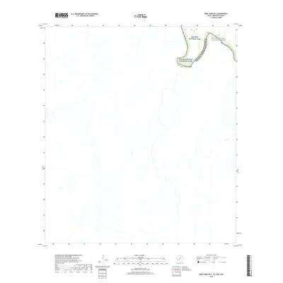
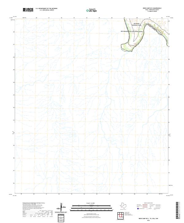 2022 Reed Camp OE S2022 Print · USGSThe international border along the Big Bend takes center stage in this recent survey of the Texas desert. Researchers can trace the winding path of the Rio Grande Wild and Scenic River as it passes through Big Bend National Park.
End of results
Showing maps 1-5 of 5
Frequently asked questions
- What are the different types of historical maps available for Pettits?
- What is the oldest map of Pettits?
- Where can I purchase historical maps of Pettits for my home or office?
- Where can I download high-res historical maps of Pettits?
- Are there historical topographic maps available for Pettits?
- Is there historical aerial imagery available for Pettits?
- Where are historical maps of Pettits sourced from?