Old Maps of Pettits, Texas for Metal Detecting
Plan your next treasure hunt with 5 historic maps of Pettits. Find old homesites, ghost towns, trails, and gathering spots that may be lost to time — perfect for identifying promising metal detecting locations.
- Locate forgotten sites: Uncover places like long-lost settlements, abandoned rail lines, or gathering spots.
- Plan better hunts: Use map overlays combined with LiDAR or satellite views to narrow in on historically rich areas.
- Made for detectorists: Thousands of hobbyists use these maps to discover relics, coins, and hidden history.
Use these historic maps to boost your research and find new opportunities beneath the surface of Pettits.
Pettits, TX maps
(5)- 2010 Map of Reed Camp OE S, 2010 Print
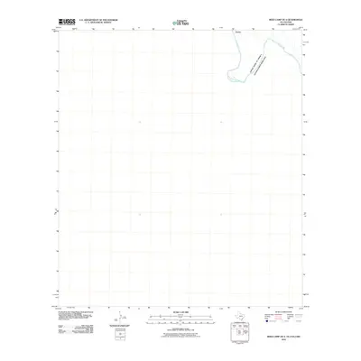 2010 Reed Camp OE S2010 Print · USGSCovers Pettits, including Manuel Benavides, Ocampo, and other nearby areas
 - 2012 Map of Reed Camp OE S, 2012 Print
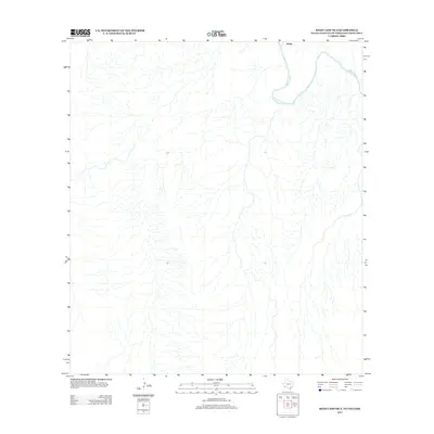 2012 Reed Camp OE S2012 Print · USGSCovers Pettits, including Manuel Benavides, Ocampo, and other nearby areas
 - 2016 Map of Reed Camp OE S, 2016 Print
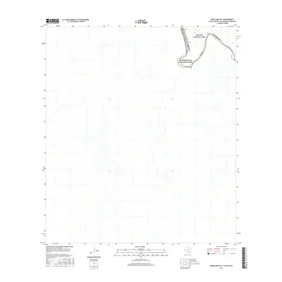 2016 Reed Camp OE S2016 Print · USGSCovers Pettits, including Manuel Benavides, Ocampo, and other nearby areas
 - 2019 Map of Reed Camp OE S, 2019 Print
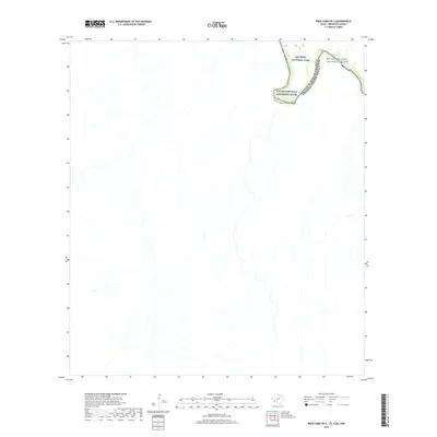 2019 Reed Camp OE S2019 Print · USGSCovers Pettits, including Manuel Benavides, Ocampo, and other nearby areas
 - 2022 Map of Reed Camp OE S, 2022 Print
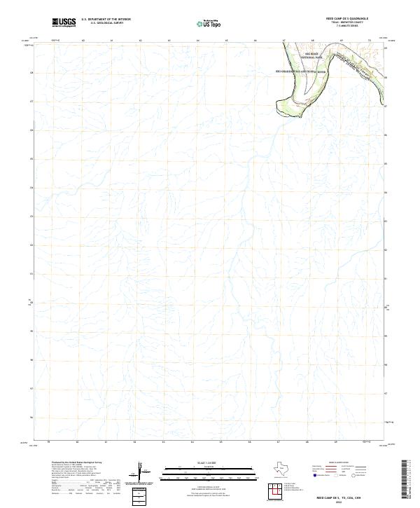 2022 Reed Camp OE S2022 Print · USGSThe international border along the Big Bend takes center stage in this recent survey of the Texas desert. Researchers can trace the winding path of the Rio Grande Wild and Scenic River as it passes through Big Bend National Park.
End of results
Showing maps 1-5 of 5
Frequently asked questions
- What are the different types of historical maps available for Pettits?
- What is the oldest map of Pettits?
- Where can I purchase historical maps of Pettits for my home or office?
- Where can I download high-res historical maps of Pettits?
- Are there historical topographic maps available for Pettits?
- Is there historical aerial imagery available for Pettits?
- Where are historical maps of Pettits sourced from?