Old Maps of Talley, Texas for Hiking & Exploration
Hike through history with 5 historic maps of Talley. Explore old trails, ghost towns, and forgotten backroads — perfect for outdoor adventurers and local explorers.
- Rediscover forgotten places: Map out old mining camps, roads, and footpaths that no longer exist on modern maps.
- Layer with modern tools: Combine with LiDAR or satellite views to plan hikes through historical terrain.
- Made for exploration: Popular among hikers, overlanders, and local history lovers.
Use these maps to find adventure and explore the hidden past of Talley.
Talley, TX maps
(5)- 2010 Map of Mariscal Mountain OE S, 2010 Print
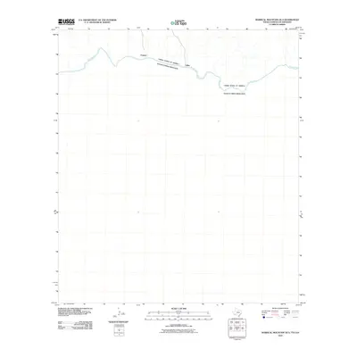 2010 Mariscal Mountain OE S2010 Print · USGSCovers Talley, including Pantera, Ocampo, and other nearby areas
 - 2012 Map of Mariscal Mountain OE S, 2012 Print
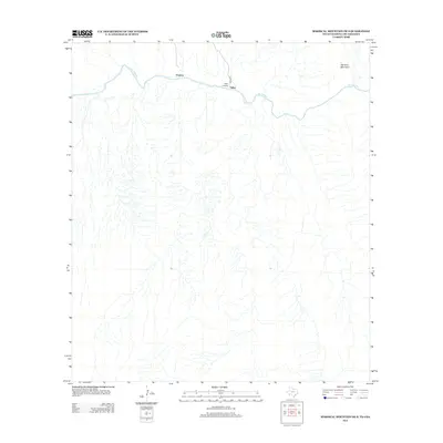 2012 Mariscal Mountain OE S2012 Print · USGSCovers Talley, including Pantera, Ocampo, and other nearby areas
 - 2016 Map of Mariscal Mountain OE S, 2016 Print
 2016 Mariscal Mountain OE S2016 Print · USGSCovers Talley, including Pantera, Ocampo, and other nearby areas
 - 2019 Map of Mariscal Mountain OE S, 2019 Print
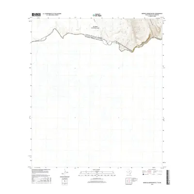
 2019 Mariscal Mountain OE S2019 Print · USGSCovers Talley, including Pantera, Ocampo, and other nearby areas
 - 2022 Map of Mariscal Mountain OE S, 2022 Print
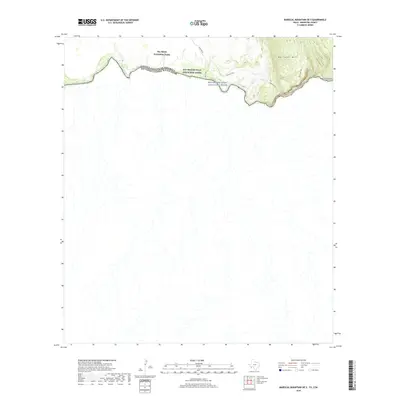
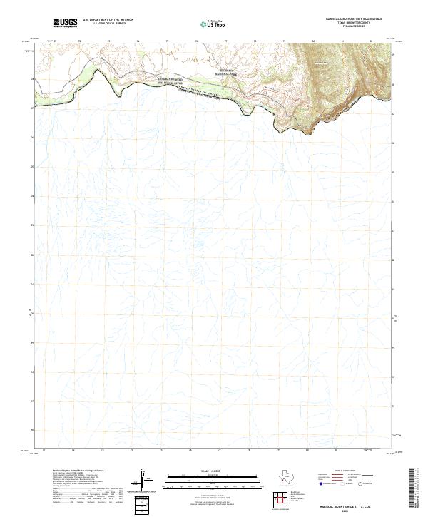 2022 Mariscal Mountain OE S2022 Print · USGSThe international border along the southern reaches of Brewster County is captured here in the early twenty-first century. Researchers can trace the winding Rio Grande through Mariscal Canyon and follow primitive paths like the Mariscal Rim Trl.
End of results
Showing maps 1-5 of 5
Frequently asked questions
- What are the different types of historical maps available for Talley?
- What is the oldest map of Talley?
- Where can I purchase historical maps of Talley for my home or office?
- Where can I download high-res historical maps of Talley?
- Are there historical topographic maps available for Talley?
- Is there historical aerial imagery available for Talley?
- Where are historical maps of Talley sourced from?