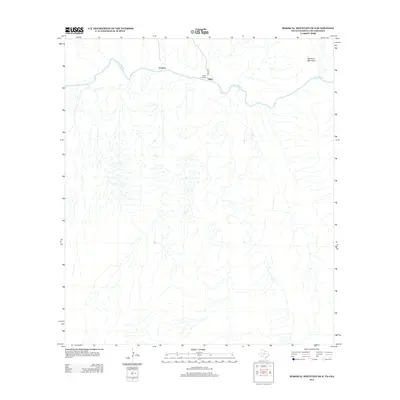
2012 Map of Mariscal Mountain OE S
USGS Topo · Published 2012About this map
The Rio Grande defines the northern landscape of this Brewster County region, carving through the arid terrain as it flows past the foothills of Mariscal Mountain. This remote desert environment is marked by a handful of established points, most notably Talley, where Talley Rd terminates near the riverbank. This area represents a quiet segment of the international border, where the river serves as both a physical boundary and a focal point for the few trails and tracks that navigate the brush.
Find a feature on this map
6 named features on this map. Tap any name to fly to it.
Don’t see what you’re looking for? This feature index may not catch every label — zoom into the map to look around manually.
Map Details
Editions of this 2012 Mariscal Mountain OE S Map
This is the sole edition of this map. No revisions or reprints were ever made.
Other maps of this area
1903 · Chisos Mountains
USGS Topo · 1:125,000
1905 · Chisos Mountains
USGS Topo · 1:125,000
1959 · Emory Peak
USGS Topo · 1:250,000
1965 · Emory Peak
USGS Topo · 1:250,000
1970 · Solis
USGS Topo · 1:24,000
1971 · Reed Camp
USGS Topo · 1:24,000
1985 · Chisos Mountains
USGS Topo · 1:100,000
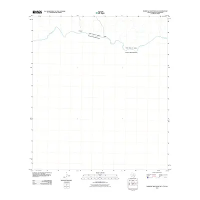
2010 · Mariscal Mountain OE S
USGS Topo · 1:24,000
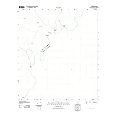
2010 · Solis
USGS Topo · 1:24,000
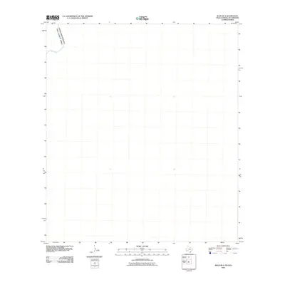
2010 · Solis OE S
USGS Topo · 1:24,000