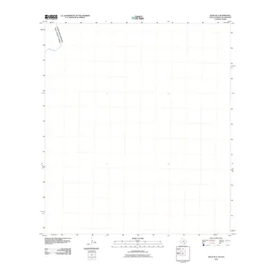
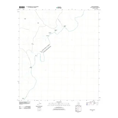
2010 Map of Solis OE S
USGS Topo · Published 2010About this map
The Rio Grande cuts through this high-desert boundary landscape along the international border, marking the division between the United States of America and Estados Unidos Mexicanos. This 2010 survey focuses on a remote section of the borderlands where the river is the primary geographical anchor for a wide expanse of open terrain. The map reflects a moment in the modern era of border monitoring, showing the natural course of the waterway as it dictates the shape of the national frontier. While the land around the river remains largely undeveloped on this sheet, the precise survey lines illustrate the complex task of mapping this binational environment.
Find a feature on this map
2 named features on this map. Tap any name to fly to it.
Don’t see what you’re looking for? This feature index may not catch every label — zoom into the map to look around manually.
Map Details
Editions of this 2010 Solis OE S Map
This is the sole edition of this map. No revisions or reprints were ever made.
Other maps of this area

1903 · Chisos Mountains
USGS Topo · 1:125,000

1905 · Chisos Mountains
USGS Topo · 1:125,000

1959 · Emory Peak
USGS Topo · 1:250,000

1965 · Emory Peak
USGS Topo · 1:250,000
1970 · Solis
USGS Topo · 1:24,000
1984 · Boquillas
USGS Topo · 1:100,000

1985 · Chisos Mountains
USGS Topo · 1:100,000
2010 · Mariscal Mountain OE S
USGS Topo · 1:24,000
2010 · Solis
USGS Topo · 1:24,000
2011 · Mariscal Mountain
USGS Topo · 1:24,000