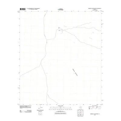
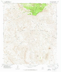
2011 Map of Mariscal Mountain
USGS Topo · Published 2011About this map
Mariscal Mine sits as a primary industrial landmark within this high-desert landscape of Brewster County. The presence of this site, accessible via Talley Rd, indicates the legacy of mercury mining that once dominated this specific corner of the Trans-Pecos. The terrain is dominated by the massive ridge of Mariscal Mountain, which stretches across the lower portion of the sheet, dictating the primitive road network. Water sources are scarce but vital, marked by the intermittent Fresno Creek and the isolated Solis Spring to the east. The convergence of Black Gap Rd and Talley Rd provides the only through-access in this sparsely developed region, illustrating the remoteness and the specific utility of this land for mining and transit at the start of the 21st century.
Find a feature on this map
6 named features on this map. Tap any name to fly to it.
Don’t see what you’re looking for? This feature index may not catch every label — zoom into the map to look around manually.
Map Details
Editions of this 2011 Mariscal Mountain Map
This is the sole edition of this map. No revisions or reprints were ever made.
Other maps of this area

1903 · Chisos Mountains
USGS Topo · 1:125,000

1905 · Chisos Mountains
USGS Topo · 1:125,000

1959 · Emory Peak
USGS Topo · 1:250,000

1965 · Emory Peak
USGS Topo · 1:250,000
1970 · Solis
USGS Topo · 1:24,000

1971 · Glenn Spring
USGS Topo · 1:24,000
1971 · Reed Camp
USGS Topo · 1:24,000
1971 · San Vicente
USGS Topo · 1:24,000
1971 · Emory Peak
USGS Topo · 1:24,000

1985 · Chisos Mountains
USGS Topo · 1:100,000