Old Maps of Talley, Texas for Genealogy
Trace your family roots with 5 historic maps of Talley. These high-res maps reveal old neighborhoods, homesites, landmarks, and streets — helping you uncover where your ancestors lived and how the area evolved over time.
- Explore historic neighborhoods: Identify where your relatives may have lived in the 1800s or 1900s.
- Compare maps over time: Trace the changes in streets, buildings, and landmarks for multi-generational research.
- Perfect for genealogy & ancestry research: Used by family historians and researchers to map out lineage and migration.
These maps are an incredible resource for exploring your personal connection to Talley's past.
Talley, TX maps
(5)- 2010 Map of Mariscal Mountain OE S, 2010 Print
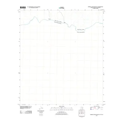 2010 Mariscal Mountain OE S2010 Print · USGSCovers Talley, including Pantera, Ocampo, and other nearby areas
 - 2012 Map of Mariscal Mountain OE S, 2012 Print
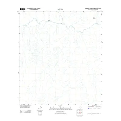 2012 Mariscal Mountain OE S2012 Print · USGSCovers Talley, including Pantera, Ocampo, and other nearby areas
 - 2016 Map of Mariscal Mountain OE S, 2016 Print
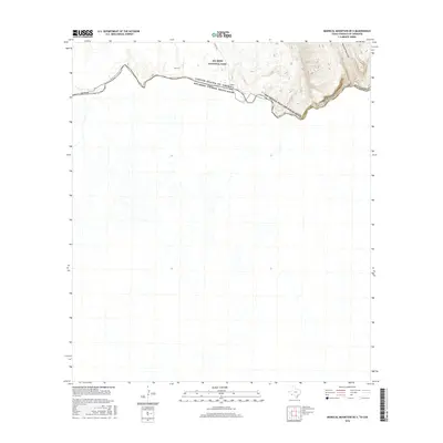 2016 Mariscal Mountain OE S2016 Print · USGSCovers Talley, including Pantera, Ocampo, and other nearby areas
 - 2019 Map of Mariscal Mountain OE S, 2019 Print
 2019 Mariscal Mountain OE S2019 Print · USGSCovers Talley, including Pantera, Ocampo, and other nearby areas
 - 2022 Map of Mariscal Mountain OE S, 2022 Print
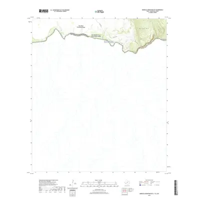
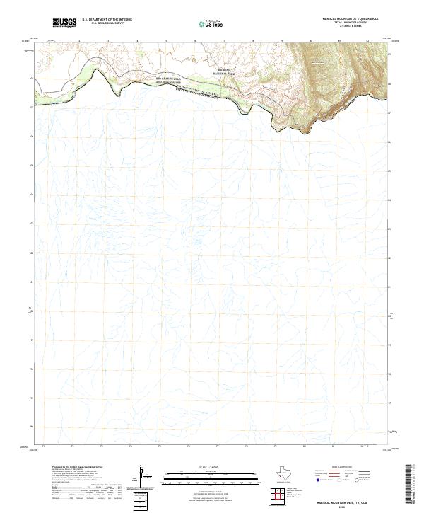 2022 Mariscal Mountain OE S2022 Print · USGSThe international border along the southern reaches of Brewster County is captured here in the early twenty-first century. Researchers can trace the winding Rio Grande through Mariscal Canyon and follow primitive paths like the Mariscal Rim Trl.
End of results
Showing maps 1-5 of 5
Frequently asked questions
- What are the different types of historical maps available for Talley?
- What is the oldest map of Talley?
- Where can I purchase historical maps of Talley for my home or office?
- Where can I download high-res historical maps of Talley?
- Are there historical topographic maps available for Talley?
- Is there historical aerial imagery available for Talley?
- Where are historical maps of Talley sourced from?