Old Maps of San Antonio Prairie, Texas for Metal Detecting
Plan your next treasure hunt with 9 historic maps of San Antonio Prairie. Find old homesites, ghost towns, trails, and gathering spots that may be lost to time — perfect for identifying promising metal detecting locations.
- Locate forgotten sites: Uncover places like long-lost settlements, abandoned rail lines, or gathering spots.
- Plan better hunts: Use map overlays combined with LiDAR or satellite views to narrow in on historically rich areas.
- Made for detectorists: Thousands of hobbyists use these maps to discover relics, coins, and hidden history.
Use these historic maps to boost your research and find new opportunities beneath the surface of San Antonio Prairie.
San Antonio Prairie, TX maps
(9)- 1919 Map of Dime Box, 1956 Print
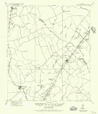 1919 Dime Box1956 Print · USGSLee County and the surrounding Texas Brazos Valley are shown here just after the Great War, during a period of shifting settlements. Genealogists can trace early homesteads and community hubs near Old Dime Box, Loebau, and Shady Grove School.
 - 1954 Map of Austin, 1964 Print
 1954 Austin1964 Print · USGSCentral Texas is captured during a period of steady growth as the capital city and its neighboring farm towns began to modernize. Researchers can trace historic rail corridors like the Southern Pacific RR or locate landmarks such as Bergstrom Air Force Base and Pilot Knob.4 unique versions available
 - 1960 Map of Deanville, 1963 Print
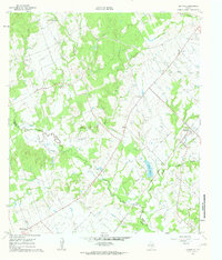 1960 Deanville1963 Print · USGSBurleson and Lee counties in the early sixties reveal a landscape of rural schoolhouses and family cemeteries along the railroad. Genealogists can locate Sulphur Spring School, San Antonio Prairie Cemetery, and the original site of Old Dime Box.3 unique versions available
 - 1993 Map of Brenham
 1993 Brenham1993 Print · USGSTexas river country and the birthplace of the republic are showcased in the early nineties, centered on the confluence of the Brazos and Navasota. Researchers can trace the rail sidings of the Southern Pacific RR and locate historic community landmarks like St Paul Ch and Washington-on-the-Brazos State Park.
 - 2010 Map of Deanville, 2010 Print
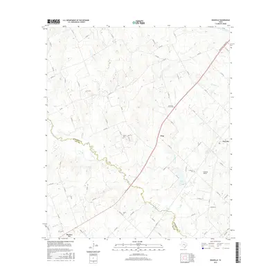
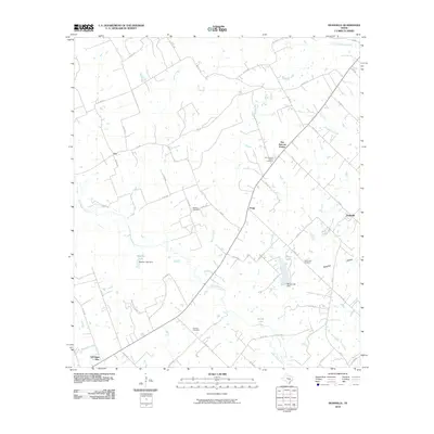 2010 Deanville2010 Print · USGSCovers San Antonio Prairie, including Old Dime Box, Hogg, and other nearby areas
 - 2013 Map of Deanville, 2013 Print
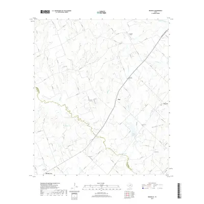
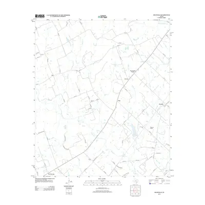 2013 Deanville2013 Print · USGSCovers San Antonio Prairie, including Old Dime Box, Hogg, and other nearby areas
 - 2016 Map of Deanville, 2016 Print
 2016 Deanville2016 Print · USGSCovers San Antonio Prairie, including Old Dime Box, Hogg, and other nearby areas
 - 2019 Map of Deanville, 2019 Print
 2019 Deanville2019 Print · USGSCovers San Antonio Prairie, including Old Dime Box, Hogg, and other nearby areas
 - 2022 Map of Deanville, 2022 Print
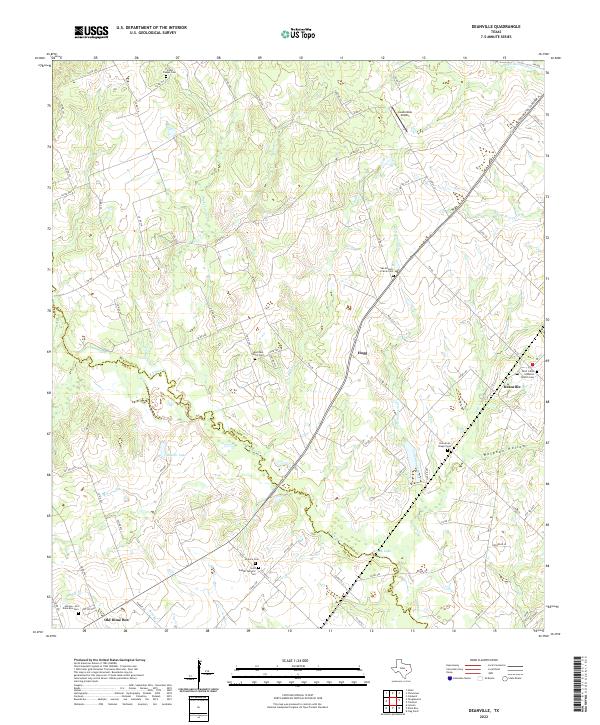 2022 Deanville2022 Print · USGSThe Burleson and Lee County line meanders through this agricultural region during the early twenty-first century. Genealogists can trace family names at several rural sites, including Saint Johns Lutheran Church Cem, Hranice Cem, and the Hannes - Old Dime Box Cem.
End of results
Showing maps 1-9 of 9
Top cities near San Antonio Prairie
Frequently asked questions
- What are the different types of historical maps available for San Antonio Prairie?
- What is the oldest map of San Antonio Prairie?
- Where can I purchase historical maps of San Antonio Prairie for my home or office?
- Where can I download high-res historical maps of San Antonio Prairie?
- Are there historical topographic maps available for San Antonio Prairie?
- Is there historical aerial imagery available for San Antonio Prairie?
- Where are historical maps of San Antonio Prairie sourced from?