2000s (21st Century) Maps of Encantada-Ranchito El Calaboz, Texas
Explore 6 historic maps of Encantada-Ranchito El Calaboz from the 2000s (21st Century). These maps offer a rare glimpse into what life looked like during the 2000s — showing old roads, neighborhoods, homes, and landmarks that have changed or disappeared over time.
Whether you're researching your family's past, planning a metal detecting trip, or studying how Encantada-Ranchito El Calaboz's landscape evolved across the 2000s, these high-resolution maps are a powerful tool for exploring the history of this region.
- Focus on a specific era: All maps on this page are from the 2000s, giving you a focused view of this time period.
- See what’s changed: Compare century-old streets, trails, and buildings to today's modern landscape using overlays and satellite layers.
- Research with precision: Use these maps for genealogy, historical research, land use analysis, or educational projects.
- View, download, or print: Maps are fully viewable online in high resolution, and can be downloaded or printed for your own records.
Start exploring Encantada-Ranchito El Calaboz's history through authentic maps from the 2000s. This is your window into the past.
Encantada-Ranchito El Calaboz, TX maps
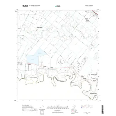
(6)- 2002 Map of La Paloma, 2003 Print
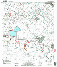 2002 La Paloma2003 Print · USGSThe Lower Rio Grande Valley at the turn of the millennium shows a landscape defined by international borders and river meanders. Genealogists can trace family footprints near La Paloma, Rangerville, and local landmarks like the La Encantada School.
 - 2010 Map of La Paloma, 2010 Print
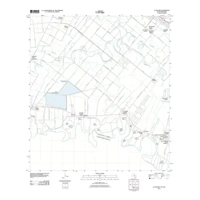 2010 La Paloma2010 Print · USGSCovers Encantada-Ranchito El Calaboz, including Brownsville, Harlingen, and other nearby areas
 - 2013 Map of La Paloma, 2013 Print
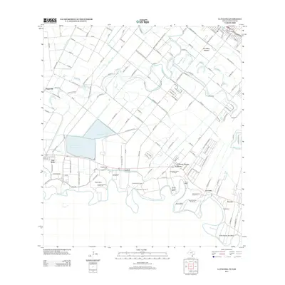 2013 La Paloma2013 Print · USGSCovers Encantada-Ranchito El Calaboz, including Brownsville, Harlingen, and other nearby areas
 - 2016 Map of La Paloma, 2016 Print
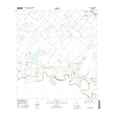 2016 La Paloma2016 Print · USGSCovers Encantada-Ranchito El Calaboz, including Brownsville, Harlingen, and other nearby areas
 - 2019 Map of La Paloma, 2019 Print
 2019 La Paloma2019 Print · USGSCovers Encantada-Ranchito El Calaboz, including Brownsville, Harlingen, and other nearby areas
 - 2022 Map of La Paloma, 2022 Print
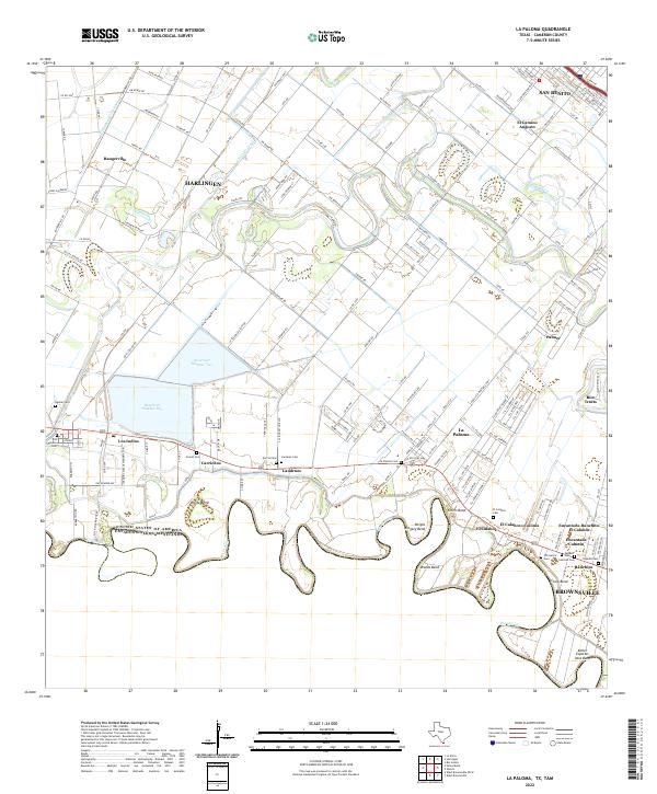 2022 La Paloma2022 Print · USGSThe Rio Grande Valley near the border at the start of the 2020s shows a complex landscape of irrigation and traditional settlements. Genealogists can trace family heritage through numerous rural burial sites like Zepeda Cem, Landrum Cem, and Aguilar Cem.
End of results
Showing maps 1-6 of 6
Top cities near Encantada-Ranchito El Calaboz
- Brownsville historical maps
- Harlingen historical maps
- San Benito historical maps
- La Feria historical maps
- Cameron Park historical maps
- Los Fresnos historical maps
See more
Frequently asked questions
- What are the different types of historical maps available for Encantada-Ranchito El Calaboz?
- What is the oldest map of Encantada-Ranchito El Calaboz?
- Where can I purchase historical maps of Encantada-Ranchito El Calaboz for my home or office?
- Where can I download high-res historical maps of Encantada-Ranchito El Calaboz?
- Are there historical topographic maps available for Encantada-Ranchito El Calaboz?
- Is there historical aerial imagery available for Encantada-Ranchito El Calaboz?
- Where are historical maps of Encantada-Ranchito El Calaboz sourced from?