Old Maps of Griffin, Texas for Academic Research
Study the evolution of Griffin with 12 high-resolution historic maps. Whether you're teaching, researching, or modeling changes in land use, these maps provide essential visual documentation of urban, environmental, and geographic change.
- Analyze long-term change: Track patterns in development, transportation, and natural features.
- Ideal for environmental or urban studies: Support academic projects with primary historical map data.
- Use in the classroom or lab: Educators and researchers rely on these maps to bring historical context to life.
These maps are a powerful tool for teaching, research, and visualizing how Griffin has changed over the decades.
Griffin, TX maps
(12)- 1937 Map of Troupe
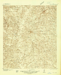 1937 Troupe1937 Print · USGSEast Texas oil and rail culture are on full display in the 1930s as the Missouri Pacific railroad connects rural communities. Local historians can trace the foundations of the regional economy through sites like the Sun Oil Camp, St Clair City, and Henry's Chapel.
 - 1943 Map of Troup
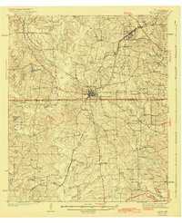 1943 Troup1943 Print · USGSEast Texas agriculture and rail towns thrive in the late 1930s along the Smith and Cherokee County line. Family historians can trace rural roots through numerous landmarks like Tecula Cem, Walnut Grove Ch, and Enterprise Sch.3 unique versions available
 - 1956 Map of Tyler
 1956 Tyler1956 Print · USGSEast Texas was a powerhouse of oil production and rail transport during the mid-fifties, centered on the sprawling East Texas Oil Field. Researchers can trace the heritage of industrial hubs like Kilgore, military sites such as the Longhorn Ordnance Works, and many rural landmarks like Mount Enterprise.5 unique versions available
 - 1973 Map of Griffin, 1977 Print
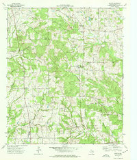 1973 Griffin1977 Print · USGSCherokee County in the early 1970s remains a landscape of rural communities and winding creek branches. Researchers can trace family history through sites like Knoxville Cemetery, Henrys Chapel, and the small settlement of Blackjack.
 - 1984 Map of Tyler
 1984 Tyler1984 Print · USGSEast Texas at the peak of its reservoir-building era shows a landscape defined by new lakes and established rail corridors. Trace the path of the St Louis Southwestern RR or locate industrial sites like the Longhorn Ordnance Works.3 unique versions available
 - 1985 Map of Tyler
 1985 Tyler1985 Print · USGSEast Texas in the mid-eighties centers on the growth of Tyler and the expansive waters of Lake Palestine. Genealogists and researchers can trace family landmarks like Henry's Chapel and Browning Cem alongside the routes of the Southern Pacific RR.
 - 1991 Map of Tyler
 1991 Tyler1991 Print · USGSEast Texas in the early nineties centered on the expansion of Tyler and the recreational draw of Lake Palestine. Researchers can trace the layout of smaller communities like Ben Wheeler, Frankston, and Troup as they existed before modern suburban growth.
 - 2010 Map of Griffin, 2010 Print
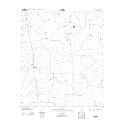
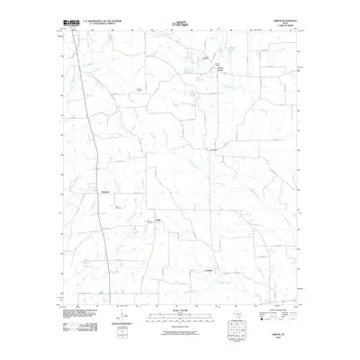 2010 Griffin2010 Print · USGSCovers Griffin, including Blackjack, Concord, and other nearby areas
 - 2012 Map of Griffin, 2012 Print
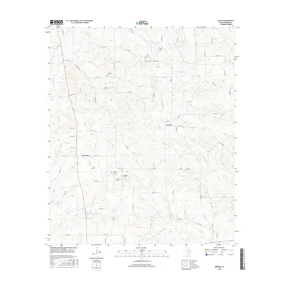
 2012 Griffin2012 Print · USGSCovers Griffin, including Blackjack, Concord, and other nearby areas
 - 2016 Map of Griffin, 2016 Print
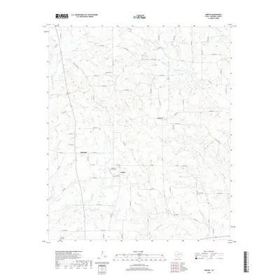
 2016 Griffin2016 Print · USGSCovers Griffin, including Blackjack, Concord, and other nearby areas
 - 2019 Map of Griffin, 2019 Print
 2019 Griffin2019 Print · USGSCovers Griffin, including Blackjack, Concord, and other nearby areas
 - 2022 Map of Griffin, 2022 Print
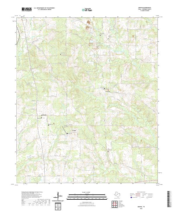 2022 Griffin2022 Print · USGSCherokee County at the start of the 2020s remains a landscape of quiet rural settlements and deep family history. Genealogists can trace local lineages through Knoxville Cem, the Fitch Family Cem, and the community of Griffin.
End of results
Showing maps 1-12 of 12
Top cities near Griffin
- Tyler historical maps
- Jacksonville historical maps
- Whitehouse historical maps
- Rusk historical maps
- Bullard historical maps
- Overton historical maps
See more
Frequently asked questions
- What are the different types of historical maps available for Griffin?
- What is the oldest map of Griffin?
- Where can I purchase historical maps of Griffin for my home or office?
- Where can I download high-res historical maps of Griffin?
- Are there historical topographic maps available for Griffin?
- Is there historical aerial imagery available for Griffin?
- Where are historical maps of Griffin sourced from?