Old Maps of Maydelle, Texas for Academic Research
Study the evolution of Maydelle with 11 high-resolution historic maps. Whether you're teaching, researching, or modeling changes in land use, these maps provide essential visual documentation of urban, environmental, and geographic change.
- Analyze long-term change: Track patterns in development, transportation, and natural features.
- Ideal for environmental or urban studies: Support academic projects with primary historical map data.
- Use in the classroom or lab: Educators and researchers rely on these maps to bring historical context to life.
These maps are a powerful tool for teaching, research, and visualizing how Maydelle has changed over the decades.
Maydelle, TX maps
(11)- 1951 Map of Jacksonville, 1952 Print
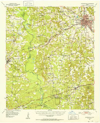 1951 Jacksonville1952 Print · USGSCherokee County thrived as a railroad and collegiate center at the midpoint of the century. Genealogists and historians can trace family roots through numerous rural landmarks like West Shady Grove Cem, Mewshaw, and the Maydelle community.2 unique versions available
 - 1953 Map of Palestine, 1964 Print
 1953 Palestine1964 Print · USGSEast Texas was defined by its deep pine forests and burgeoning energy sector in the mid-1950s. Genealogists and historians can trace the rail-and-river economy through settlements like Tennessee Colony and Pollok or explore the early footprints of the Cayuga Oil Field and Davy Crockett National Forest.2 unique versions available
 - 1957 Map of Palestine
 1957 Palestine1957 Print · USGSEast Texas in the mid-fifties reveals a landscape of deep pine forests and winding river valleys before the era of massive reservoir construction. Researchers can trace the legacy of the timber and rail industries through labels for the Missouri Pacific RR, Davy Crockett National Forest, and Nacogdoches.
 - 1981 Map of Palestine
 1981 Palestine1981 Print · USGSEast Texas was a crossroads of timber, rail, and energy in the early eighties, centered on the bustling junction at Palestine. Researchers can trace family roots through rural landmarks like Old Pioneer Cem, Lynch Academy, and Hudson Chapel.
 - 1982 Map of Maydelle
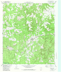 1982 Maydelle1982 Print · USGSCherokee County at the start of the eighties shows a landscape deeply integrated with the timber industry and historic rail lines. Researchers can trace the path of the Texas State Railroad through Maydelle or locate local landmarks like Roach Town and Holleman Chapel.
 - 1984 Map of Palestine
 1984 Palestine1984 Print · USGSEast Texas in the mid-eighties reveals a landscape of massive reservoirs and protected timberlands between Palestine and Nacogdoches. Researchers can trace old routes like the Missouri Pacific RR and locate rural communities such as Tennessee Colony, Latexo, and Etoile.3 unique versions available
 - 2010 Map of Maydelle, 2010 Print
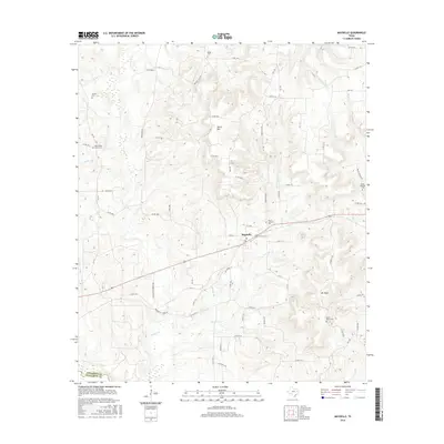
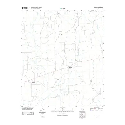 2010 Maydelle2010 Print · USGSCovers Maydelle, including Java, Mewshaw, and other nearby areas
 - 2013 Map of Maydelle, 2013 Print
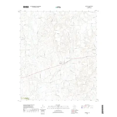
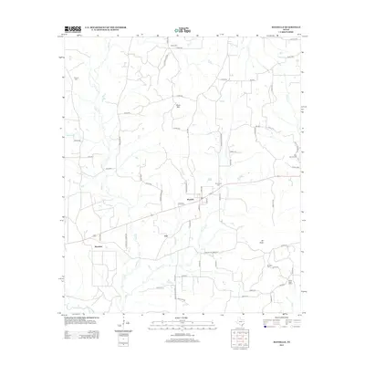 2013 Maydelle2013 Print · USGSCovers Maydelle, including Java, Mewshaw, and other nearby areas
 - 2016 Map of Maydelle, 2016 Print
 2016 Maydelle2016 Print · USGSCovers Maydelle, including Java, Mewshaw, and other nearby areas
 - 2019 Map of Maydelle, 2019 Print
 2019 Maydelle2019 Print · USGSCovers Maydelle, including Java, Mewshaw, and other nearby areas
 - 2022 Map of Maydelle, 2022 Print
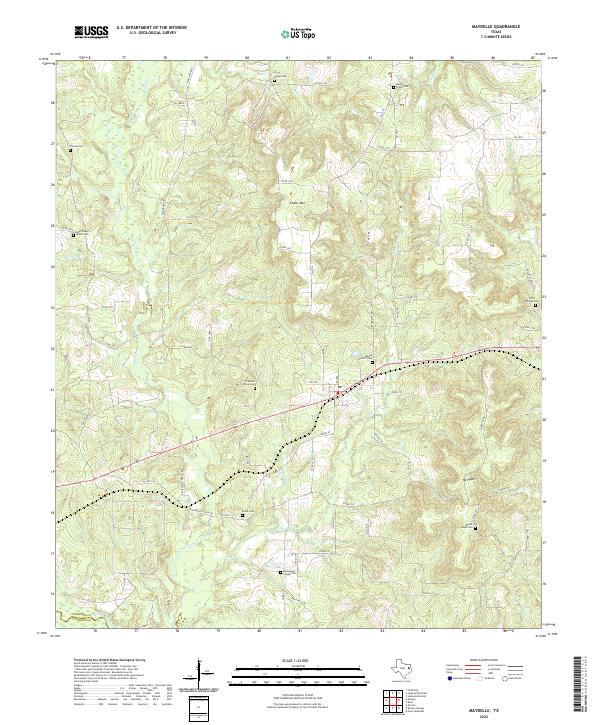 2022 Maydelle2022 Print · USGSDeep in the piney woods of East Texas, this modern survey shows a rural landscape where family history is etched into the terrain. Researchers can trace dozens of local burial sites, including Holleyman Chapel Cem, Roach Cem, and Mount Hope Cem.
End of results
Showing maps 1-11 of 11
Top cities near Maydelle
- Jacksonville historical maps
- Rusk historical maps
- Alto historical maps
- New Summerfield historical maps
- Gallatin historical maps
- Cuney historical maps
Frequently asked questions
- What are the different types of historical maps available for Maydelle?
- What is the oldest map of Maydelle?
- Where can I purchase historical maps of Maydelle for my home or office?
- Where can I download high-res historical maps of Maydelle?
- Are there historical topographic maps available for Maydelle?
- Is there historical aerial imagery available for Maydelle?
- Where are historical maps of Maydelle sourced from?