Old Maps of Joy, Texas for Genealogy
Trace your family roots with 9 historic maps of Joy. These high-res maps reveal old neighborhoods, homesites, landmarks, and streets — helping you uncover where your ancestors lived and how the area evolved over time.
- Explore historic neighborhoods: Identify where your relatives may have lived in the 1800s or 1900s.
- Compare maps over time: Trace the changes in streets, buildings, and landmarks for multi-generational research.
- Perfect for genealogy & ancestry research: Used by family historians and researchers to map out lineage and migration.
These maps are an incredible resource for exploring your personal connection to Joy's past.
Joy, TX maps
(9)- 1954 Map of Wichita Falls, 1966 Print
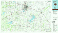
 1954 Wichita Falls1966 Print · USGSNorth Texas in the mid-fifties is captured here as a landscape of expanding oil fields and vital rail corridors. Genealogists and historians can trace family roots through rural landmarks like Bacon Chapel and the rail-side growth of Seymour and Archer City.3 unique versions available
 - 1958 Map of Wichita Falls
 1958 Wichita Falls1958 Print · USGSNorth Texas during the late fifties reveals a landscape defined by the booming petroleum industry and established rail hubs. Researchers can trace the development of Wichita Falls and discover rural landmarks like Barton's Chapel or the Hull-Silk Oil Field.
 - 1964 Map of Joy, 1967 Print
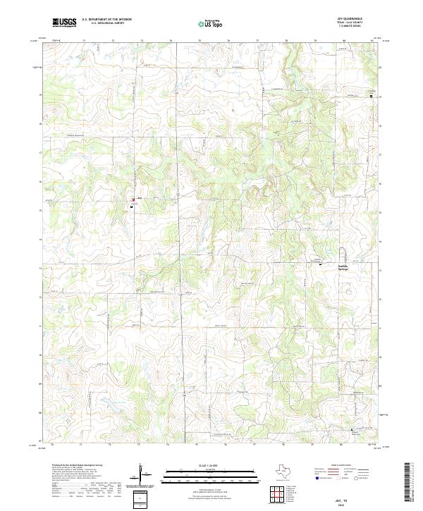
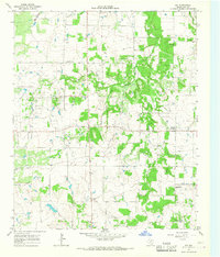 1964 Joy1967 Print · USGSClay County's ranching and petroleum landscape is captured here in the mid-1960s. Researchers can locate the Joy Oil Field and rural landmarks like Buffalo Springs, Friendship Cem, and the Pleasant Mound Ch.
 - 1985 Map of Wichita Falls
 1985 Wichita Falls1985 Print · USGSWichita Falls and the surrounding North Texas oil patches are captured here during a period of established energy production and military importance. Genealogists and historians can trace family-named sites and regional hubs like Sheppard Air Force Base, Electra, and Lake Arrowhead State Park.2 unique versions available
 - 2010 Map of Joy, 2010 Print
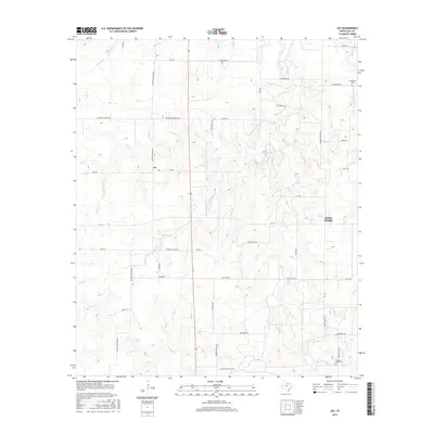
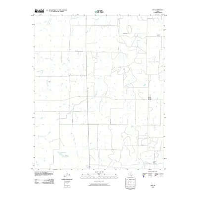 2010 Joy2010 Print · USGSCovers Joy, including Buffalo Springs, Clay County, and other nearby areas
 - 2012 Map of Joy, 2012 Print
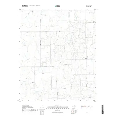
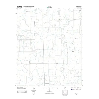 2012 Joy2012 Print · USGSCovers Joy, including Buffalo Springs, Clay County, and other nearby areas
 - 2016 Map of Joy, 2016 Print
 2016 Joy2016 Print · USGSCovers Joy, including Buffalo Springs, Clay County, and other nearby areas
 - 2019 Map of Joy, 2019 Print
 2019 Joy2019 Print · USGSCovers Joy, including Buffalo Springs, Clay County, and other nearby areas
 - 2022 Map of Joy, 2022 Print
 2022 Joy2022 Print · USGSClay County ranching and farming lands are documented here in the early twenty-first century. Family historians can trace ancestral locations near Joy and Buffalo Springs or locate rural burials at Friendship Cem and Joy Cem.
End of results
Showing maps 1-9 of 9
Top cities near Joy
Frequently asked questions
- What are the different types of historical maps available for Joy?
- What is the oldest map of Joy?
- Where can I purchase historical maps of Joy for my home or office?
- Where can I download high-res historical maps of Joy?
- Are there historical topographic maps available for Joy?
- Is there historical aerial imagery available for Joy?
- Where are historical maps of Joy sourced from?