2000s (21st Century) Maps of McKinney, Texas
Explore 25 historic maps of McKinney from the 2000s (21st Century). These maps offer a rare glimpse into what life looked like during the 2000s — showing old roads, neighborhoods, homes, and landmarks that have changed or disappeared over time.
Whether you're researching your family's past, planning a metal detecting trip, or studying how McKinney's landscape evolved across the 2000s, these high-resolution maps are a powerful tool for exploring the history of this region.
- Focus on a specific era: All maps on this page are from the 2000s, giving you a focused view of this time period.
- See what’s changed: Compare century-old streets, trails, and buildings to today's modern landscape using overlays and satellite layers.
- Research with precision: Use these maps for genealogy, historical research, land use analysis, or educational projects.
- View, download, or print: Maps are fully viewable online in high resolution, and can be downloaded or printed for your own records.
Start exploring McKinney's history through authentic maps from the 2000s. This is your window into the past.
McKinney, TX maps
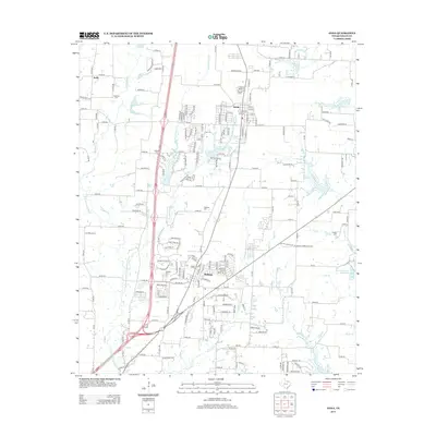
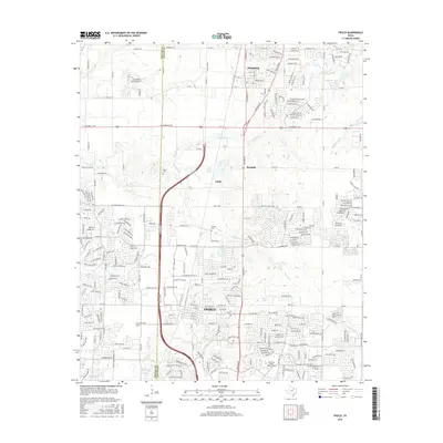
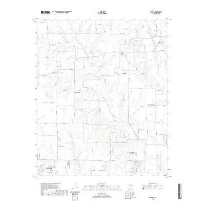
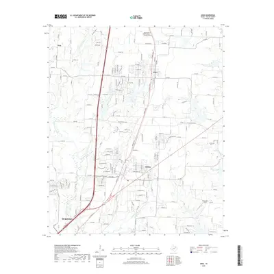
(25)- 2010 Map of Anna, 2010 Print
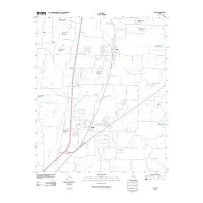 2010 Anna2010 Print · USGSCovers McKinney, including Anna, Melissa, and other nearby areas
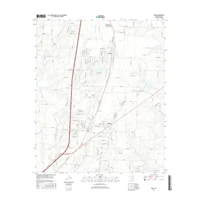
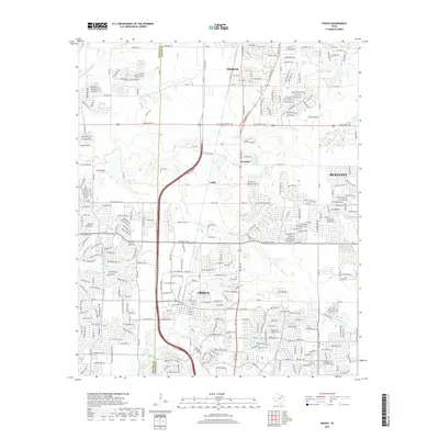
 - 2010 Map of Weston, 2010 Print
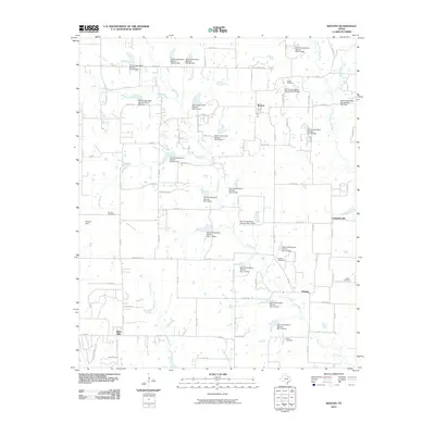 2010 Weston2010 Print · USGSCovers McKinney, including Prosper, Anna, and other nearby areas
 - 2010 Map of Frisco, 2010 Print
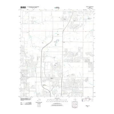 2010 Frisco2010 Print · USGSCovers McKinney, including Frisco, Prosper, and other nearby areas
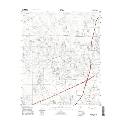
 - 2010 Map of McKinney West, 2010 Print
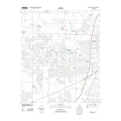 2010 McKinney West2010 Print · USGSCovers McKinney, including Plano, Frisco, and other nearby areas
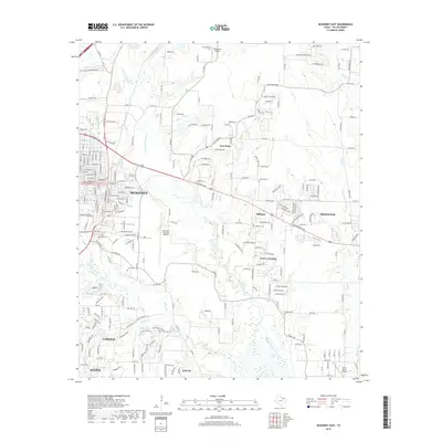
 - 2010 Map of McKinney East, 2010 Print
 2010 McKinney East2010 Print · USGSCovers McKinney, including Allen, Fairview, and other nearby areas
 - 2013 Map of Anna, 2013 Print
 2013 Anna2013 Print · USGSCovers McKinney, including Anna, Melissa, and other nearby areas
 - 2013 Map of Weston, 2013 Print
 2013 Weston2013 Print · USGSCovers McKinney, including Prosper, Anna, and other nearby areas
 - 2013 Map of McKinney West, 2013 Print
 2013 McKinney West2013 Print · USGSCovers McKinney, including Plano, Frisco, and other nearby areas
 - 2013 Map of McKinney East, 2013 Print
 2013 McKinney East2013 Print · USGSCovers McKinney, including Allen, Fairview, and other nearby areas
 - 2013 Map of Frisco, 2013 Print
 2013 Frisco2013 Print · USGSCovers McKinney, including Frisco, Prosper, and other nearby areas
 - 2016 Map of McKinney East, 2016 Print
 2016 McKinney East2016 Print · USGSCovers McKinney, including Allen, Fairview, and other nearby areas
 - 2016 Map of Weston, 2016 Print
 2016 Weston2016 Print · USGSCovers McKinney, including Prosper, Anna, and other nearby areas
 - 2016 Map of Frisco, 2016 Print
 2016 Frisco2016 Print · USGSCovers McKinney, including Frisco, Prosper, and other nearby areas
 - 2016 Map of Anna, 2016 Print
 2016 Anna2016 Print · USGSCovers McKinney, including Anna, Melissa, and other nearby areas
 - 2016 Map of McKinney West, 2016 Print
 2016 McKinney West2016 Print · USGSCovers McKinney, including Plano, Frisco, and other nearby areas
 - 2019 Map of Weston, 2019 Print
 2019 Weston2019 Print · USGSCovers McKinney, including Prosper, Anna, and other nearby areas
 - 2019 Map of McKinney East, 2019 Print
 2019 McKinney East2019 Print · USGSCovers McKinney, including Allen, Fairview, and other nearby areas
 - 2019 Map of McKinney West, 2019 Print
 2019 McKinney West2019 Print · USGSCovers McKinney, including Plano, Frisco, and other nearby areas
 - 2019 Map of Anna, 2019 Print
 2019 Anna2019 Print · USGSCovers McKinney, including Anna, Melissa, and other nearby areas
 - 2019 Map of Frisco, 2019 Print
 2019 Frisco2019 Print · USGSCovers McKinney, including Frisco, Prosper, and other nearby areas
 - 2022 Map of Anna, 2022 Print
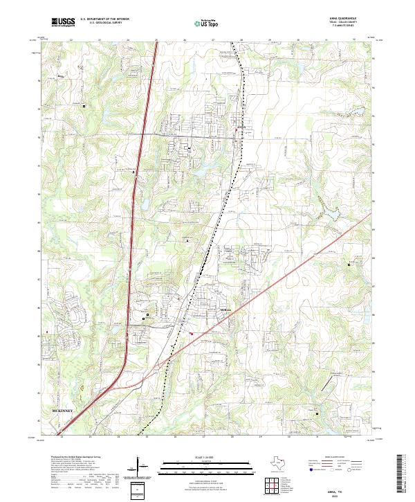 2022 Anna2022 Print · USGSCollin County's northward growth is detailed in this recent look at the rapidly developing communities of Anna and Melissa. Researchers can locate several historical burial sites including Saint Paul Cem and Brinlee Cem or trace the winding path of Stiff Cr.
 - 2022 Map of McKinney West, 2022 Print
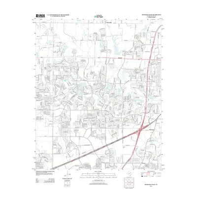
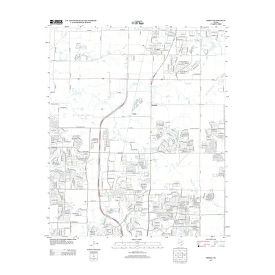
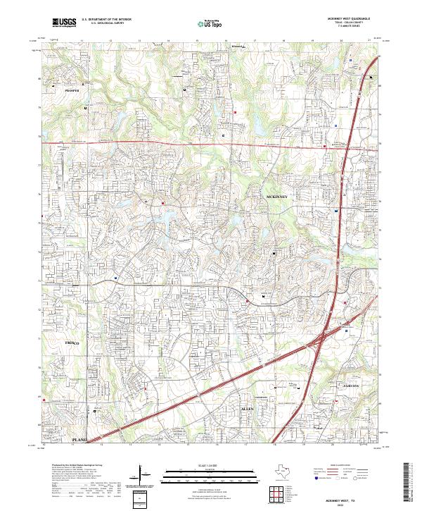 2022 McKinney West2022 Print · USGSNorthern Texas enters a period of intense suburban development as McKinney and Frisco expand toward one another. Genealogists can trace local roots at McLarry Cemetery and Williams Cemetery while following the path of Wilson Creek.
 - 2022 Map of Frisco, 2022 Print
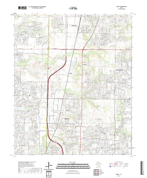 2022 Frisco2022 Print · USGSFrisco and Prosper are shown here during a period of intense suburban transformation in the early twenty-first century. Genealogists and local historians can locate early family sites like Landrum Cem and Smith Cem amidst the modern street grids of Frisco.
 - 2022 Map of Weston, 2022 Print
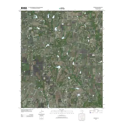
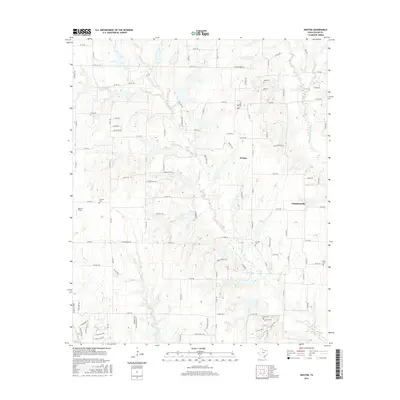
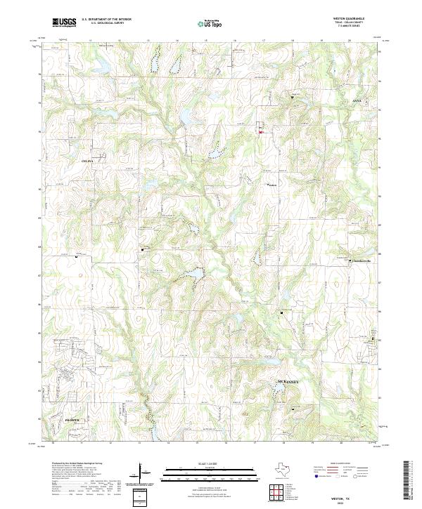 2022 Weston2022 Print · USGSCollin County's rural landscape is captured here in the early twenty-first century, showing the small communities of Weston and Chambersville. Genealogists can locate several family burial sites like Moore Family Cem and Cottage Hill Cem.
 - 2022 Map of McKinney East, 2022 Print
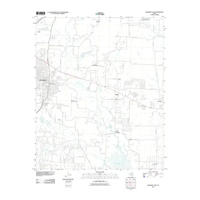
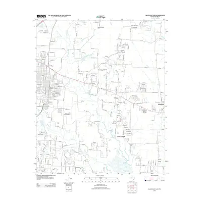
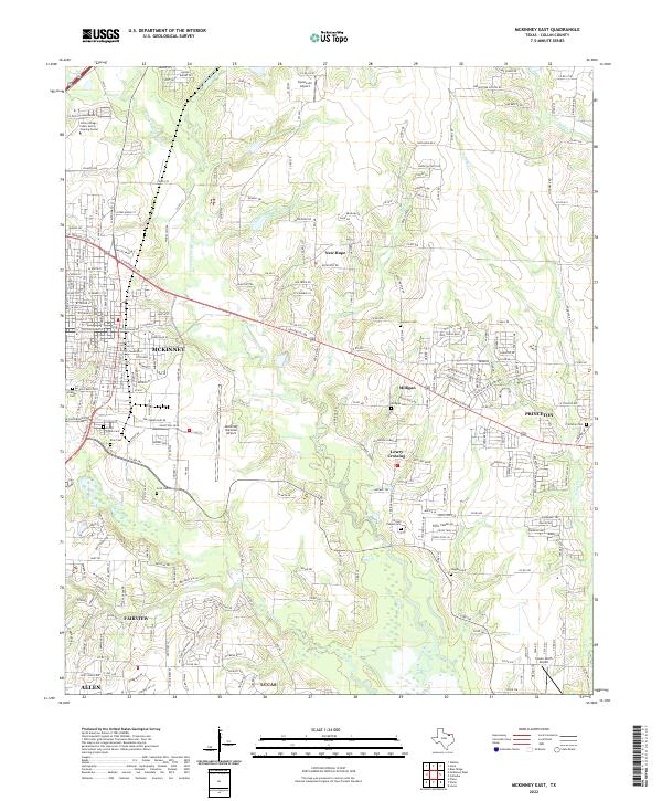 2022 McKinney East2022 Print · USGSCollin County's rapid development is on full display here in the early twenty-first century as the suburbs of McKinney and Princeton expand. Genealogists and local historians can trace legacy landmarks like Wilson Chapel Cem, Higgins Cem, and the old settlement of Lowry Crossing.
End of results
Showing maps 1-25 of 25
Top cities near McKinney
- Dallas historical maps
- Plano historical maps
- Frisco historical maps
- Carrollton historical maps
- Richardson historical maps
- Allen historical maps
See more
Top neighborhoods of McKinney
Frequently asked questions
- What are the different types of historical maps available for McKinney?
- What is the oldest map of McKinney?
- Where can I purchase historical maps of McKinney for my home or office?
- Where can I download high-res historical maps of McKinney?
- Are there historical topographic maps available for McKinney?
- Is there historical aerial imagery available for McKinney?
- Where are historical maps of McKinney sourced from?