Old Maps of Rolling Ridge Estates, Murphy for Hiking & Exploration
Hike through history with 17 historic maps of Rolling Ridge Estates. Explore old trails, ghost towns, and forgotten backroads — perfect for outdoor adventurers and local explorers.
- Rediscover forgotten places: Map out old mining camps, roads, and footpaths that no longer exist on modern maps.
- Layer with modern tools: Combine with LiDAR or satellite views to plan hikes through historical terrain.
- Made for exploration: Popular among hikers, overlanders, and local history lovers.
Use these maps to find adventure and explore the hidden past of Rolling Ridge Estates.
Rolling Ridge Estates, Murphy maps
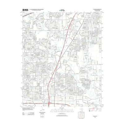
(17)- 1924 Map of Mc Kinney 4-d
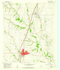
 1924 Mc Kinney 4-d1924 Print · USGSSouthern Collin County in the mid-twenties is a landscape of rural schools and vital rail connections centered on the junction at Wylie. Genealogists and researchers can trace the early footprints of settlements like Lucas and Murphy or locate vanished local landmarks such as Lone Elm School and Morris School.
 - 1929 Map of McKinney
 1929 McKinney1929 Print · USGSCollin County's rural landscape is captured here in the late twenties, before modern reservoirs reshaped the river valleys. Genealogists can trace early homesteads near local landmarks like Winningkoff Sch, Clear Lake Ch, and the rail junction at Wylie.2 unique versions available
 - 1954 Map of Sherman, 1964 Print
 1954 Sherman1964 Print · USGSThe Red River valley and North Texas plains are captured here in the mid-fifties, showing the region as new reservoirs like Lake Texoma and Lavon Reservoir reshaped the land. Genealogists can trace family roots through specific local landmarks like Courtney P O, Pilot Grove Sch, and New Hope Ch.2 unique versions available
 - 1958 Map of Sherman, 1959 Print
 1958 Sherman1959 Print · USGSNorth Texas and Southern Oklahoma were undergoing significant development in the late fifties as the Red River Valley transit networks matured. Researchers can trace historic family-named locations such as Saddler Bend, the grounds of Perrin AFB, and early shoreline developments at Lake Texoma.
 - 1959 Map of Wylie, 1961 Print
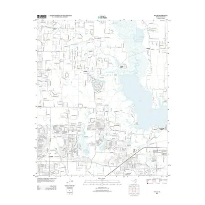
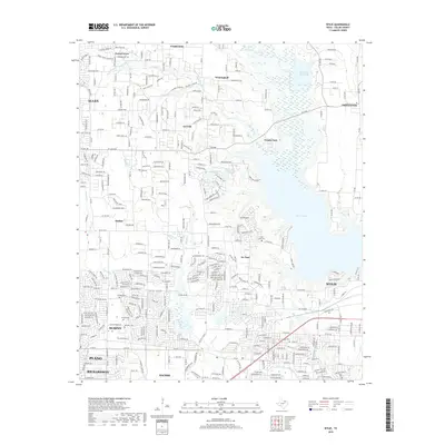
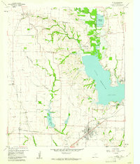 1959 Wylie1961 Print · USGSCollin County during the late fifties shows the rising importance of water management and rail transit in North Texas. Genealogists and local historians can locate many family sites, from the St Paul Cem to the railroad junction at Wylie and the community of Winningkoff.4 unique versions available
 - 1960 Map of Plano, 1961 Print
 1960 Plano1961 Print · USGSNorth Texas is documented here during the early sixties, showing Plano and Allen as distinct railroad towns before their modern suburban sprawl. Genealogists and local historians can trace the locations of Bethany Cem, Mutual Cem, and the Fanny Harrington Chapel.5 unique versions available
 - 1985 Map of McKinney
 1985 McKinney1985 Print · USGSNorth Texas in the mid-1980s was a landscape of rural communities connected by a complex web of railroads and creek systems. Researchers can trace family roots through settlements like Westminster, find local landmarks like Henslee Chapel, or map the industrial activity at various Gravel Pits.2 unique versions available
 - 2010 Map of Wylie, 2010 Print
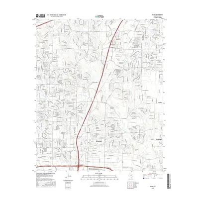
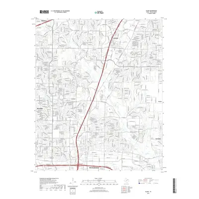
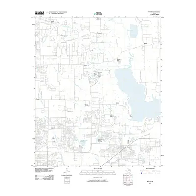 2010 Wylie2010 Print · USGSCovers Rolling Ridge Estates, including Plano, Richardson, and other nearby areas
 - 2010 Map of Plano, 2010 Print
 2010 Plano2010 Print · USGSCovers Rolling Ridge Estates, including Plano, Frisco, and other nearby areas
 - 2013 Map of Plano, 2013 Print
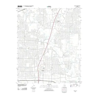
 2013 Plano2013 Print · USGSCovers Rolling Ridge Estates, including Plano, Frisco, and other nearby areas
 - 2013 Map of Wylie, 2013 Print
 2013 Wylie2013 Print · USGSCovers Rolling Ridge Estates, including Plano, Richardson, and other nearby areas
 - 2016 Map of Wylie, 2016 Print
 2016 Wylie2016 Print · USGSCovers Rolling Ridge Estates, including Plano, Richardson, and other nearby areas
 - 2016 Map of Plano, 2016 Print
 2016 Plano2016 Print · USGSCovers Rolling Ridge Estates, including Plano, Frisco, and other nearby areas
 - 2019 Map of Plano, 2019 Print
 2019 Plano2019 Print · USGSCovers Rolling Ridge Estates, including Plano, Frisco, and other nearby areas
 - 2019 Map of Wylie, 2019 Print
 2019 Wylie2019 Print · USGSCovers Rolling Ridge Estates, including Plano, Richardson, and other nearby areas
 - 2022 Map of Wylie, 2022 Print
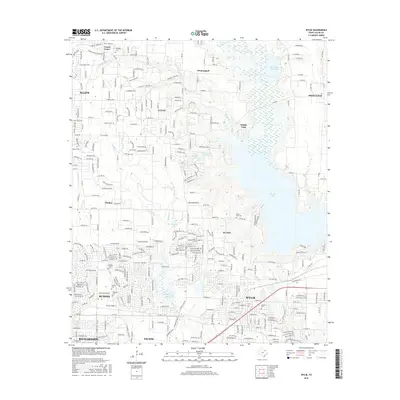
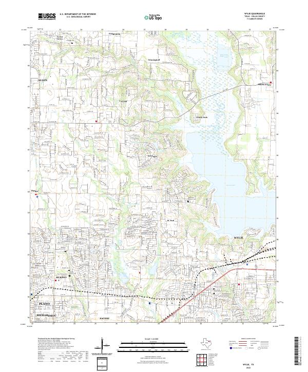 2022 Wylie2022 Print · USGSCollin County enters a period of significant suburban development in the early 2020s as residential tracts surround the shores of Lavon Lake. Researchers can locate numerous local landmarks including Fitzhugh Cem, Winningkoff, and the Saint Paul Catholic Cem.
 - 2022 Map of Plano, 2022 Print
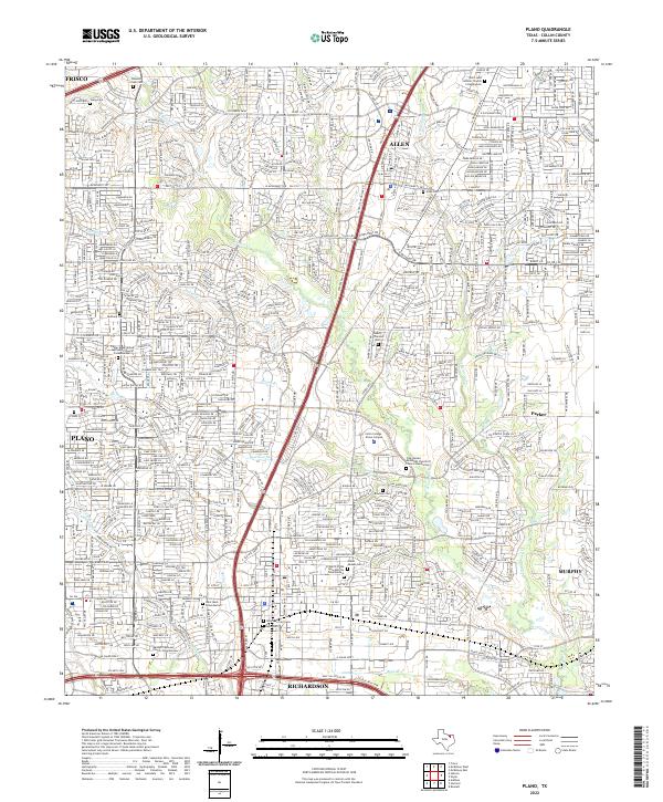 2022 Plano2022 Print · USGSCollin County's rapid suburban growth is visible here during the early twenty-first century as cities like Plano and Allen expand along the Central Expy. Genealogists can locate several historic burial sites among the modern streets, including Old Plano City Cem Davis Cem and Bethany Cem.
End of results
Showing maps 1-17 of 17
Frequently asked questions
- What are the different types of historical maps available for Rolling Ridge Estates?
- What is the oldest map of Rolling Ridge Estates?
- Where can I purchase historical maps of Rolling Ridge Estates for my home or office?
- Where can I download high-res historical maps of Rolling Ridge Estates?
- Are there historical topographic maps available for Rolling Ridge Estates?
- Is there historical aerial imagery available for Rolling Ridge Estates?
- Where are historical maps of Rolling Ridge Estates sourced from?