Old Maps of Spring Branch, Texas for Genealogy
Trace your family roots with 20 historic maps of Spring Branch. These high-res maps reveal old neighborhoods, homesites, landmarks, and streets — helping you uncover where your ancestors lived and how the area evolved over time.
- Explore historic neighborhoods: Identify where your relatives may have lived in the 1800s or 1900s.
- Compare maps over time: Trace the changes in streets, buildings, and landmarks for multi-generational research.
- Perfect for genealogy & ancestry research: Used by family historians and researchers to map out lineage and migration.
These maps are an incredible resource for exploring your personal connection to Spring Branch's past.
Spring Branch, TX maps
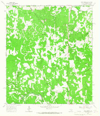
(20)- 1920 Map of Smithsons Valley
 1920 Smithsons Valley1920 Print · USGSThe Texas Hill Country comes alive in this 1920s-era survey of the Guadalupe River valley. Genealogists and local historians can trace early family outposts and commerce at Fischers Store, Cranes Mill, and Wesson P.O.
 - 1927 Map of Smithson Valley
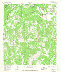
 1927 Smithson Valley1927 Print · USGSThe Texas Hill Country comes to life in the mid-1920s, showing the Guadalupe River valley decades before it was altered by Canyon Lake. Researchers can trace rural landmarks like Fischer Store, the Rebecca Creek School, and Cranes Mill.
 - 1929 Map of Smithson Valley, 1958 Print
 1929 Smithson Valley1958 Print · USGSCentral Texas Hill Country life in the late 1920s centered on the river and the road. Genealogists can trace early homesteads near Fischer Store, Anhalt, and rural schoolhouses like Smithson Valley School.
 - 1940 Map of Smithson Valley
 1940 Smithson Valley1940 Print · USGSComal County's Hill Country comes into focus during the late twenties and thirties, showing a landscape of family ranches and rural schoolhouses. Researchers can trace ancestral tracts belonging to Alex Scheel or G. Krause and locate landmarks like Anhalt or Fischer Store.2 unique versions available
 - 1954 Map of San Antonio, 1964 Print
 1954 San Antonio1964 Print · USGSSan Antonio and the Texas Hill Country are captured here in the mid-fifties, showing a landscape defined by massive military air bases and the rising Canyon Reservoir. Trace family ties through historic rail towns like D'Hanis and Castroville or explore the Cold War footprint of Lackland AFB and Randolph AFB.3 unique versions available
 - 1957 Map of San Antonio
 1957 San Antonio1957 Print · USGSSan Antonio and the Texas Hill Country are shown here during the mid-fifties, capturing the region's expanding post-war military and transportation footprint. Genealogists and local historians can trace the early residential boundaries of Alamo Heights or locate rural landmarks like St Hedwig and Medina Lake.
 - 1964 Map of Spring Branch, 1967 Print
 1964 Spring Branch1967 Print · USGSTexas hill country life in the mid-1960s is centered here on the Guadalupe River and the settlement of Spring Branch. You can trace rural landmarks from the Spring Branch PO to the Twin Sisters peaks and the small community of Knibbe.2 unique versions available
 - 1964 Map of Anhalt, 1968 Print
 1964 Anhalt1968 Print · USGSComal County rural life in the mid-1960s is preserved here, showing the Texas Hill Country's network of family homesteads and local creeks. Genealogists can trace family lines through sites like Beierle Cem, St Joseph Chapel, and Farmers Hall.3 unique versions available
 - 1985 Map of New Braunfels
 1985 New Braunfels1985 Print · USGSThe Texas Hill Country meets the growing San Antonio suburbs in the mid-1980s, showing a landscape of river-fed towns and military grounds. Trace family roots in historic Gruene or Boerne, and locate landmarks like Canyon Lake and Randolph Air Force Base.
 - 1992 Map of New Braunfels
 1992 New Braunfels1992 Print · USGSThe San Antonio and New Braunfels corridor was expanding rapidly in the early nineties, balancing heavy military presence with Hill Country recreation. Trace the footprint of CAMP BULLIS MILITARY RESERVATION or locate old railroad stops along the Southern Pacific and Missouri Pacific lines.2 unique versions available
 - 2010 Map of Anhalt, 2010 Print
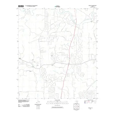 2010 Anhalt2010 Print · USGSCovers Spring Branch, including Bulverde, Anhalt, and other nearby areas
 - 2010 Map of Spring Branch, 2010 Print
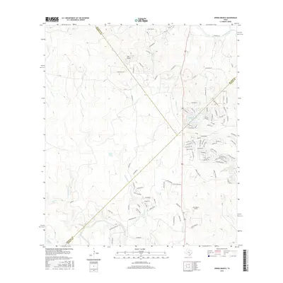
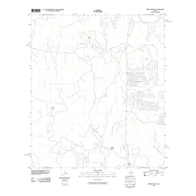 2010 Spring Branch2010 Print · USGSCovers Spring Branch, including Hodge's Mill, Comal County, and other nearby areas
 - 2013 Map of Anhalt, 2013 Print
 2013 Anhalt2013 Print · USGSCovers Spring Branch, including Bulverde, Anhalt, and other nearby areas
 - 2013 Map of Spring Branch, 2013 Print
 2013 Spring Branch2013 Print · USGSCovers Spring Branch, including Hodge's Mill, Comal County, and other nearby areas
 - 2016 Map of Anhalt, 2016 Print
 2016 Anhalt2016 Print · USGSCovers Spring Branch, including Bulverde, Anhalt, and other nearby areas
 - 2016 Map of Spring Branch, 2016 Print
 2016 Spring Branch2016 Print · USGSCovers Spring Branch, including Hodge's Mill, Comal County, and other nearby areas
 - 2019 Map of Spring Branch, 2019 Print
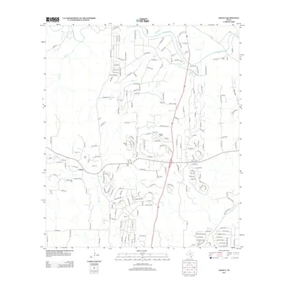
 2019 Spring Branch2019 Print · USGSCovers Spring Branch, including Hodge's Mill, Comal County, and other nearby areas
 - 2019 Map of Anhalt, 2019 Print
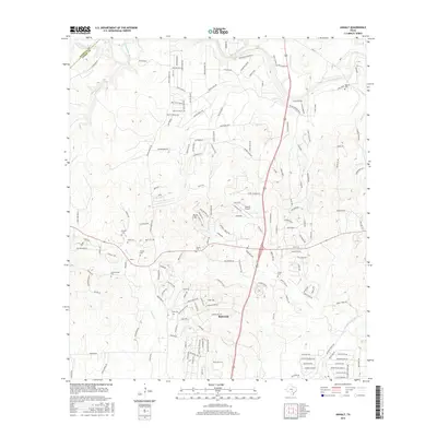
 2019 Anhalt2019 Print · USGSCovers Spring Branch, including Bulverde, Anhalt, and other nearby areas
 - 2022 Map of Anhalt, 2022 Print
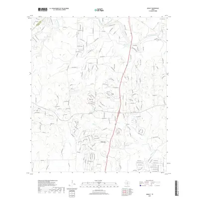
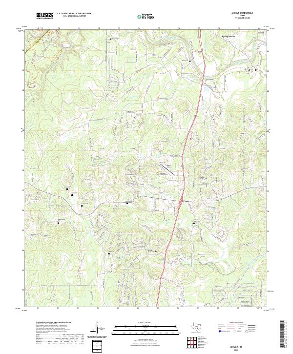 2022 Anhalt2022 Print · USGSBulverde and Comal County are shown here in the modern era, revealing a landscape where growing development meets deep-rooted family history. Local researchers can trace family-named sites like Kabelmacher Cem and Koch Cem or explore the Guadalupe River corridor.
 - 2022 Map of Spring Branch, 2022 Print
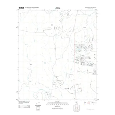
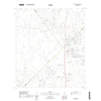
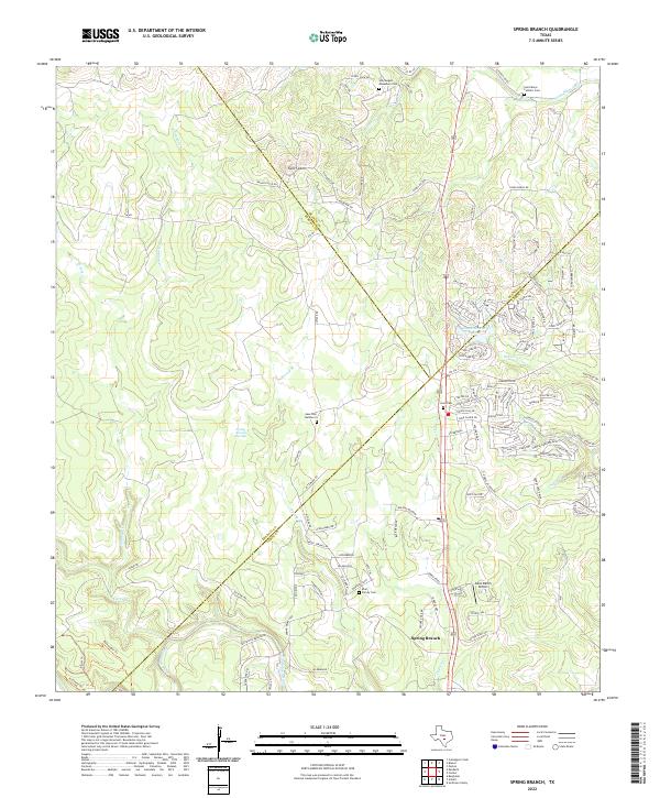 2022 Spring Branch2022 Print · USGSThe Texas Hill Country comes into focus here during the early twenty-first century, showing the intersection of Comal, Kendall, and Blanco Counties. Researchers can trace family-named sites like Ebel Family Cem or find local landmarks such as Twin Sisters and the Dean Ranch Airport.
End of results
Showing maps 1-20 of 20
Top cities near Spring Branch
- San Antonio historical maps
- New Braunfels historical maps
- Fair Oaks Ranch historical maps
- Bulverde historical maps
- Garden Ridge historical maps
- Blanco historical maps
See more
Frequently asked questions
- What are the different types of historical maps available for Spring Branch?
- What is the oldest map of Spring Branch?
- Where can I purchase historical maps of Spring Branch for my home or office?
- Where can I download high-res historical maps of Spring Branch?
- Are there historical topographic maps available for Spring Branch?
- Is there historical aerial imagery available for Spring Branch?
- Where are historical maps of Spring Branch sourced from?