Old Maps of Ozona, Texas for Hiking & Exploration
Hike through history with 9 historic maps of Ozona. Explore old trails, ghost towns, and forgotten backroads — perfect for outdoor adventurers and local explorers.
- Rediscover forgotten places: Map out old mining camps, roads, and footpaths that no longer exist on modern maps.
- Layer with modern tools: Combine with LiDAR or satellite views to plan hikes through historical terrain.
- Made for exploration: Popular among hikers, overlanders, and local history lovers.
Use these maps to find adventure and explore the hidden past of Ozona.
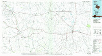
Ozona, TX maps
(9)- 1954 Map of Sonora, 1965 Print
 1954 Sonora1965 Print · USGSThe Edwards Plateau and West Texas ranching country come alive in this mid-century survey of the canyons and plateaus. Genealogists and historians can trace the remote settlements of Pandale and Loma Alta or follow the path of the Panhandle and Santa Fe RR.2 unique versions available
 - 1958 Map of Sonora
 1958 Sonora1958 Print · USGSThe Edwards Plateau and Trans-Pecos region come alive in the late fifties, showing a landscape of remote ranchlands and historic frontier outposts. Trace the legacy of Fort Lancaster Ruins, the limestone depths of Devils Sinkhole Cavern, and the path of the Pecos River.
 - 1967 Map of Ozona, 1970 Print
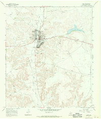 1967 Ozona1970 Print · USGSOzona is captured here in the late sixties as a bustling West Texas county seat defined by its gas fields and dry draws. Researchers can trace the development of the town's core near Cedar Hill Cem or locate industrial sites within the Ozona Gas Field.2 unique versions available
 - 1985 Map of Ozona
 1985 Ozona1985 Print · USGSCrockett County in the mid-eighties was a land of sprawling oil fields and high desert plateaus. Genealogists and local historians can trace the foundations of Fort Lancaster (Ruins) and follow the vital watercourse of the Pecos River near Sheffield.2 unique versions available
 - 2010 Map of Ozona, 2010 Print
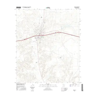
 2010 Ozona2010 Print · USGSCovers Ozona, including Crockett County, United States, and other nearby areas
 - 2012 Map of Ozona, 2012 Print
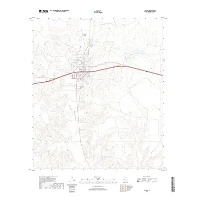
 2012 Ozona2012 Print · USGSCovers Ozona, including Crockett County, United States, and other nearby areas
 - 2016 Map of Ozona, 2016 Print
 2016 Ozona2016 Print · USGSCovers Ozona, including Crockett County, United States, and other nearby areas
 - 2019 Map of Ozona, 2019 Print
 2019 Ozona2019 Print · USGSCovers Ozona, including Crockett County, United States, and other nearby areas
 - 2022 Map of Ozona, 2022 Print
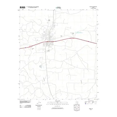
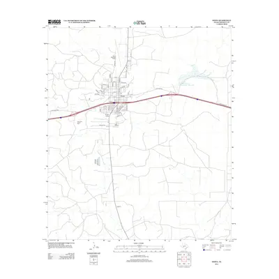
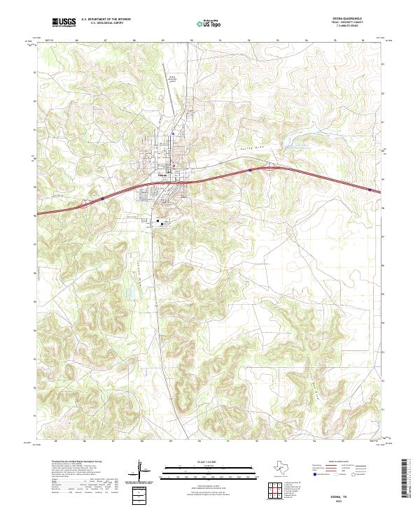 2022 Ozona2022 Print · USGSOzona sits at a crossroads of the West Texas high plains in the early twenty-first century, serving as the seat of Crockett County. Genealogists and local historians can locate the Crockett County Courthouse and trace burials at Cedar Hill Cem and Lima Cem.
End of results
Showing maps 1-9 of 9
Frequently asked questions
- What are the different types of historical maps available for Ozona?
- What is the oldest map of Ozona?
- Where can I purchase historical maps of Ozona for my home or office?
- Where can I download high-res historical maps of Ozona?
- Are there historical topographic maps available for Ozona?
- Is there historical aerial imagery available for Ozona?
- Where are historical maps of Ozona sourced from?