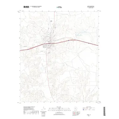
2019 Map of Ozona
USGS Topo · Published 2019About this map
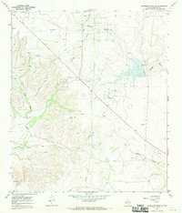
Ozona serves as the focal point of this Crockett County survey, showing a structured grid of residential streets and arterial roads in the high desert of West Texas. The map details the local infrastructure, including the Ozona Municipal Airport to the north and the expansive Cedar Hill Cem south of the central business district. The landscape is defined by its drainage patterns, with Gurley Draw, Johnson Draw, and Live Oak Draw cutting through the arid terrain. To the northeast, the Soil Conservation Service Site 7 Reservoir indicates modern water management efforts in this dry region. Transportation corridors like Ranch Rd 2398 and Hillcrest Ave connect the town to the surrounding ranching country, while family-named streets such as Martinez St and Silas St highlight the local community structure.
Find a feature on this map
39 named features on this map. Tap any name to fly to it.
Don’t see what you’re looking for? This feature index may not catch every label — zoom into the map to look around manually.
Map Details
Editions of this 2019 Ozona Map
This is the sole edition of this map. No revisions or reprints were ever made.
Other maps of this area

1954 · Sonora
USGS Topo · 1:250,000

1958 · Sonora
USGS Topo · 1:250,000
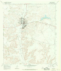
1967 · Ozona
USGS Topo · 1:24,000
1967 · Baggett Ranch
USGS Topo · 1:24,000
1967 · Double Mill Draw SE
USGS Topo · 1:24,000
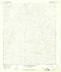
1967 · Ozona SE
USGS Topo · 1:24,000
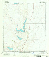
1967 · Indio Hill
USGS Topo · 1:24,000
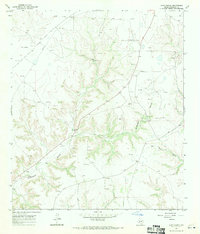
1967 · Hunt Ranch
USGS Topo · 1:24,000
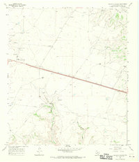
1967 · Crockett Heights
USGS Topo · 1:24,000
1967 · Schneeman Draw SE
USGS Topo · 1:24,000