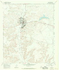
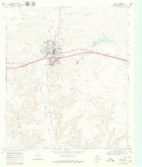
1967 Map of Ozona
USGS Topo · Published 1970About this map
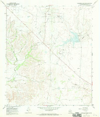
Ozona serves as the focal point of this Crockett County landscape, situated at the confluence of several significant drainage features including Johnson Draw, Gurley Draw, and Live Oak Draw. During the late 1960s, the town's role as a regional hub is evident through its infrastructure, which includes the County Hospital, Ozona Airfield, and an active Fairground. The surrounding terrain is heavily influenced by the energy sector, dominated by the sprawling Ozona Gas Field and numerous gas wells and pipelines that crisscross the dry draws. Local history and genealogy interest is anchored by the Cedar Hill Cem located south of the main town site. The map also documents the social and recreational landscape of the era, highlighting the Ozona Country Club and several dedicated parks and athletic fields that supported the community's growth during this period of industrial activity.
Find a feature on this map
18 named features on this map. Tap any name to fly to it.
Don’t see what you’re looking for? This feature index may not catch every label — zoom into the map to look around manually.
Map Details
Editions of this 1967 Ozona Map
2 editions found
Other maps of this area

1954 · Sonora
USGS Topo · 1:250,000

1958 · Sonora
USGS Topo · 1:250,000
1967 · Baggett Ranch
USGS Topo · 1:24,000
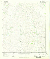
1967 · Double Mill Draw SE
USGS Topo · 1:24,000
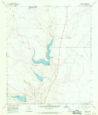
1967 · Ozona SE
USGS Topo · 1:24,000
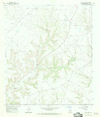
1967 · Indio Hill
USGS Topo · 1:24,000
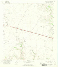
1967 · Hunt Ranch
USGS Topo · 1:24,000
1967 · Crockett Heights
USGS Topo · 1:24,000
1967 · Schneeman Draw SE
USGS Topo · 1:24,000
1967 · Mitchell Canyon NE
USGS Topo · 1:24,000