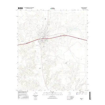
2016 Map of Ozona
USGS Topo · Published 2016About this map
Ozona sits at the intersection of deep-cut canyon topgraphy and modern transportation networks in this 2016 survey of Crockett County. The town's grid is defined by a series of numbered streets and lettered avenues, including Ave J and Ave D, which terminate at the edge of the rugged West Texas terrain. This landscape is marked by prominent seasonal watercourses such as Gurley Draw and Johnson Draw, which have historically dictated the placement of roads and settlements. To the north, the Ozona Municipal Airport and Country Club Dr indicate the town's northward expansion.
Find a feature on this map
37 named features on this map. Tap any name to fly to it.
Don’t see what you’re looking for? This feature index may not catch every label — zoom into the map to look around manually.
Map Details
Editions of this 2016 Ozona Map
This is the sole edition of this map. No revisions or reprints were ever made.
Other maps of this area

1954 · Sonora
USGS Topo · 1:250,000

1958 · Sonora
USGS Topo · 1:250,000
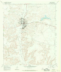
1967 · Ozona
USGS Topo · 1:24,000
1967 · Baggett Ranch
USGS Topo · 1:24,000
1967 · Double Mill Draw SE
USGS Topo · 1:24,000
1967 · Ozona SE
USGS Topo · 1:24,000
1967 · Indio Hill
USGS Topo · 1:24,000
1967 · Hunt Ranch
USGS Topo · 1:24,000
1967 · Crockett Heights
USGS Topo · 1:24,000
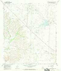
1967 · Schneeman Draw SE
USGS Topo · 1:24,000