Old Maps of Farmer, Texas for Metal Detecting
Plan your next treasure hunt with 8 historic maps of Farmer. Find old homesites, ghost towns, trails, and gathering spots that may be lost to time — perfect for identifying promising metal detecting locations.
- Locate forgotten sites: Uncover places like long-lost settlements, abandoned rail lines, or gathering spots.
- Plan better hunts: Use map overlays combined with LiDAR or satellite views to narrow in on historically rich areas.
- Made for detectorists: Thousands of hobbyists use these maps to discover relics, coins, and hidden history.
Use these historic maps to boost your research and find new opportunities beneath the surface of Farmer.
Farmer, TX maps
(8)- 1954 Map of Lubbock, 1958 Print
 1954 Lubbock1958 Print · USGSThe High Plains and Caprock region of West Texas come alive in the mid-1950s, showing a landscape defined by oil discovery and the Brazos River headwaters. Genealogists and historians can trace rail-connected towns like Roaring Springs, find the Pleasant Valley church, or locate family-named landmarks such as Soldier Mound.4 unique versions available
 - 1965 Map of Cone, 1968 Print
 1965 Cone1968 Print · USGSThe High Plains along the Crosby and Floyd county line come into focus during the mid-sixties, revealing a landscape of grid-aligned farms and small hamlets. Genealogists can locate the Cone Cem, Cone Elem Sch, and the quiet settlements of Farmer and Mc Coy.
 - 1986 Map of Lubbock
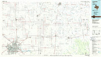 1986 Lubbock1986 Print · USGSLubbock and the surrounding High Plains are documented in the mid-eighties as a structured grid of agricultural tracts and growing urban centers. Genealogists and local historians can trace family-named areas like Heckville, old rail stops on the Atchison Topeka and Santa Fe, and the winding path of Yellow House Canyon.2 unique versions available
 - 2010 Map of Cone, 2010 Print
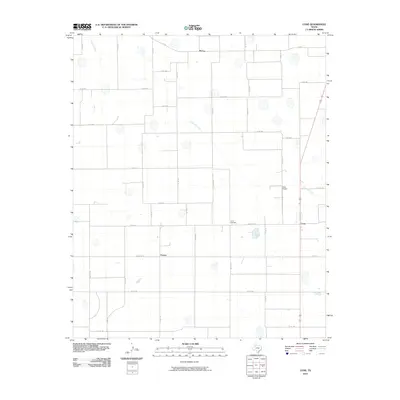 2010 Cone2010 Print · USGSThe high plains of Floyd County are documented here in the early twenty-first century, showing an established agricultural grid. Genealogists and local historians can trace the rural communities of McCoy and Farmer or locate the Cone Cemetery.
 - 2012 Map of Cone, 2012 Print
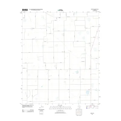 2012 Cone2012 Print · USGSThe High Plains of Floyd County are captured here in the early twenty-first century, showing a landscape shaped by agricultural grids and small rural hubs. Genealogists and local historians can locate Cone Cem and trace the paths of Crawfish Cr near Cone and Farmer.
 - 2016 Map of Cone, 2016 Print
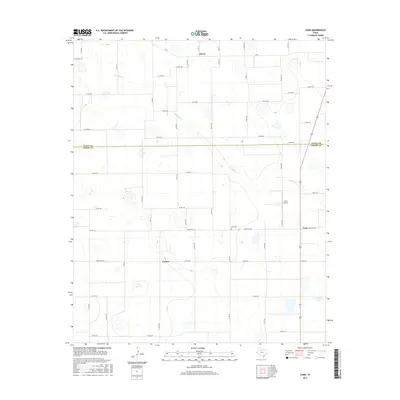 2016 Cone2016 Print · USGSThe rural border of Crosby and Floyd counties comes into focus in this mid-2010s survey of West Texas farm country. Researchers can trace the layout of regional hubs like Cone and Farmer alongside local landmarks like the Cone Cemetery and Cone Airport.
 - 2019 Map of Cone, 2019 Print
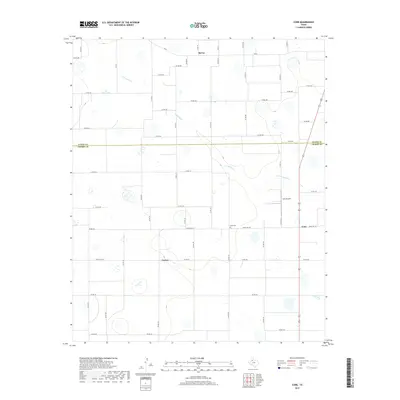 2019 Cone2019 Print · USGSFloyd and Crosby Counties are captured here in the late 2010s, showing the enduring agricultural patterns of the Texas South Plains. Researchers can trace the rural hubs of Cone and Farmer, locating local landmarks like Cone Cem and Crawfish Cr.
 - 2022 Map of Cone, 2022 Print
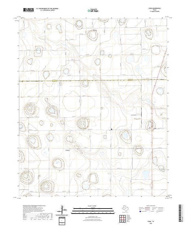 2022 Cone2022 Print · USGSCrosby and Floyd counties are captured in this modern survey of the Texas High Plains during a period of steady agricultural production. Genealogists and local historians can locate the Cone Cemetery and trace the rural layouts of Cone, Farmer, and McCoy.
End of results
Showing maps 1-8 of 8
Top cities near Farmer
- Floydada historical maps
- Idalou historical maps
- Ralls historical maps
- Crosbyton historical maps
- Petersburg historical maps
- Lorenzo historical maps
Frequently asked questions
- What are the different types of historical maps available for Farmer?
- What is the oldest map of Farmer?
- Where can I purchase historical maps of Farmer for my home or office?
- Where can I download high-res historical maps of Farmer?
- Are there historical topographic maps available for Farmer?
- Is there historical aerial imagery available for Farmer?
- Where are historical maps of Farmer sourced from?